Joshua Tree National Park near Twentynine Palms in San Bernardino County, California — The American West (Pacific Coastal)
Desert Queen Mine
Photographed by Craig Baker
1. Desert Queen Mine Marker
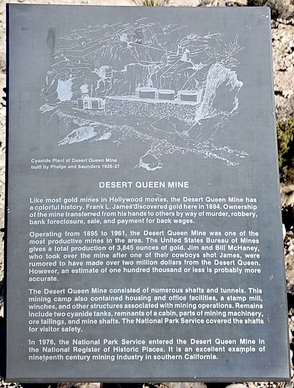
Like most gold mines in Hollywood movies, the Desert Queen Mine has a colorful history. Frank L. James discovered gold here in 1894. Ownership of the mine transferred from his hands to others by way of murder, robbery, bank foreclosure, sale, and payment for back wages.
Operating from 1895 to 1961, the Desert Queen Mine was one of the most productive mines in the area. The United States Bureau of Mines gives a total production of 3,845 ounces of gold. Jim and Bill McHaney, who took over the mine after one of their cowboys shot James, were rumored to have made over two million dollars from the Desert Queen. However, an estimate of one hundred thousand or less is probably more accurate.
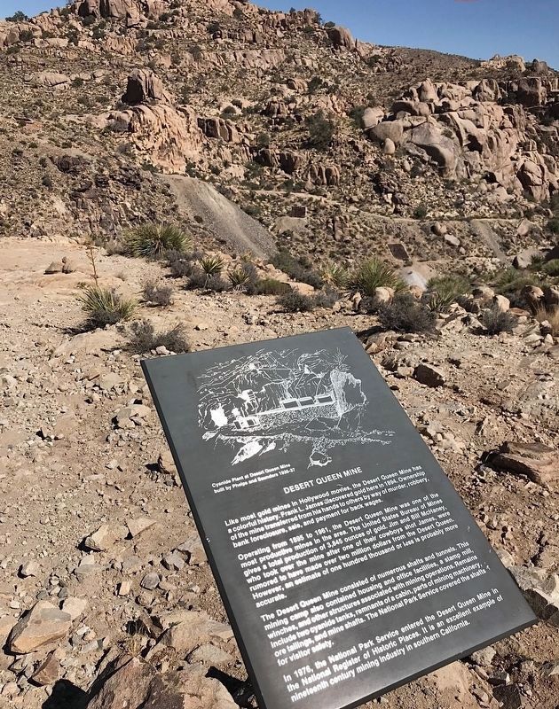
The Desert Queen Mine consisted of numerous shafts and tunnels. This mining camp also contained housing and office facilities, a stamp mill, winches, and other structures associated with mining operations. Remains include two cyanide tanks, remnants of a cabin, parts of mining machinery, ore tailings, and mine shafts. The National Park Service covered the shafts for visitor safety.
In 1976, the National Park
this page online
Topics and series. This historical marker is listed in these topic lists: Industry & Commerce • Natural Resources. In addition, it is included in the National Register of Historic Places (NRHP) series list. A significant historical year for this entry is 1894.
Location. 34° 1.375′ N, 116° 4.348′ W. Marker is near Twentynine Palms, California, in San Bernardino County. It is in Joshua Tree National Park. It can be reached from the intersection of Desert Queen Mine Road and Queen Valley Road. Hike ½-mile from Desert Queen Mine Trailhead. Touch for map. Marker is in this post office area: Twentynine Palms CA 92277, United States of America. Touch for directions.

Regionally, this marker is in Greater Los Angeles, in the Coachella Valley, in the Peninsular Ranges, and specifically in the Transverse Ranges. It is also in the American Southwest. Globally, it is in North America, on the Ring of Fire, on the Pacific Rim, in the Western Hemisphere, in the Western
Photographed by Craig Baker
2. Desert Queen Mine and Marker
Other nearby markers. At least 8 other markers are within 8 miles of this marker, measured as the crow flies: Worth Bagley Stone (approx. 3.6 miles away); Wall Street Mill (approx. 4 miles away); Barker Dam (approx. 4 miles away); Ryan Ranch (approx. 5.2 miles away); Linked to the Land (approx. 5½ miles away); Classic Lines (approx. 5.9 miles away); Welcome to the Indian Cove Trail (approx. 7.4 miles away); Hardships and Forced Transitions (approx. 7.4 miles away). Touch for a list and map of all markers in Twentynine Palms.
Credits. This page was last revised on July 14, 2024. It was originally submitted on July 14, 2024, by Craig Baker of Sylmar, California. This page has been viewed 302 times since then and 62 times this year. Photos: 1, 2. submitted on July 14, 2024, by Craig Baker of Sylmar, California.
