Near Fairhope in Somerset County, Pennsylvania — The American Northeast (Mid-Atlantic)
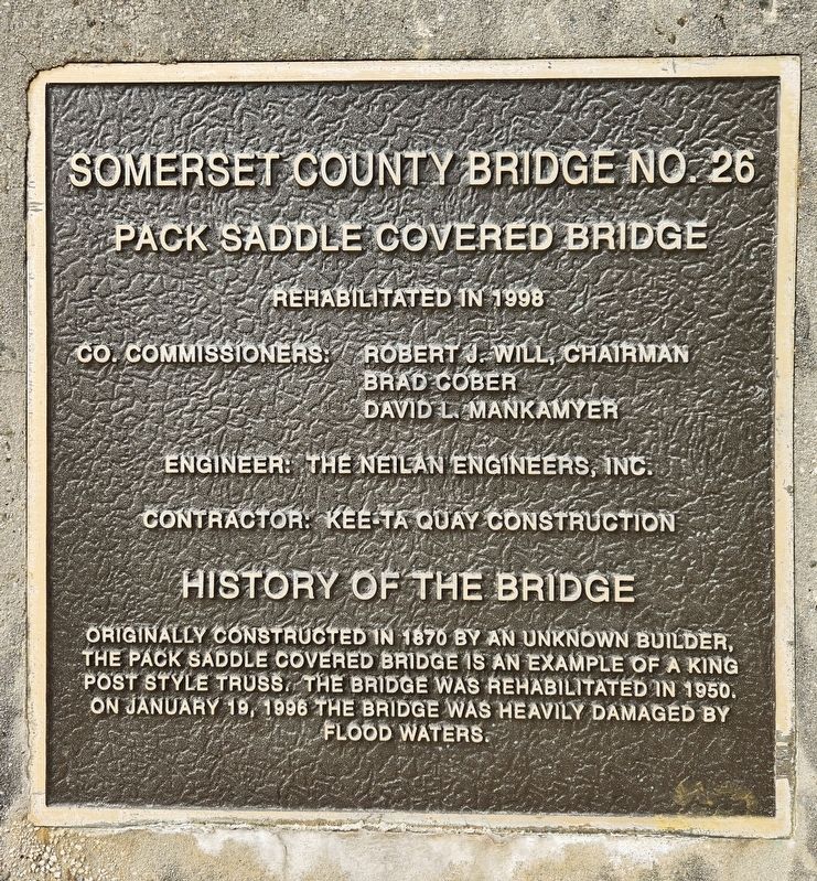
Somerset County Bridge No. 26
Photographed by Bradley Owen, July 14, 2024
1. Somerset County Bridge No. 26 Marker
Rehabilitated in 1998
Co. Commissioners: Robert J. Will, Chairman • Brad Cober • David L. Mankamyer
Engineer: The Neilan Engineers, Inc.
Contractor: Kee-Ta Quay Construction
History of the Bridge
Originally constructed in 1870 by an unknown builder, the Pack Saddle Covered Bridge is an example of a King Post Style Truss. The bridge was rehabilitated in 1950. On January 19, 1996 the bridge was heavily damaged by flood waters.
Topics and series. This historical marker is listed in this topic list: Bridges & Viaducts. In addition, it is included in the Covered Bridges series list. A significant historical date for this entry is January 19, 1996.
Location. 39° 52.055′ N, 78° 49.019′ W. Marker is near Fairhope, Pennsylvania, in Somerset County. It is on Packsaddle Road (Local Route 407) 0.1 miles west of Pine Valley Road, on the right when traveling west. Touch for map. Marker is at or near this postal address: 682 Packsaddle Road, Fairhope PA 15538, United States of America. Touch for directions.

Regionally, this marker is in Pennsylvania’s Laurel Highlands. It is also in the American
this page online
Other nearby markers. At least 8 other markers are within 8 miles of this marker, measured as the crow flies: Allegheny Township Veterans (approx. 4.8 miles away); Deeter's Gap (approx. 5.4 miles away); Lest We Forget (approx. 5.6 miles away); Bedford Co. Bridge #32 (approx. 5.8 miles away); Veterans Memorial (approx. 6 miles away); Hyndman (approx. 6.1 miles away); Altfather Mill (approx. 6.3 miles away); To The Memory Of Soldiers Of The Revolutionary War (approx. 7.9 miles away).
Photographed by Bradley Owen, July 14, 2024
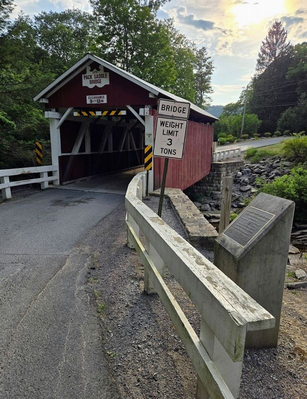
2. Somerset County Bridge No. 26 Marker
Photographed by Bradley Owen, July 14, 2024
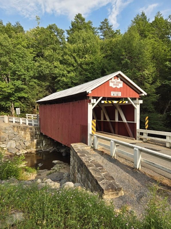
3. Pack Saddle Covered Bridge
Photographed by Bradley Owen, July 14, 2024
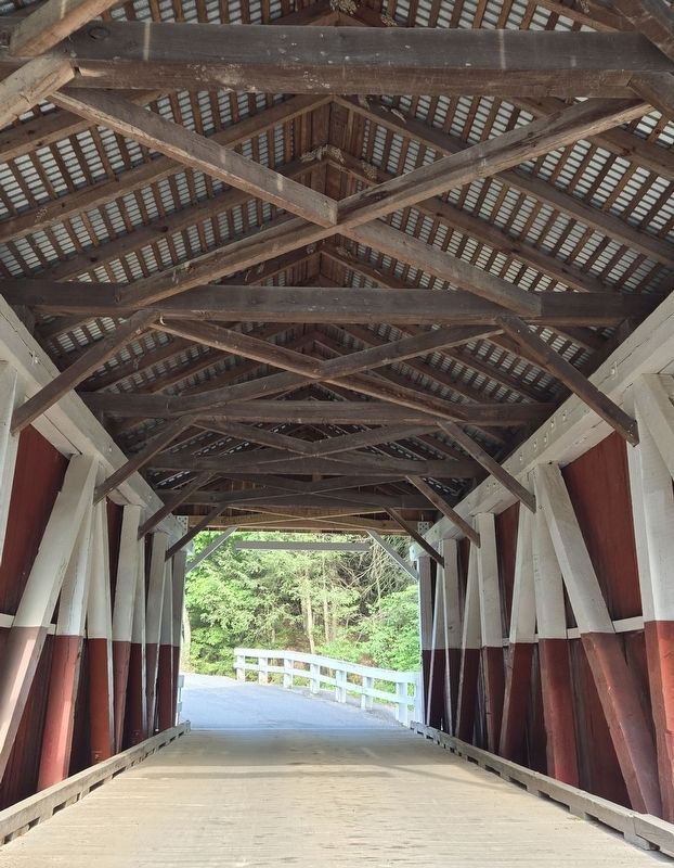
4. Interior of the Bridge
Credits. This page was last revised on July 15, 2024. It was originally submitted on July 15, 2024, by Bradley Owen of Morgantown, West Virginia. This page has been viewed 203 times since then and 41 times this year. Photos: 1, 2, 3, 4. submitted on July 15, 2024, by Bradley Owen of Morgantown, West Virginia.
