Cloudcroft in Otero County, New Mexico — The American Mountains (Southwest)
Cloud-Climbing Railroad

Photographed by James Hulse, June 25, 2024
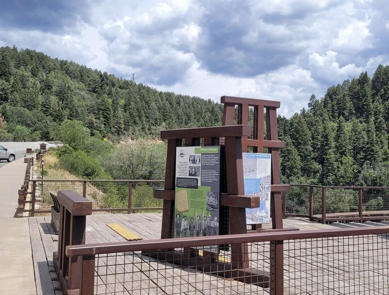
1. Cloud-Climbing Railroad Marker
Devised by Charles Eddy as a means to harvest timber from the Sacramento Mountains, the construction of the Alamogordo and Sacramento Mountain Railroad demanded many structures and track modifications to traverse the canyons and steep grades. The railroad climbed an average 5.2% grade on its way to Cloudcroft, and went across 122 wooden box bridges, 58 timber frame trestles and around 330 curves. Down the canyon from this point, the train had to maneuver a switchback, which required the train to travel in reverse for a portion of the track. Travelling up such steep ter terrain was unusual for a standard-gauge railroad and called for extreme caution by railroad workers. Train wrecks were common, due to heavy loads, often slippery tracks and weather which could wash out entire lengths of the railway, causing injury to people and the loss of equipment.
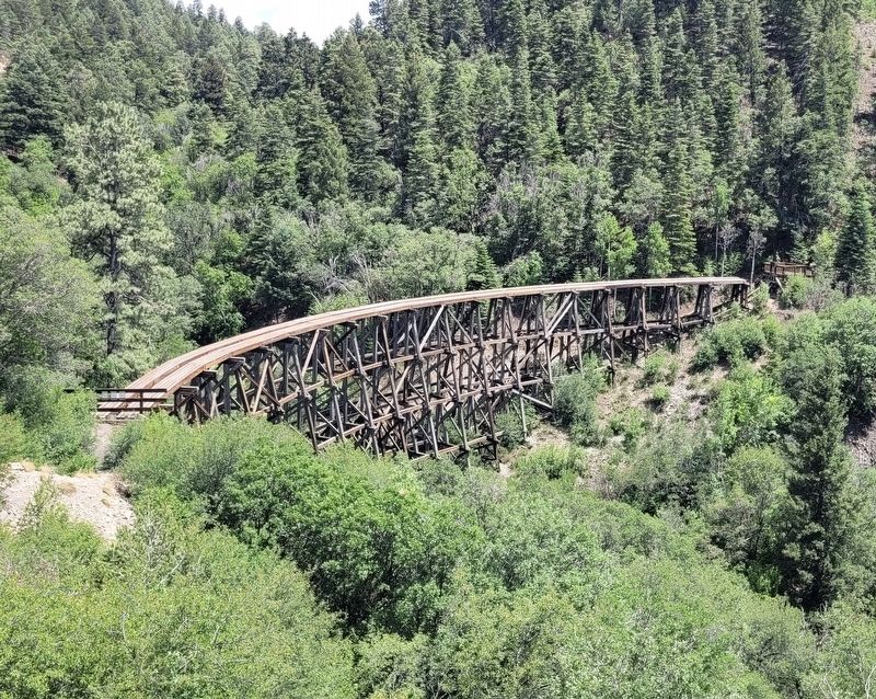
Since the closing of the railway in 1947, the A&SMR trestles have been falling into decay. Recently, efforts were made to restore the Mexican Canyon Trestle.
This is the tallest of the trestles built on the route from Alamogordo to Cloudcroft. Constructed in 1899, the trestle is 323 feet long and 60 feet high at it highest point above the canyon. All of the trestle's original timbers, including posts measuring 12"x 12" were cut from local Douglas-fir.
"Well, if I go too slow the logs jump off, and if I go too fast the cars jump off."
Tom Shorten engineer (Neal 1966)
Captions
Image courtesy of Weasel Production
Erected by US Forest Service.
this page online
Topics. This historical marker is listed in this topic list: Railroads & Streetcars. A significant historical year for this entry is 1947.
Location. 32° 57.861′ N, 105° 44.896′ W. Marker is in Cloudcroft, New Mexico, in Otero County. It is on U.S. 82, on the right when traveling east. The marker is located at the parking lot of the Mexican Canyon Trestle. Touch for map. Marker is at or near this postal address: 1646 US-82, Cloudcroft NM 88317, United States of America. Touch for directions.

Regionally, this marker is in New Mexico’s Pecos Valley. It is also in the American Borderlands and in the Southwest. Globally, it is in North America, the Western Hemisphere, the Western World, and the Anglosphere. Historically, it finds itself in what was once New Spain, the Comanchería, and the Republic of Texas.
Other nearby markers. At least 8 other markers are within walking distance of this marker: Trabajando en las Nubes / Working in the Clouds (here, next to this marker); A Place of Plenty (here, next to this marker); A Mountain Excursion (here, next to this marker); Historic Route of the Alamogordo & Sacramento Mountain Railroad
Photographed by James Hulse, June 25, 2024
2. Cloud-Climbing Railroad Marker (right side)
Photographed by James Hulse, June 25, 2024
3. Mexican Canyon Trestle
Credits. This page was last revised on July 16, 2024. It was originally submitted on July 15, 2024, by James Hulse of Medina, Texas. This page has been viewed 471 times since then and 44 times this year. Photos: 1, 2, 3. submitted on July 16, 2024, by James Hulse of Medina, Texas.
