
Cloudcroft in Otero County, New Mexico — The American Mountains (Southwest)
Burro Avenue in 1932
Village of Cloudcroft
| — | New Mexico Rails-to-Trails | — |

Photographed by James Hulse, June 25, 2024
1. Burro Avenue in 1932 Marker
This sign was created and is actively maintained by volunteers from the New Mexico Rails-to-Trails Association-o 501 (c) (3) nonprofit organization - in partnership with the Village of Cloudcroft. For more information or to find out how you can help us maintain these important paths through nature and history, please contact us at nmrailstotrails.org or find us on Facebook at /NMRailstoTrails.
Erected by Rails to Trails, Village of Cloudcroft, New Mexico and Sacramento Mountains Historical Society.
Topics. This historical marker is listed in this topic list: Notable Places. A significant historical date for this entry is August 13, 1932.
Location. 32° 57.518′ N, 105° 44.598′ W. Marker is in Cloudcroft, New Mexico, in Otero County. It is at the intersection of Burro Avenue and Mexican Avenue, on the right when traveling east on Burro Avenue. The marker is located along the street. Touch for map. Marker
this page online

Regionally, this marker is in New Mexico’s Pecos Valley. It is also in the American Southwest. Globally, it is in North America, the Western Hemisphere, the Western World, and the Anglosphere. Historically, it finds itself in what was once New Spain, the Comanchería, and the Republic of Texas.
Other nearby markers. At least 8 other markers are within walking distance of this marker: From the Ashes (here, next to this marker); Burro Avenue • 1903 (within shouting distance of this marker); Texas Hotel (within shouting distance of this marker); Old Lodge (about 700 feet away, measured in a direct line); Casino & Land Office (about 700 feet away); The Pavilion - A Magical Place (about 700 feet away); Mescalero Baseball Game, ca. 1910 (approx. 0.2 miles away); Cloudcroft Depot (approx. 0.2 miles away). Touch for a list and map of all markers in Cloudcroft.
Also see . . . The History of Cloudcroft. Sacramento Mountains Historical Society
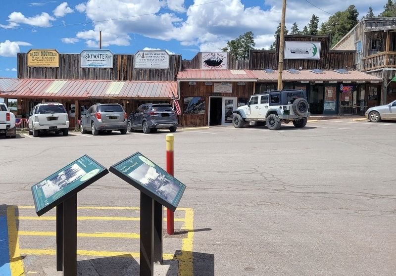
More than a century ago, brothers Charles Bishop Eddy and(Submitted on July 16, 2024, by James Hulse of Medina, Texas.)John Arthur Eddy—organizers of the El Paso and Northeastern Railroad— arrived in the brand new town of Alamogordo, hoping to continue the rail line. Because they needed railroad ties and timber, the brothers sent a survey crew into the nearby Sacramento Mountains to assess the possibility of laying a line that reached the summit. In the fall of 1898, the crew reported that not only could a line be built, the area’s majestic beauty would draw visitors from far and wide. The crew suggested the name Cloudcroft,“a pasture for the clouds.”Photographed by James Hulse2. Burro Avenue in 1932 MarkerThe marker is located on the right side of the two markers.
By the end of 1898, the railroad line reached Toboggan Canyon. The following summer, John Arthur Eddy officially opened the Pavilion at the summit that provided accommodations for visitors including a kitchen, dining room, parlor, entertainment hall and 40 tents set on wooden platforms. Guests attended the festivities by taking the train to Toboggan Canyon and then a stagecoach up to Cloudcroft. The new resort received rave reviews in El Paseo and other area newspapers, and crowds began to visit the area. Fire twice destroyed the Pavilion but it was rebuilt each time in its original style.
Photographed by James Hulse, June 25, 2024
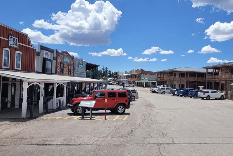
3. Looking west down Burro Avenue
Credits. This page was last revised on July 16, 2024. It was originally submitted on July 15, 2024, by James Hulse of Medina, Texas. This page has been viewed 186 times since then and 14 times this year. Photos: 1, 2, 3. submitted on July 16, 2024, by James Hulse of Medina, Texas.
