Elizabethtown in Hardin County, Kentucky — The American South (East South Central)
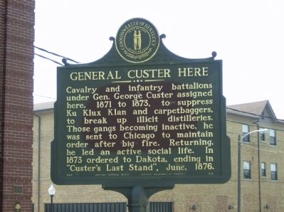
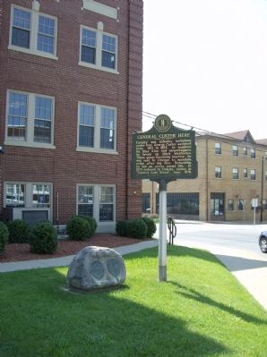
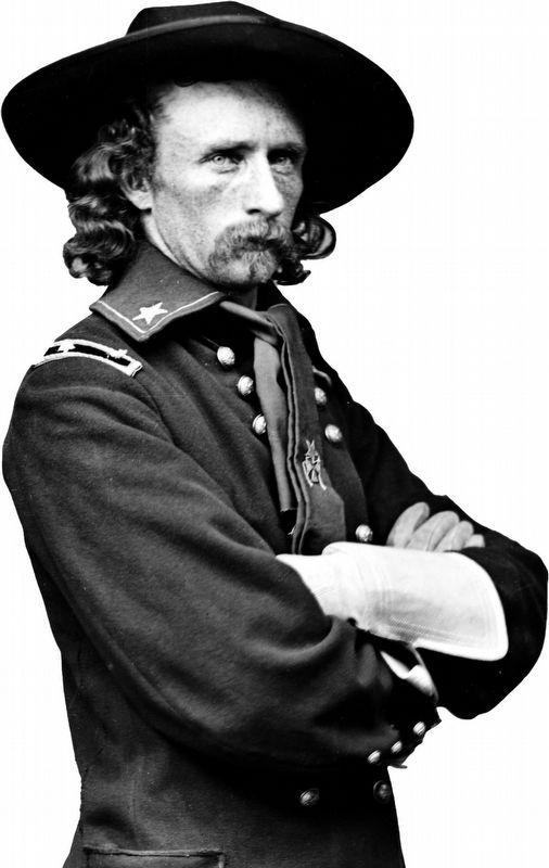
General Custer Here
Erected 1963 by Kentucky Historical Society, Kentucky Department of Highways. (Marker Number 606.)
Topics and series. This historical marker is listed in these topic lists: Disasters • Industry & Commerce • Wars, US Indian. In addition, it is included in the Kentucky Historical Society series list. A significant historical year for this entry is 1873.
Location. 37° 41.585′ N, 85° 51.484′ W. Marker is in Elizabethtown, Kentucky, in Hardin County. Marker is on Dixie Highway East (U.S. 31W), on the left when traveling west. Touch for map. Marker is in this post office area: Elizabethtown KY 42701, United States of America. Touch for directions.
Other nearby markers. At least 8 other markers are within walking distance of this marker. Hardin County (a few steps from this marker); Thomas Lincoln and Nancy Hanks Lincoln (a few steps from this marker); Gallantry in Action (a few steps from this marker); Bell from the Courthouse (a few steps from this marker); 'Ordinary' Hospitality Here (within shouting distance of this marker); ‘The Great Diamond Hoax’ (within shouting distance of this marker); 16 Public Square (within shouting distance of this marker); The Guilded Age Building (within shouting distance of this marker). Touch for a list and map of all markers in Elizabethtown.
Additional keywords. hate groups
Credits. This page was last revised on November 20, 2019. It was originally submitted on December 5, 2009, by Robert H. Moore, II of Winchester, Virginia. This page has been viewed 1,405 times since then and 64 times this year. Photos: 1, 2. submitted on December 5, 2009, by Robert H. Moore, II of Winchester, Virginia. 3. submitted on February 7, 2019, by Allen C. Browne of Silver Spring, Maryland. • Craig Swain was the editor who published this page.


