Monett in Barry County, Missouri — The American Midwest (Upper Plains)
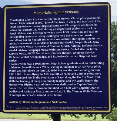
Memorializing Our Veterans
Photographed by Duane and Tracy Marsteller, June 29, 2024
1. Memorializing Our Veterans Marker
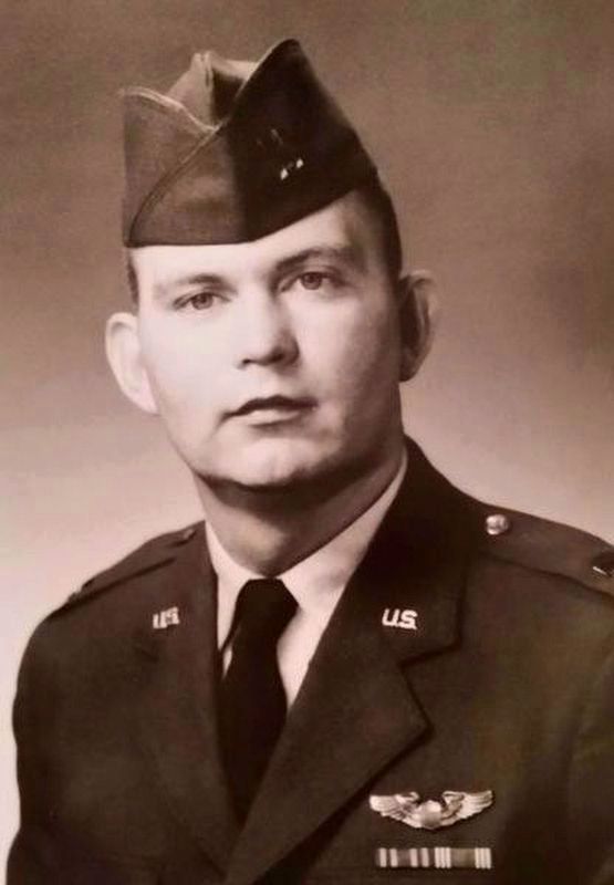
Thomas Wolfe was a 1956 Monett High School graduate and an outstanding athlete on Monett's teams. While serving in Vietnam as an Air Force pilot, Wolfe was shot down on June 28, 1966. He was declared missing on June 28th 1966. He was flying an A-26 aircraft when he and 2 other pilots
this page online
Written by: Brandon Borgman and Nick Walton
This sign was created by students under the direction of Monett High School Missouri Literature and Composition teacher Amy M. Sampson and was paid for via a grant she wrote and was awarded from Rural Schools Collaborative and their 2023 Celia B. Godsil Grants in Place Fellows Program.
Erected 2023 by Monett High School students.
Topics and series. This historical marker is listed in these topic lists: War, Afghanistan • War, Vietnam. In addition, it is included in the Missouri, Monett High School class project series list.
Location. 36° 54.662′ N, 93° 55.67′ W. Marker is in Monett, Missouri, in Barry County. It can be reached
Photographed by Duane and Tracy Marsteller, June 29, 2024
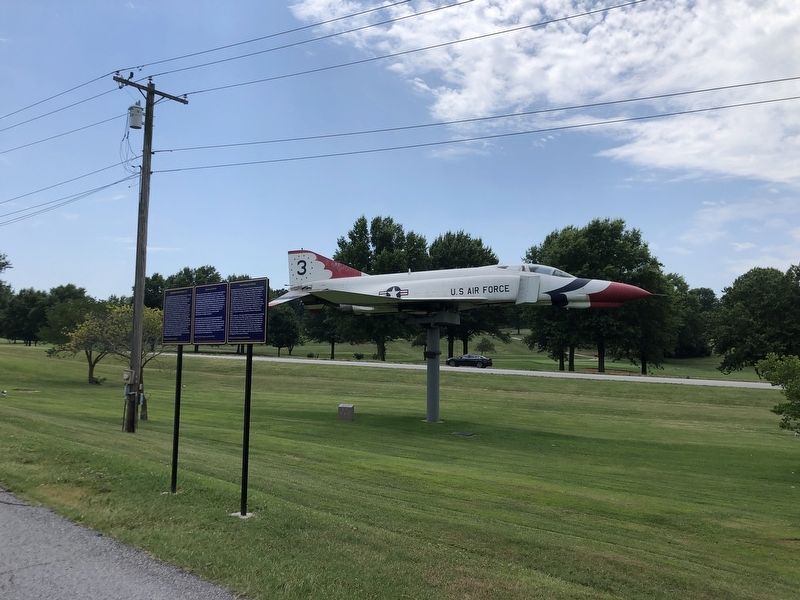
2. Memorializing Our Veterans Marker
Featured marker is on the right.

Regionally, this marker is in Southwest Missouri and in the Branson and Table Rock Lake Area. It is also in the American Ozarks, in the Lewis & Clark Corridor, and in the Corn Belt. Globally, it is in North America, the Western Hemisphere, the Western World, and the Anglosphere. Historically, it finds itself in what was once the territory of the Mississippian Culture, the Louisiana Purchase, and the Antebellum South.
Other nearby markers. At least 8 other markers are within walking distance of this marker: Airplanes and Monett (here, next to this marker); Logan McKee and the 4th of July 1911 (here, next to this marker); Christopher G. Stark Memorial (within shouting distance of this marker); Veterans Memorial (within shouting distance of this marker); War Memorial (approx. 0.2 miles away); Monett Cave (approx.
U.S. Air Force; via The Wall of Faces (Public Domain)
3. Capt. Thomas Hubert Wolfe (1938-1966)
He had been overseas just three months when his plane was shot down. As of mid-2024 his remains have not been recovered despite the efforts of his family and the larger Monett community.
Combined Joint Task Force 101 via Defense Visual Information Distribution Service (Public Domain), January 20, 2011
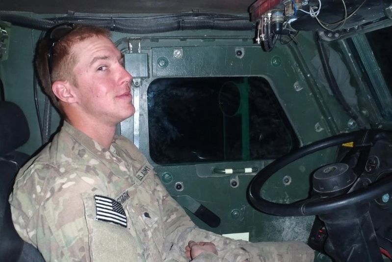
4. U.S. Army Spc. Christopher G. Stark (1988-2011)
He was among the first group of cadets to launch the JROTC Program at Southwest Area Career Center in Monett.
Credits. This page was last revised on July 16, 2024. It was originally submitted on July 15, 2024, by Duane and Tracy Marsteller of Murfreesboro, Tennessee. This page has been viewed 162 times since then and 24 times this year. Photos: 1, 2, 3, 4. submitted on July 15, 2024, by Duane and Tracy Marsteller of Murfreesboro, Tennessee.
