Upper South Providence in Providence County, Rhode Island — The American Northeast (New England)
Manchester Street Station
The Early Years
⎯⎯⎯
The 1930's
Photographed by Devry Becker Jones (CC0), July 10, 2024
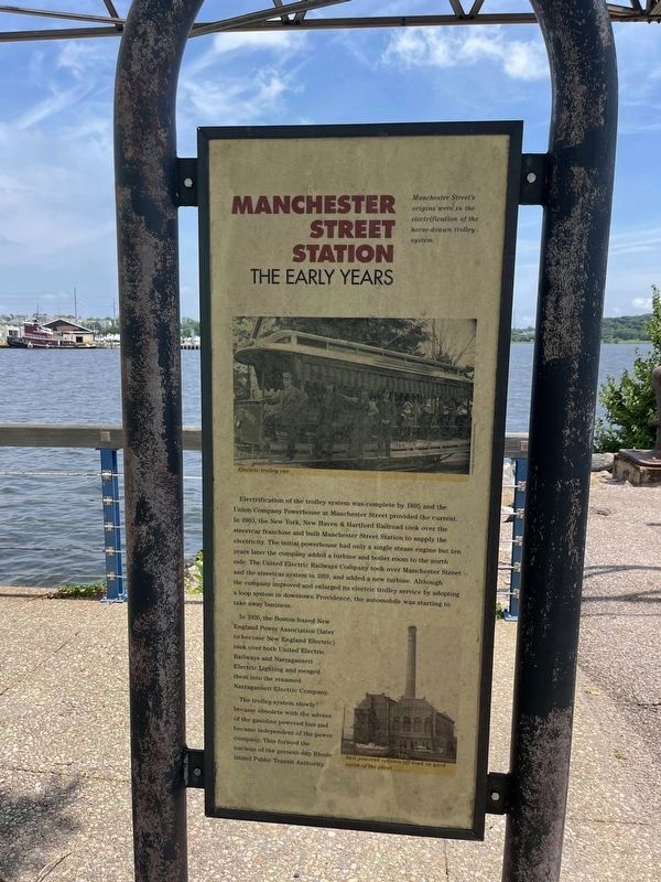
1. Manchester Street Station Marker (The Early Years side)
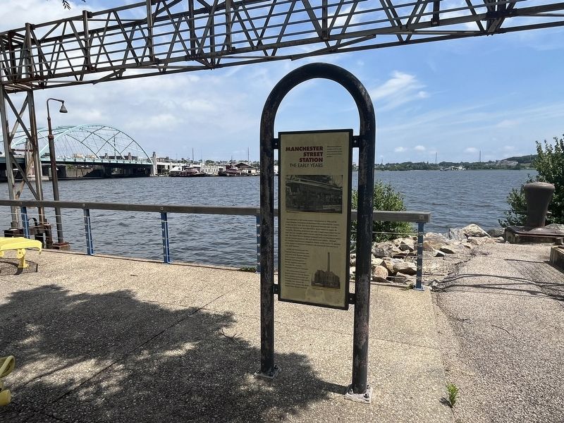
The Early Years
Manchester Street's origins were in the electrification of the horse-drawn trolley system.
Electrification of the trolley system was complete by 1895 and the Union Company Powerhouse at Manchester Street provided the current. In 1903, the New York, New Haven & Hartford Railroad took over the streetcar franchise and built Manchester Street Station to supply the electricity. The initial powerhouse had only a single steam engine but ten years later the company added a turbine and boiler room to the north side. The Union Electric Railways Company took over Manchester Street and the streetcar system in 1919, and added a new turbine. Although the company improved and enlarged its electric trolley service by adopting a loop system in downtown Providence, the automobile was starting to take away business.
In 1926, the Boston-based New England Power Association (later to become New England Electric) took over both Union Electric Railways and Narragansett Electric Lighting and merged them into the renamed Narragansett Electric Company.
The trolley system slowly became obsolete with the advent of the gasoline
this page online
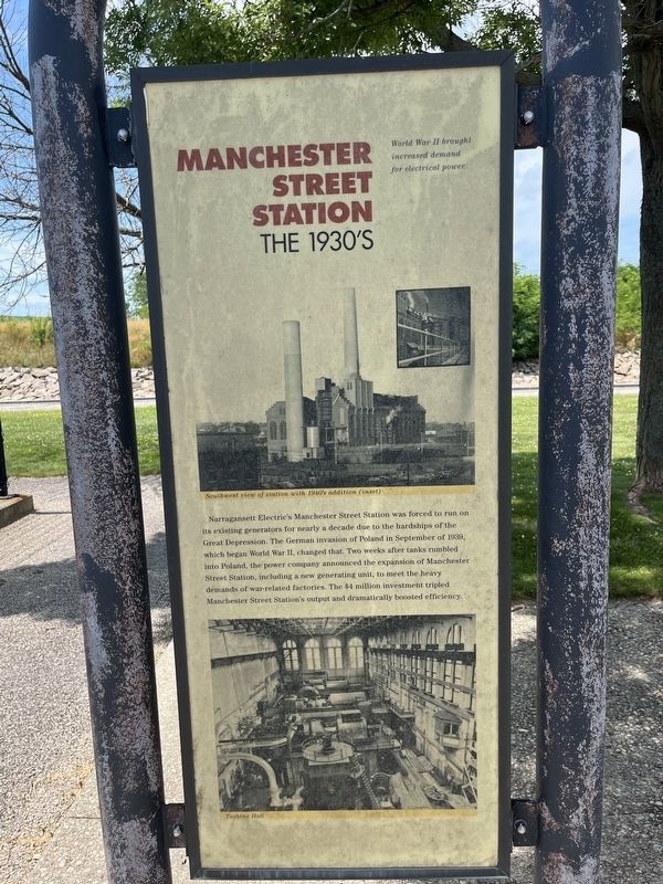
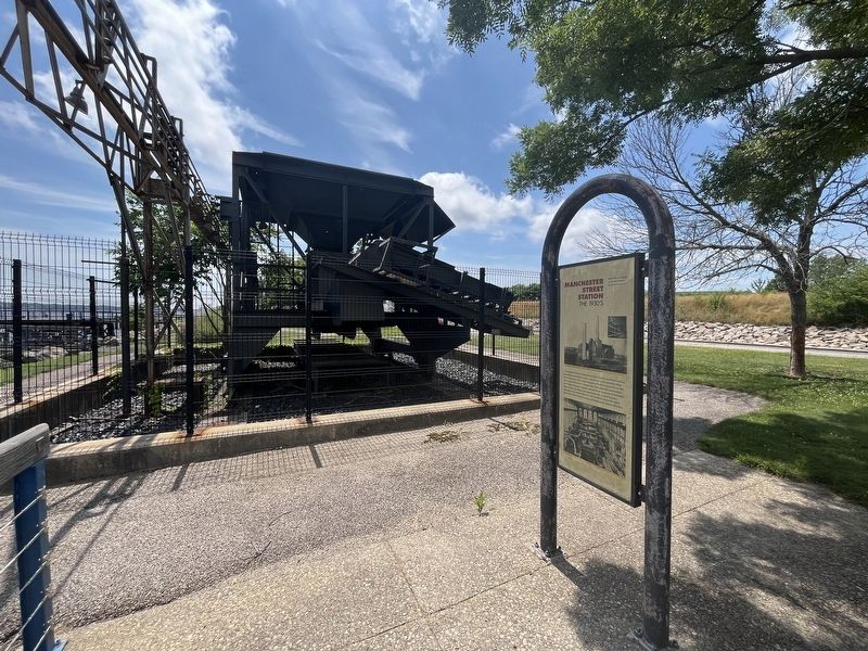
1930's
World War II brought increased demand for electrical power.
Narragansett Electric's Manchester Street Station was forced to run on its existing generators for nearly a decade due to the hardships of the Great Depression. The German invasion of Poland in September of 1939, which began World War II, changed that. Two weeks after tanks rumbled into Poland, the power company announced the expansion of Manchester Street Station, including a new generating unit, to meet the heavy demands of war-related factories. The $4 million investment tripled Manchester Street Station's output and dramatically boosted efficiency.
Topics. This historical marker is listed in these topic lists: Industry & Commerce • Railroads & Streetcars • War, World II. A significant historical month for this entry is September 1939.
Location. 41° 48.797′ N, 71° 24.13′ W. Marker is in Providence, Rhode Island, in Providence County. It is in Upper South Providence. It is on Henderson Street 0.3 miles east of Allens Avenue (U.S.
Photographed by Devry Becker Jones (CC0), July 10, 2024
2. Manchester Street Station Marker (The 1930's side)

Regionally, this marker is on Rhode Island’s Narragansett Bay. It is also in the American Northeast, in New England, and on the Eastern Seaboard. Globally, it is in the North Atlantic Region, North America, the Western Hemisphere, the Western World, and the Anglosphere. Historically, it finds itself in what was once one of the original Thirteen Colonies.
Other nearby markers. At least 8 other markers are within walking distance of this marker: Manchester Street Station / The Providence River (about 300 feet away, measured in a direct line); Collier Point Park / South Street Station (about 400 feet away); The Fox Point Hurricane Barrier / From Oil to Gas (about 600 feet away); Providence River Bridge (approx. 0.2 miles away); Providence River Park (approx. ¼ mile away); Colonial Wharf at South Water Street: 1910-1942 / Fox Point and the Night Boat Era 1822-1932 (approx. ¼ mile away); The Fox Point Hurricane Barrier / A Second Life for the Hurricane Barrier
Credits. This page was last revised on July 16, 2024. It was originally submitted on July 16, 2024, by Devry Becker Jones of Washington, District of Columbia. This page has been viewed 175 times since then and 26 times this year. Photos: 1, 2, 3, 4. submitted on July 16, 2024, by Devry Becker Jones of Washington, District of Columbia.
