Monett in Barry County, Missouri — The American Midwest (Upper Plains)
Monett Railroad YMCA

Photographed by Duane and Tracy Marsteller, June 29, 2024
1. Monett Railroad YMCA Marker
Written by: Angel Rodriguez and Ethan Twyford
This sign was created by students under the direction of Monett High School Missouri Literature and Composition teacher Amy M. Sampson and was paid for via a grant she wrote and was awarded from Rural Schools Collaborative and their 2023 Celia B. Godsil Grants in Place Fellows Program.
Erected 2023 by Monett High School students.
Topics and series. This historical marker is listed in these topic lists: Charity & Public Work • Railroads & Streetcars. In addition, it is included
this page online
Location. 36° 55.232′ N, 93° 55.241′ W. Marker is in Monett, Missouri, in Barry County. It is at the intersection of 6th Street and Front Street, on the right when traveling south on 6th Street. Touch for map. Marker is at or near this postal address: 100 6th St, Monett MO 65708, United States of America. Touch for directions.

Regionally, this marker is in Southwest Missouri and in the Branson and Table Rock Lake Area. It is also in the American Ozarks, in the Lewis & Clark Corridor, and in the Corn Belt. Globally, it is in North America, the Western Hemisphere, the Western World, and the Anglosphere. Historically, it finds itself in what was once the territory of the Mississippian Culture, the Louisiana Purchase, and the Antebellum South.
Other nearby markers. At least 8 other markers are within walking distance of this marker: The Gillioz Theater (about 400 feet away, measured in a direct line); Monett Harvey House (about 400 feet away); Monett Lynching (about 400 feet away); Whistle Stops (about 400 feet away);
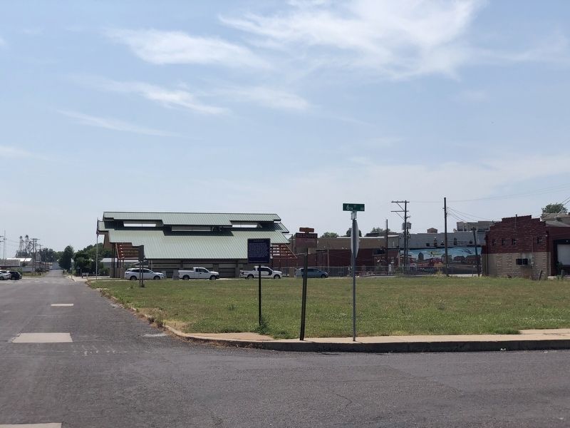
Photographed by Duane and Tracy Marsteller, June 29, 2024
2. Monett Railroad YMCA Marker
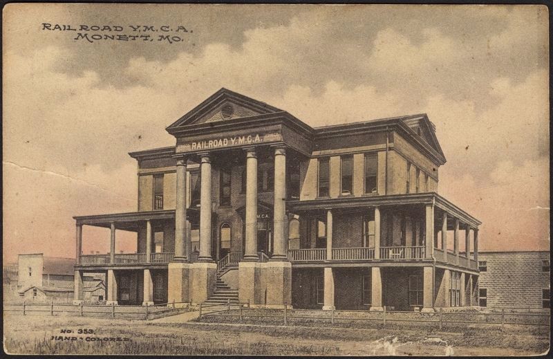
Fred Harvey Co.; via Picryl (Public Domain), circa 1900/15
3. Monett Railroad YMCA Postcard
Credits. This page was last revised on July 17, 2024. It was originally submitted on July 16, 2024, by Duane and Tracy Marsteller of Murfreesboro, Tennessee. This page has been viewed 335 times since then and 52 times this year. Photos: 1, 2. submitted on July 16, 2024, by Duane and Tracy Marsteller of Murfreesboro, Tennessee. 3. submitted on July 17, 2024, by Duane and Tracy Marsteller of Murfreesboro, Tennessee.
