
Near Ely in White Pine County, Nevada — The American Mountains (Southwest)
Hamilton
Photographed by Karen Key, November 23, 2008
1. Hamilton Marker
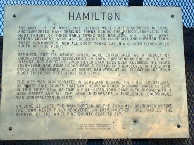
The mines of the White Pine District were first discovered in 1865 and supported many thriving towns during the period 1868-1875. The most famous of these early towns was Hamilton, but there were others adjacent, such as Eberhardt, Treasure City and Sherman Town. These communities, now all ghost towns, lay in a cluster 11 miles south of this point.
Hamilton, and its nearby cities, were established as a result of large-scale silver discoveries in 1868. Experiencing one of the most intense, but shortest lived, silver stampedes ever recorded, the years 1868-1869 saw some 10,000 people establish themselves in huts and caves on Treasure Hill at Mount Hamilton, at an elevation of from 8,000 to 10,500 feet above sea level.
The city was incorporated in 1869, and became the first county seat of White Pine County that same year, and was disincorporated in 1875. In this brief span of time, a full-sized town came into bloom with a main street and all the usual businesses. A fine brick courthouse was constructed in 1870.
On June 27, 1873, the main portion of the town was destroyed by fire. The town never fully recovered.
this page online
State Historical Marker No. 53
Nevada State Park System
White Pine Public Museum, Inc.
7-6-69
Erected 1969 by Nevada State Park System and White Pine Public Museum, Inc. (Marker Number 53.)
Topics. This historical marker is listed in these topic lists: Industry & Commerce • Natural Resources • Political Subdivisions • Settlements & Settlers. A significant historical month for this entry is June 1864.
Location. This marker has been replaced by another marker nearby. It was located near 39° 21.217′ N, 115° 23.667′ W. Marker was near Ely, Nevada, in White Pine County. It was on Highway 50. Touch for map. Marker was in this post office area: Ely NV 89301, United States of America. Touch for directions.

Regionally, this marker was in Central Nevada and in Elko Country. It was also in the American Mountain West. Globally, it was in North America, the Western Hemisphere, the Western World, and the Anglosphere. Historically, it found itself in what was once New Spain and also Mexico’s Alta California.
Other nearby markers. At
Photographed by Karen Key, November 23, 2008
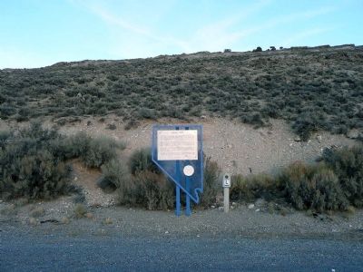
2. Hamilton Marker
Also see . . .
1. Ghost Towns - Hamilton. (Submitted on December 25, 2008, by Karen Key of Sacramento, California.)
2. New Amended Text for Marker. The Nevada State Historic Preservation Office (SHPO) recently updated the text of the roughly 260 state historical markers in Nevada. The Nevada SHPO placed the amended text of each individual marker on its website and will change the actual markers in the field as funding allows. Minor changes have been made to the marker for grammar and readability. The link will take you to the Nevada SHPO page for the marker with the amended text. (Submitted on November 12, 2013, by Duane Hall of Abilene, Texas.)
Photographed by Bill Kirchner, October 6, 2013
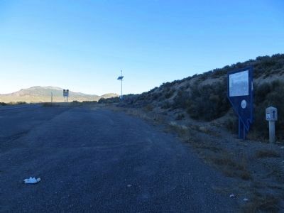
3. Hamilton Marker
View west from marker on US-50.
Photographed by Jeff Leichsenring, July 1, 2024
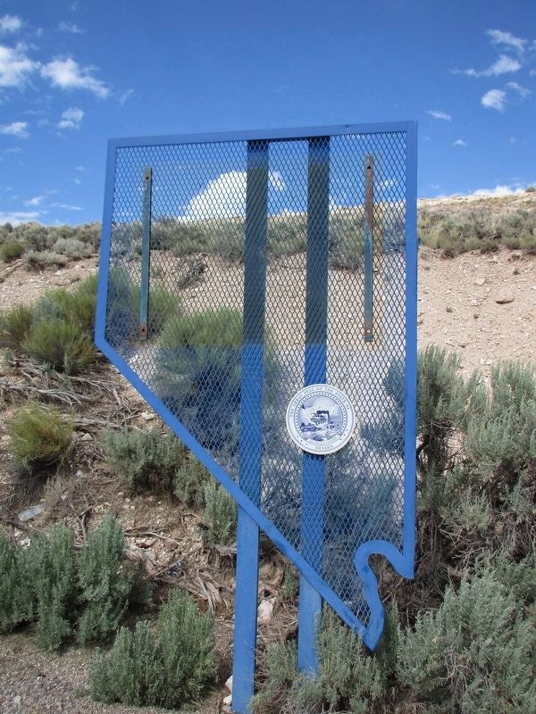
4. Missing Hamilton Marker
Credits. This page was last revised on December 18, 2025. It was originally submitted on December 25, 2008, by Karen Key of Sacramento, California. This page has been viewed 1,021 times since then and 12 times this year. Last updated on July 17, 2024, by Jeff Leichsenring of Garland, Texas. Photos: 1, 2. submitted on December 25, 2008, by Karen Key of Sacramento, California. 3. submitted on October 22, 2013, by Bill Kirchner of Tucson, Arizona. 4. submitted on July 17, 2024, by Jeff Leichsenring of Garland, Texas. • Devry Becker Jones was the editor who published this page.
