South Attleboro in Bristol County, Massachusetts — The American Northeast (New England)
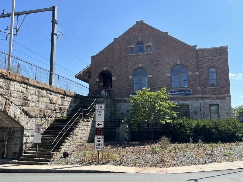
Southbound Train Station
Historic Site
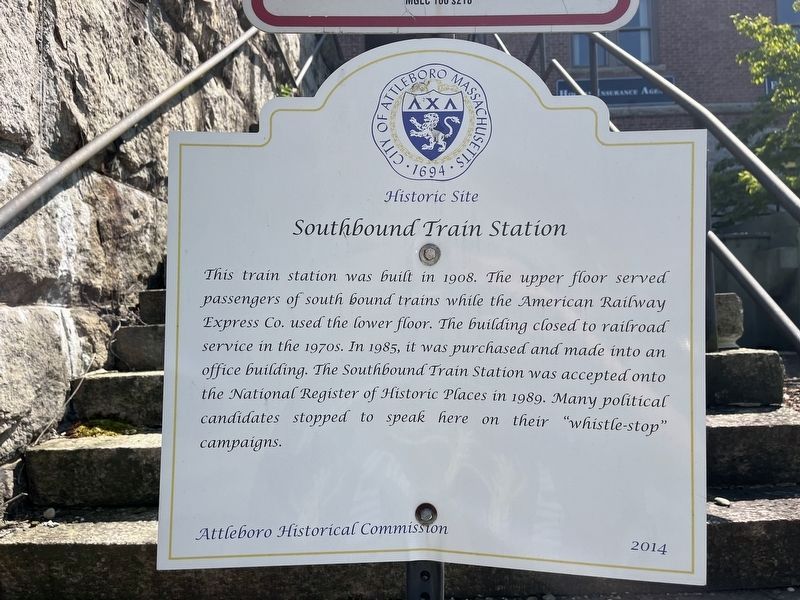
Erected 2014 by Attleboro Historical Committee.
Topics. This historical marker is listed in these topic lists: Government & Politics • Industry & Commerce • Railroads & Streetcars. A significant historical year for this entry is 1908.
Location. 41° 56.557′ N, 71° 17.037′ W. Marker is in Attleboro, Massachusetts, in Bristol County. It is in South Attleboro. It is at the intersection of Mill Street and Railroad Avenue, on the right when traveling east on Mill Street. Touch for map. Marker is at or near this postal address: 3 Mill St, Attleboro MA 02703, United States of America. Touch for directions.

Regionally, this marker is in Greater Providence. It is also in the
this page online
Other nearby markers. At least 8 other markers are within walking distance of this marker: Northbound Train Station (within shouting distance of this marker); First Parsonage, East Parish (within shouting distance of this marker); Alfred Johnson and John B. Morin (about 400 feet away, measured in a direct line); The Mullaney Twins Memorial Parking Area (about 600 feet away); Attleboro Refining Company (about 600 feet away); Charles O. Fiske Square (about 600 feet away); L.G. Balfour Company WWII Marker (about 600 feet away); Bolkum's Tavern Site (about 700 feet away). Touch for a list and map of all markers in Attleboro.
Credits. This page was last revised on July 17, 2024. It was originally submitted on July 17, 2024, by Devry Becker Jones of Washington, District of Columbia. This page has been viewed 196 times since then and 20 times this year. Photos: 1, 2. submitted on July 17, 2024, by Devry Becker Jones of Washington, District of Columbia.
