South Attleboro in Bristol County, Massachusetts — The American Northeast (New England)
First Parsonage, East Parish
Historic Site
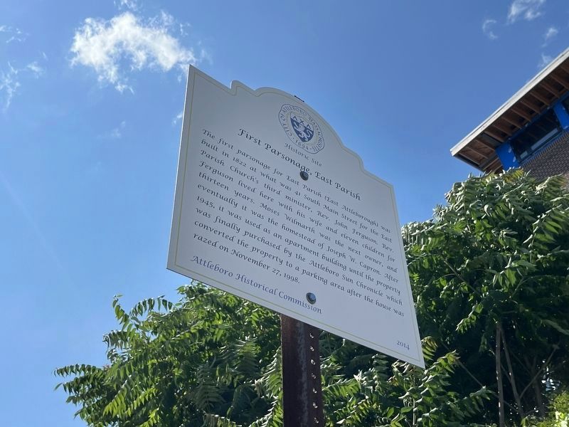
Erected 2014 by Attleboro Historical Commission.
Topics. This historical marker is listed in these topic lists: Notable Buildings • Religion & Religious Structures. A significant historical date for this entry is November 27, 1998.
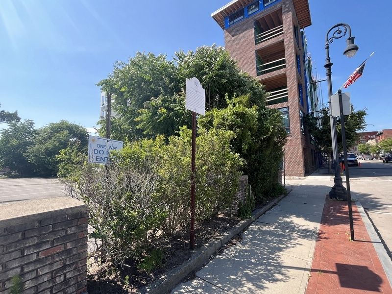
Location. 41° 56.591′ N, 71° 17.063′ W. Marker is in Attleboro, Massachusetts, in Bristol County. It is in South Attleboro. It is on South Main Street (Massachusetts Route 152) just north of Mill Street, on the left when traveling north. Touch for map. Marker is at or near this postal address: 41 South Main Street, Attleboro MA 02703, United States of America. Touch for directions.

Regionally, this marker
this page online
Other nearby markers. At least 8 other markers are within walking distance of this marker: Southbound Train Station (within shouting distance of this marker); The Mullaney Twins Memorial Parking Area (about 300 feet away, measured in a direct line); Northbound Train Station (about 400 feet away); L.G. Balfour Company WWII Marker (about 400 feet away); Charles O. Fiske Square (about 400 feet away); Bolkum's Tavern Site (about 500 feet away); Alfred Johnson and John B. Morin (about 600 feet away); Peters Square (about 600 feet away). Touch for a list and map of all markers in Attleboro.
Credits. This page was last revised on July 18, 2024. It was originally submitted on July 18, 2024, by Devry Becker Jones of Washington, District of Columbia. This page has been viewed 145 times since then and 22 times this year. Photos: 1, 2. submitted on July 18, 2024, by Devry Becker Jones of Washington, District of Columbia.
