Camp Verde in Yavapai County, Arizona — The American Mountains (Southwest)
Power Shovel

Photographed by James Hulse, June 19, 2024
1. Power Shovel Marker
Topics. This historical marker is listed in this topic list: Industry & Commerce. A significant historical year for this entry is 1920.
Location. 34° 33.965′ N, 111° 51.157′ W. Marker is in Camp Verde, Arizona, in Yavapai County. It is at the intersection of South Coppinger Street and East Hance Street, on the left when traveling south on South Coppinger Street. The marker is located in front of the historic George Hance House. Touch for map. Marker is at or near this postal address: 229 S Coppinger St, Camp Verde AZ 86322, United States of America. Touch for directions.

Regionally, this marker is in Arizona’s Verde Valley and in the Yavapai-Apache Nation. It is also in the American Southwest and in the Mountain West. Globally, it is in North America, the Western Hemisphere, the Western World, and the Anglosphere. Historically, it finds itself in what was once New Spain and also Mexico’s Alta
this page online
Other nearby markers. At least 8 other markers are within walking distance of this marker: Surgeon’s Quarters (within shouting distance of this marker); Site of Married Officers’ Quarters (within shouting distance of this marker); Bachelor Officers Quarters (about 300 feet away, measured in a direct line); Flagpole & Administration Building (about 400 feet away); Commanding Officers Quarters (about 400 feet away); a different marker also named Site of Married Officers' Quarters (about 500 feet away); Officers’ Row (about 600 feet away); Fort Verde State Historic Park (about 700 feet away). Touch for a list and map of all markers in Camp Verde.
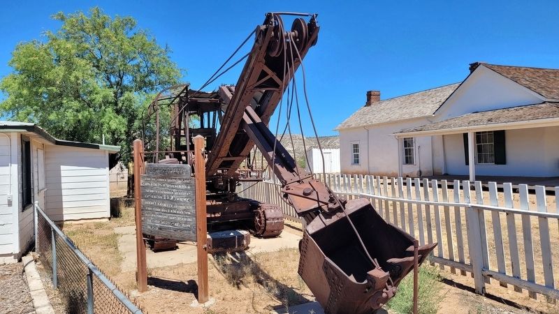
Photographed by James Hulse, June 19, 2024
2. The Power Shovel and Marker
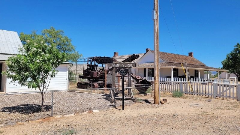
Photographed by James Hulse, June 19, 2024
3. The Power Shovel Marker along the Camp Verde Fort
Credits. This page was last revised on July 18, 2024. It was originally submitted on July 18, 2024, by James Hulse of Medina, Texas. This page has been viewed 182 times since then and 16 times this year. Photos: 1, 2, 3. submitted on July 18, 2024, by James Hulse of Medina, Texas.
