Abbottsville in Darke County, Ohio — The American Midwest (Great Lakes)
Abbottsville Church Bell
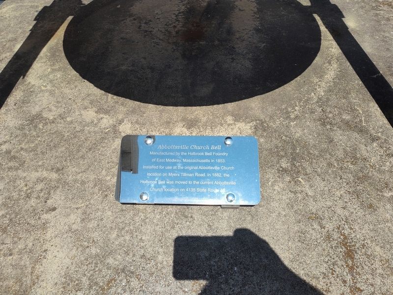
Photographed by Craig Doda, July 7, 2024
1. Abbottsville Church Bell Marker
Topics and series. This historical marker is listed in this topic list: Religion & Religious Structures. In addition, it is included in the Historic Bells series list. A significant historical year for this entry is 1853.
Location. 40° 2.289′ N, 84° 34.727′ W. Marker is in Abbottsville, Ohio, in Darke County. It is on Ohio Route 49, on the right when traveling north. Touch for map. Marker is at or near this postal address: 4135 OH-49, Arcanum OH 45304, United States of America. Touch for directions.

Regionally, this marker is in Ohio’s Till Plains. It is also in the American Midwest and in the Corn Belt. Globally, it is in North America, the Western Hemisphere, the Western World, and the Anglosphere. Historically, it finds itself in what was once the Haudenosaunee (Iroquois) Confederacy, the territory of the Mississippian Culture, and the
this page online
Other nearby markers. At least 8 other markers are within 5 miles of this marker, measured as the crow flies: William Byers (approx. ¼ mile away); Arcanum Garden Club Veterans Memorial (approx. 3.2 miles away); Site of First Log Cabin (approx. 3.4 miles away); Never Forget Garden (approx. 3.6 miles away); Studabaker School (approx. 3.6 miles away); Fort Jefferson Veterans Memorial (approx. 4.1 miles away); Fort Jefferson (approx. 4.1 miles away); a different marker also named Fort Jefferson (approx. 4.2 miles away).
Another marker is no longer nearby. Fort Jefferson (was approx. 4.1 miles away but has been permanently removed).
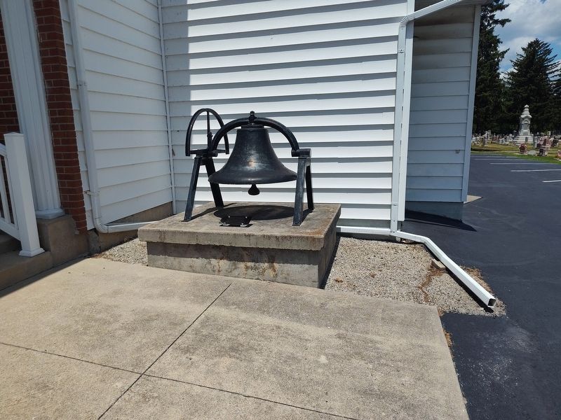
Photographed by Craig Doda, July 7, 2024
2. Abbottsville Church Bell
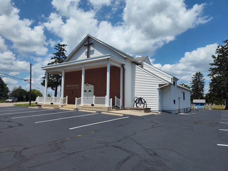
Photographed by Craig Doda, July 7, 2024
3. Abbottsville United Methodist Church
Credits. This page was last revised on July 19, 2024. It was originally submitted on July 18, 2024, by Craig Doda of Napoleon, Ohio. This page has been viewed 266 times since then and 38 times this year. Photos: 1, 2, 3. submitted on July 18, 2024, by Craig Doda of Napoleon, Ohio. • Andrew Ruppenstein was the editor who published this page.
