Madison Township near Carthage in Jasper County, Missouri — The American Midwest (Upper Plains)
Blacksmith Shop
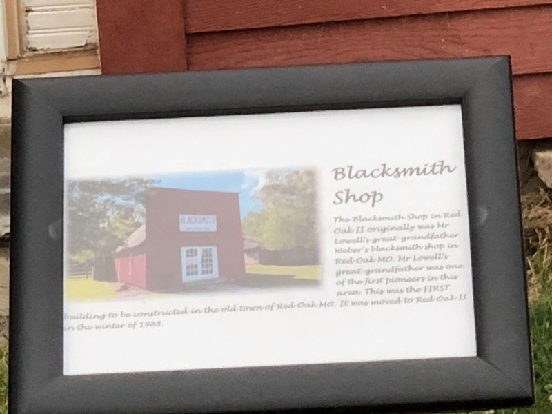
Photographed by Duane and Tracy Marsteller, June 29, 2024
1. Blacksmith Shop Marker
Topics. This historical marker is listed in these topic lists: Notable Buildings • Settlements & Settlers. A significant historical year for this entry is 1988.
Location. 37° 12.734′ N, 94° 16.599′ W. Marker is near Carthage, Missouri, in Jasper County. It is in Madison Township. It is on County Loop 122 south of Kafir Road, on the right when traveling south. Touch for map. Marker is at or near this postal address: 10951 County Loop 122, Carthage MO 64836, United States of America. Touch for directions.

Regionally, this marker is in Southwest Missouri. It is also in the American Lewis & Clark Corridor and in the Corn Belt. Globally, it is in North America, the Western Hemisphere, the Western World, and the Anglosphere. Historically, it finds itself in what was once the territory of
this page online
Other nearby markers. At least 8 other markers are within walking distance of this marker: Red Oak II General Store (a few steps from this marker); Red Oak II, Missoura (about 400 feet away, measured in a direct line); Garfield Wiley Cabin (about 500 feet away); The Parsonage at Red Oak II (about 500 feet away); Hornback Cabin (about 500 feet away); George Hornback Cabin (about 600 feet away); Dalton Gang Homestead (about 700 feet away); Red Oak II Train Station (about 700 feet away). Touch for a list and map of all markers in Carthage.
More about this marker. It is located in Red Oak II, a re-creation of an early 20th century rural Missouri town by noted artist Lowell Davis.

Photographed by Duane and Tracy Marsteller, June 29, 2024
2. Blacksmith Shop Marker
Credits. This page was last revised on July 18, 2024. It was originally submitted on July 18, 2024, by Duane and Tracy Marsteller of Murfreesboro, Tennessee. This page has been viewed 178 times since then and 29 times this year. Photos: 1, 2. submitted on July 18, 2024, by Duane and Tracy Marsteller of Murfreesboro, Tennessee.
