Greenville in Pitt County, North Carolina — The American South (South Atlantic)
Sycamore Hill Missionary Baptist Church
African-American Cultural Trail Greenville-Pitt County
Photographed by Ray Gurganus, November 10, 2021
1. Sycamore Hill Missionary Baptist Church Marker
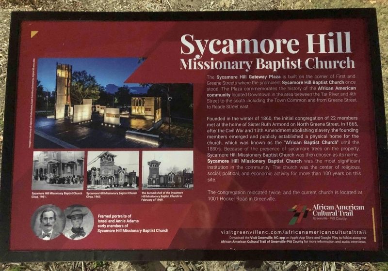
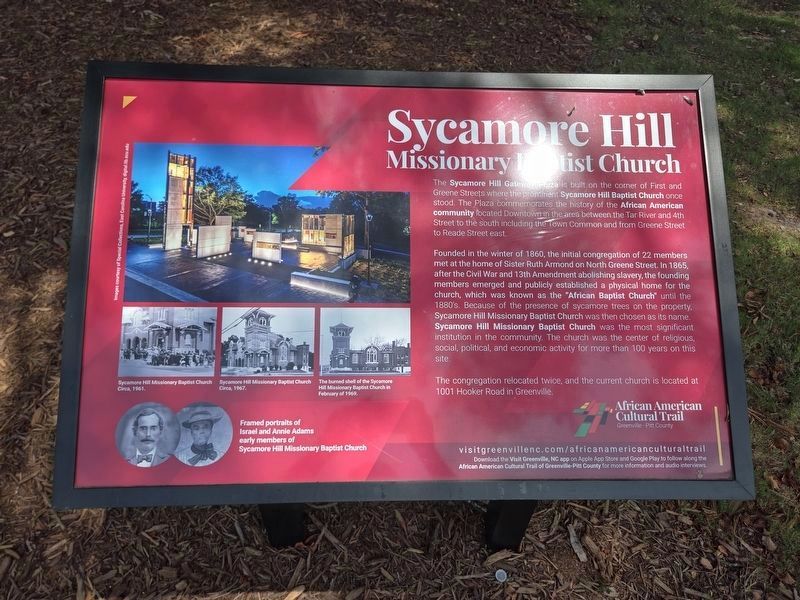
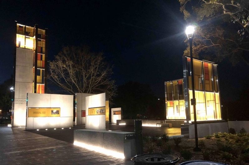
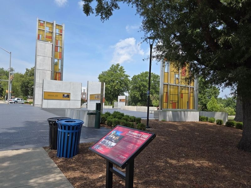
The Sycamore Hill Gateway Plaza is built on the corner of First and Greene Streets where the prominent Sycamore Hill Baptist Church once stood. The Plaza commemorates the history of the African American community located Downtown in the area between the Tar River and 4th Street to the south including the Town Common and from Greene Street to Reade Street east.
Founded in the winter of 1860, the initial congregation of 22 members met at the home of Sister Ruth Armond on North Greene Street. In 1865, after the Civil War and 13th Amendment abolishing slavery, the founding members emerged and publicly established a physical home for the church, which was known as the "African Baptist Church" until the 1880's. Because of the presence of sycamore trees on the property, Sycamore Hill Missionary Baptist Church was then chosen as its name. Sycamore Hill Missionary Baptist Church was the most significant institution in the community. The church was the center of religious, social, political, and economic activity for more than 100 years on this site.
The congregation relocated twice, and the current church is located at 1001
this page online
Erected by Greenville-Pitt County Convention & Visitors Bureau.
Topics. This historical marker is listed in these topic lists: African Americans • Religion & Religious Structures. A significant historical year for this entry is 1860.
Location. 35° 36.94′ N, 77° 22.403′ W. Marker is in Greenville, North Carolina, in Pitt County. It is at the intersection of West First Street and North Greene Street, on the right when traveling west on West First Street. Touch for map. Marker is at or near this postal address: 201 W 1st St, Greenville NC 27858, United States of America. Touch for directions.

Regionally, this marker is in North Carolina’s Coastal Plain. It is also in the American South, specifically in the Upper South, and on the Eastern Seaboard. Globally, it is in the North Atlantic Region, North America, the Western Hemisphere, the Western World, and the Anglosphere. Historically, it finds itself in what was once the territory of the Mississippian Culture, one of the original Thirteen Colonies, one of the Confederate States of America, and the Antebellum South.
Other nearby markers. At
Photographed by Mark Parker, July 17, 2024
2. Sycamore Hill Missionary Baptist Church Marker
Also see . . . African American Cultural Trail. Greenville-Pitt County (Submitted on November 12, 2021.)
Photographed by Ray Gurganus, November 10, 2021
3. Sycamore Hill Gateway Plaza
Photographed by Mark Parker, July 17, 2024
4. Wide view Sycamore Hill Missionary Baptist Church Marker
Sycamore Hill Gateway Plaza in background
Credits. This page was last revised on June 23, 2025. It was originally submitted on November 11, 2021, by Ray Gurganus of Washington, District of Columbia. This page has been viewed 789 times since then and 26 times this year. Last updated on July 18, 2024, by Mark Parker of Hickory, North Carolina. Photos: 1. submitted on November 11, 2021, by Ray Gurganus of Washington, District of Columbia. 2. submitted on July 18, 2024, by Mark Parker of Hickory, North Carolina. 3. submitted on November 11, 2021, by Ray Gurganus of Washington, District of Columbia. 4. submitted on July 18, 2024, by Mark Parker of Hickory, North Carolina. • Bernard Fisher was the editor who published this page.
