Verona Hills in Kansas City in Jackson County, Missouri — The American Midwest (Upper Plains)
Santa Fe Christian Church
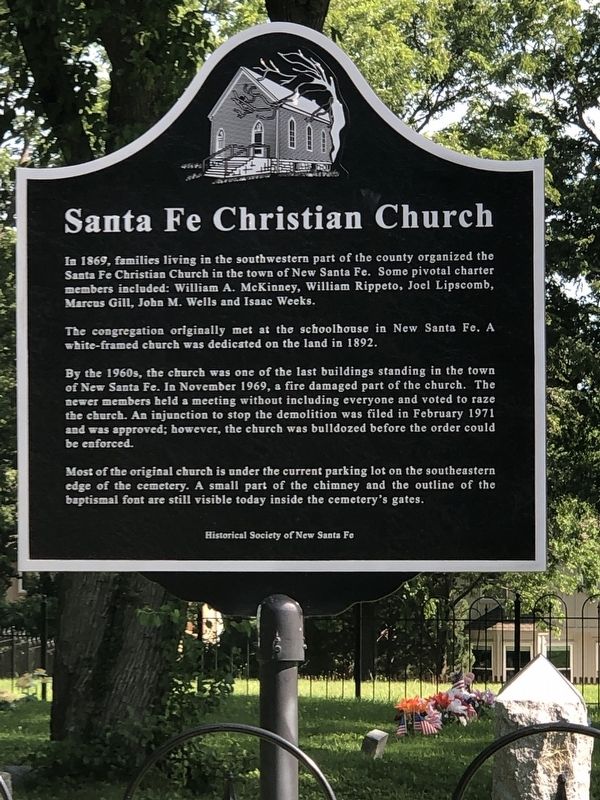
Photographed by Duane and Tracy Marsteller, June 30, 2024
1. Santa Fe Christian Church Marker
The congregation originally met at the schoolhouse in New Santa Fe. A white-framed church was dedicated on the land in 1892.
By the 1960s, the church was one of the last buildings standing in the town of New Santa Fe. In November 1969, a fire damaged part of the church. The newer members held a meeting without including everyone and voted to raze the church. An injunction to stop the demolition was filed in February 1971 and was approved; however, the church was bulldozed before the order could be enforced.
Most of the original church is under the current parking lot on the southeastern edge of the cemetery. A small part of the chimney and the outline of the baptismal font are still visible today inside the cemetery's gates.
Erected 2017 by Historical Society of New Santa Fe.
Topics. This historical marker is listed in this
this page online
Location. 38° 54.419′ N, 94° 36.339′ W. Marker is in Kansas City, Missouri, in Jackson County. It is in Verona Hills. It can be reached from West Santa Fe Trail west of Madison Avenue, on the right when traveling west. Marker is at New Santa Fe Cemetery. Touch for map. Marker is at or near this postal address: 902 W Santa Fe Trail, Kansas City MO 64145, United States of America. Touch for directions.

Regionally, this marker is in the American Midwest, in the Lewis & Clark Corridor, in the Corn Belt, and on the Santa Fe Trail Corridor. Globally, it is in North America, the Western Hemisphere, the Western World, and the Anglosphere. Historically, it finds itself in what was once the territory of the Mississippian Culture, the Louisiana Purchase, and the Antebellum South.
Other nearby markers. At least 8 other markers are within 3 miles of this marker, measured as the crow flies: New Santa Fe (a few steps from this marker); a different marker also named Trail Remnants (a few steps from this marker); a different marker also named New Santa Fe
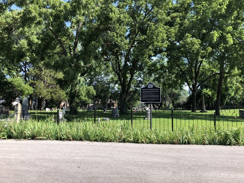
Photographed by Duane and Tracy Marsteller, June 30, 2024
2. Santa Fe Christian Church Marker
Other markers no longer nearby. Oregon and California National Historical Trails / Santa Fe National Historic Trail (was a few steps from this marker but has been confirmed missing); Trail Remnants (was a few steps from this marker but has been permanently removed).
Also see . . . A Tribute to a Pioneer Church on the Santa Fe Trail. [W]e have to ask ourselves - what happened to these country churches in midst of the development of Kansas City - or any city for that matter? In the case of the Santa Fe Christian Church, a lovely country church on Santa Fe Trail just east of State Line, this question turned into a battlefield of emotions when a small fire coupled with a new congregation led to the demise of a quaint church that meant the world to so many. (Diane Euston, “The New Santa Fe Trailer” blog, Sept. 27, 2017) (Submitted on July 19, 2024, by Duane and Tracy Marsteller of Murfreesboro, Tennessee.)
Credits. This page was last revised on July 19, 2024. It was originally submitted on July 19, 2024, by Duane and Tracy Marsteller of Murfreesboro, Tennessee. This page has been viewed 190 times since then and 24 times this year. Photos: 1, 2. submitted on July 19, 2024, by Duane and Tracy Marsteller of Murfreesboro, Tennessee.
