Amsterdam-Centrum , North Holland, Netherlands — Northwestern Europe
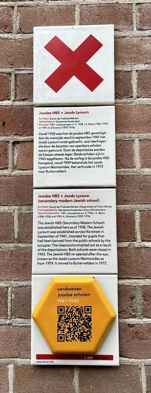
Joodse HBS + Joods Lyceum (secondary modern Jewish school)
Photographed by Andrew Ruppenstein, July 15, 2024
1. Joodse HBS + Joods Lyceum (secondary modern Jewish school) Marker

Architect Dienst der Publieke Werken
Opdrachtgever Gemeente Amsterdam
Bouwjaar 1901; verbouwingen nr. 2: 1938, J.S. Baars (1886-1956) en 1959, A. Oznowicz (1892-1976)
Vanaf 1938 was hier de joodse HBS gevestigd. Aan de overzijde werd in september 1941 het Joods Lyceum ondergebracht, voor leerlingen die door de bezetter van openbare scholen waren gestuurd. Door de deportaties werden de klassen steeds leger. Beide scholen zijn in 1943 opgeheven. Na de oorlog is de joodse HBS heropend, vanaf 1959 bekend als het Joods Lyceum Maimonides. Het verhuisde in 1972 naar Buitenveldert.
(secondary modern Jewish school)
Architect Dienst der Publieke Werken (Department of Public Works)
Commissioned by Gemeente Amsterdam (City of Amsterdam)
Year of construction 1901; renovations no. 2: 1938, J.S. Baars (1886-1956) and 1959, A. Oznowicz (1892-1976)
The Jewish HBS (Secondary Modern School) was established here as of 1938. The Jewish Lyceum was established across the street in September of 1941, intended for pupils that had been banned from the public schools by the occupier. The classrooms emptied out as a result of the deportations. Both schools were closed in 1943. The Jewish HBS re-opened after the war, known as the Joods Lyceum Maimonides as from 1959. It moved to Buitenveldert in 1972.
Erected by IAmsterdam.
Topics and series. This historical marker is listed in these topic lists: Education • Religion & Religious Structures. In addition, it is included in the IAmsterdam series list. A significant historical month for this entry is September 1941.
Location. 52° 21.677′ N, 4° 54.324′ E. Marker is in Amsterdam, Noord-Holland (North Holland). It is in Amsterdam-Centrum. It is on Voormalige Stadstimmertuin, on the left when traveling west. Touch for map.
this page online

Regionally, it is in Europe, the European Union, Atlantic Europe, the Benelux Low Countries, the Schengen Area, Western Europe, and the Western World. Historically, it finds itself in what was once the Holy Roman Empire.
Other nearby markers. At least 8 other markers are within walking distance of this marker: Joods Lyceum / Jewish Lyceum (within shouting distance of this marker); Wilhelmina Henriette Adrian ‘Jet Wiessing’ (within shouting distance of this marker); Lippmann, Rosenthal & Co. (LiRo Bank) (about 90 meters away, measured in a direct line); Monument van Joodse Erkentelijkheid / Monument of Jewish Recognition (about 180 meters away); De Joodse Invalide / The Jewish Invalid Society (about 210 meters away); De Joodsche Invalide (about 210 meters away); Christiaan Andriessen (approx. 0.3 kilometers away); F.M. Wibaut (approx. 0.3 kilometers away). Touch for a list and map of all markers in Amsterdam.
Also see . . . Confessionele Joodsche HBS (Verdwenen Joodse Scholen, in Dutch).
Photographed by Andrew Ruppenstein, July 15, 2024
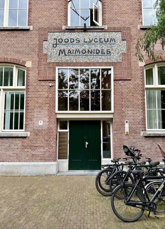
2. Joodse HBS + Joods Lyceum (secondary modern Jewish school) Marker - wide view
Photographed by Andrew Ruppenstein, July 15, 2024
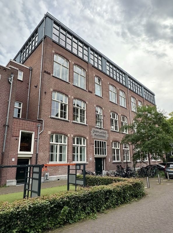
3. Joodse HBS + Joods Lyceum (secondary modern Jewish school) Marker - wider view
Credits. This page was last revised on July 20, 2024. It was originally submitted on July 20, 2024, by Andrew Ruppenstein of Lamorinda, California. This page has been viewed 314 times since then and 53 times this year. Photos: 1, 2, 3. submitted on July 20, 2024, by Andrew Ruppenstein of Lamorinda, California.
