Scipio Center in Cayuga County, New York — The American Northeast (Mid-Atlantic)
Cayuga County
Bolts Corners

Photographed by Mira Earls, July 19, 2024
1. Cayuga County Marker
Bolts Corners
1791 Squire Gilbert,
Capt. Alanson Tracy 1793
an early commercial center
with stores and mills along
nearby Salmon Creek
Erected by Town of Scipio.
Topics. This historical marker is listed in this topic list: Settlements & Settlers.
Location. 42° 45.83′ N, 76° 34.765′ W. Marker is in Scipio Center, New York, in Cayuga County. It is at the intersection of Black Street and Sherwood Road (County Route 42B) when traveling north on Black Street. Touch for map. Marker is at or near this postal address: 3019 Black St, Scipio Center NY 13147, United States of America. Touch for directions.

Regionally, this marker is in Upstate New York, specifically in Central New York, and in the Syracuse Metropolitan Area. It is also in the American Northeast and in the Mid-Atlantic. Globally, it is in North America, the Western Hemisphere, the Western World, and the Anglosphere. Historically, it finds itself in what was once the Haudenosaunee (Iroquois) Confederacy, New Netherland, and one of the original Thirteen Colonies.
Other nearby markers. At
this page online
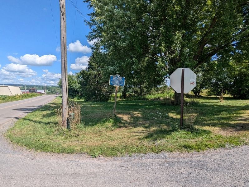
Photographed by Mira Earls, July 19, 2024
2. Cayuga County Marker
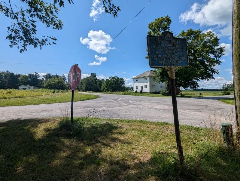
Photographed by Mira Earls, July 19, 2024
3. Cayuga County Marker
Credits. This page was last revised on July 21, 2024. It was originally submitted on July 20, 2024, by Mira Earls of Cortland, New York. This page has been viewed 184 times since then and 15 times this year. Photos: 1, 2, 3. submitted on July 20, 2024, by Mira Earls of Cortland, New York. • Michael Herrick was the editor who published this page.
