Sibbe in Valkenburg in Valkenburg aan de Geul, Limburg, Netherlands — Northwestern Europe
H. Roza van Lima kerk
⎯⎯⎯
St. Rose of Lima church
| — | Rijksmonument | — |
Photographed by Andrew Ruppenstein, July 13, 2024
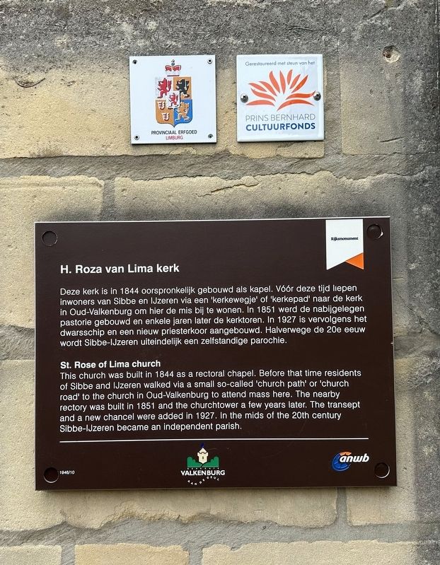
1. H. Roza van Lima kerk / St. Rose of Lima church Marker

Deze kerk is in 1844 oorspronkelijk gebouwd als kapel. Vóór deze tijd liepen inwoners van Sibbe en IJzeren via een 'kerkewegje' of 'kerkepad' naar de kerk in Oud-Valkenburg om hier de mis bij te wonen. In 1851 werd de nabijgelegen pastorie gebouwd en enkele jaren later de kerktoren. In 1927 is vervolgens het. dwarsschip en een nieuw priesterkoor aangebouwd. Halverwege de 20e eeuw wordt Sibbe-IJzeren uiteindelijk een zelfstandige parochie.
This church was built in 1844 as a rectoral chapel. Before that time residents of Sibbe and IJzeren walked via a small so-called 'church path' or 'church road' to the church in Oud-Valkenburg to attend mass here. The nearby rectory was built in 1851 and the churchtower a few years later. The transept and a new chancel were added in 1927. In the mids of the 20th century Sibbe-IJzeren became an independent parish.
Erected by Gemeente Valkenburg aan de Geul, ANWB. (Marker Number 1946/10.)
Topics. This historical marker is listed in this topic list: Religion & Religious Structures. A significant historical year for this entry is 1844.
Location. 50° 50.591′ N,
this page online

Regionally, it is in Europe, the European Union, Atlantic Europe, the Benelux Low Countries, the Schengen Area, Western Europe, and the Western World. Historically, it finds itself in what was once the Roman Empire and specifically also the Holy Roman Empire.
Other nearby markers. At least 8 other markers are within 3 kilometers of this marker, measured as the crow flies: 466th Bomb Group Plane Crash (approx. 0.8 kilometers away); Valkenburg Holocaust Memorial (approx. 2 kilometers away); Strijd om de bevrijding / Battle for Liberation (approx. 2.1 kilometers away); 19e eeuws klooster / 19th Century Convent/Monastery (approx. 2.1 kilometers away); Karel Cahn (approx. 2.1 kilometers away); Louis Cahn (approx. 2.1 kilometers away); Vilt Bomber Crash Memorial (approx. 2.1 kilometers away); Duitse invasie - May 10, 1940 - German Invasion
Photographed by Andrew Ruppenstein, July 13, 2024
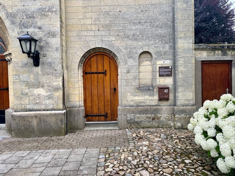
2. H. Roza van Lima kerk / St. Rose of Lima church Marker - wide view
Photographed by Andrew Ruppenstein, July 13, 2024
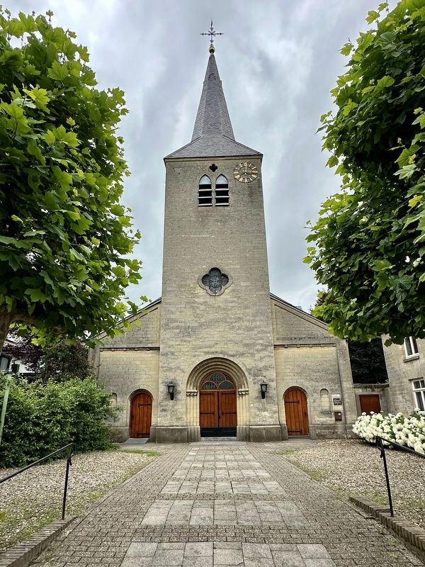
3. H. Roza van Lima kerk / St. Rose of Lima church and Marker
Credits. This page was last revised on July 20, 2024. It was originally submitted on July 20, 2024, by Andrew Ruppenstein of Lamorinda, California. This page has been viewed 115 times since then and 8 times this year. Photos: 1, 2, 3. submitted on July 20, 2024, by Andrew Ruppenstein of Lamorinda, California.
