
Colorado Springs in El Paso County, Colorado — The American Mountains (Southwest)
TACP
Photographed by Mark Parker, July 4, 2024
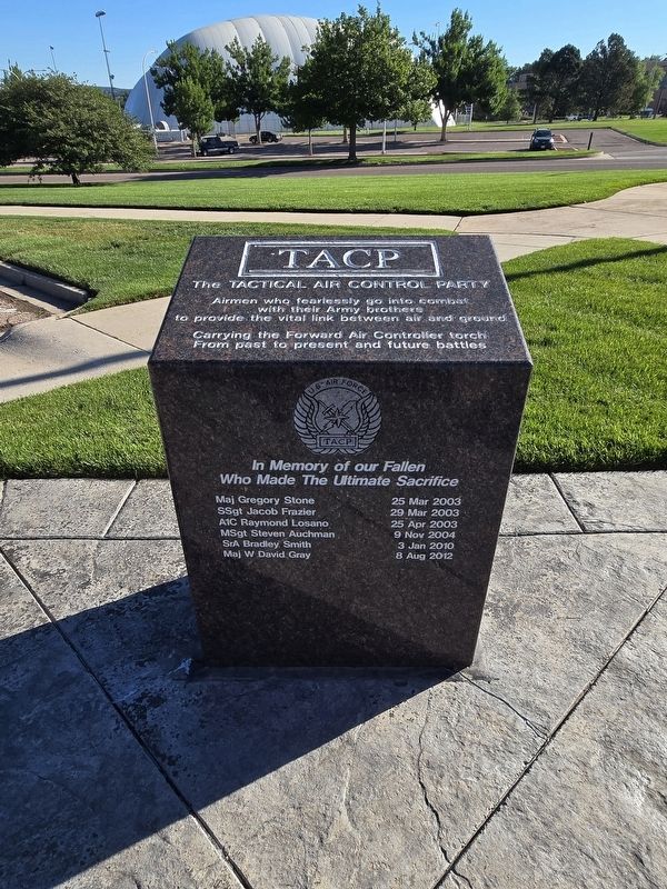
1. TACP Marker
(top side)
The Tactical Air Control Party
Airmen who fearlessly go into combat with their Army brothers to provide the vital link between air and ground
Carrying the Forward Air Controller torch From past to present and future battles
(facing)
In Memory of our Fallen Who Made The Ultimate Sacrifice
Maj Gregory Stone 25 Mar 2003
SSgt Jacob Frazier 29 Mar 2003
A1C Raymond Losano 25 Apr 2003
MSgt Steven Auchman 9 Nov 2004
SrA Bradley Smith 3 Jan 2010
Maj W David Gray 8 Aug 2012
Topics. This memorial is listed in these topic lists: Air & Space • War, 2nd Iraq • War, Afghanistan.
Location. 38° 49.646′ N, 104° 47.778′ W. Memorial is in Colorado Springs, Colorado, in El Paso County. It can be reached from Memorial Drive, on the left when traveling north. Veterans Memorial is at Memorial Park. Entrance is on the east side from South Union Boulevard. Touch for map. Memorial is at or near this postal address: Memorial Drive, Colorado Springs CO 80910, United States of America. Touch for directions.

Regionally, this memorial is in Colorado’s
this page online
Other nearby markers. At least 8 other markers are within walking distance of this marker: Misty (here, next to this marker); Forward Air Controllers Monument (a few steps from this marker); In Honor of Those from El Paso County (a few steps from this marker); All Gave Some Some Gave All (a few steps from this marker); The 89th Infantry Division (1942-1945) (a few steps from this marker); In Pursuit of Peace (A La Poursuite de la Paix) (within shouting distance of this marker); The Freedom Memorial (within shouting distance of this marker); 71st Infantry Division (within shouting distance of this marker). Touch for a list and map of all markers in Colorado Springs.
More about this memorial. To reach the marker, follow Memorial Drive around monuments until first large parking area to the left. This monument is NNW of the center Veterans Memorial by the parking
Photographed by Mark Parker, July 4, 2024
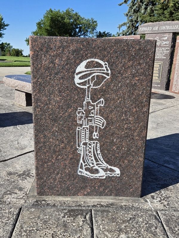
2. TACP Marker (rear side)
Photographed by Mark Parker, July 4, 2024
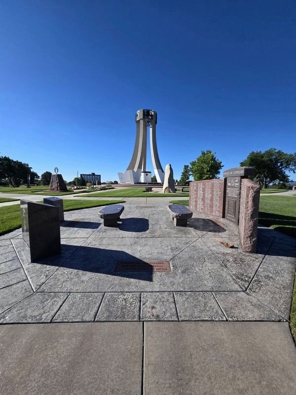
3. Wide view TACP Marker area
TACP marker is the front left block by the parking lot. Location is NNW of the center Veterans Memorial which is in the background
Credits. This page was last revised on July 20, 2024. It was originally submitted on July 20, 2024, by Mark Parker of Hickory, North Carolina. This page has been viewed 179 times since then and 22 times this year. Photos: 1, 2, 3. submitted on July 20, 2024, by Mark Parker of Hickory, North Carolina. • Andrew Ruppenstein was the editor who published this page.
