Fredericksburg, Virginia — The American South (Mid-Atlantic)
Tobacco and Iron
Photographed by Kevin W., October 8, 2018
1. Tobacco and Iron Marker
—Johann David Schoepf, a German travelling in America in 1783-84
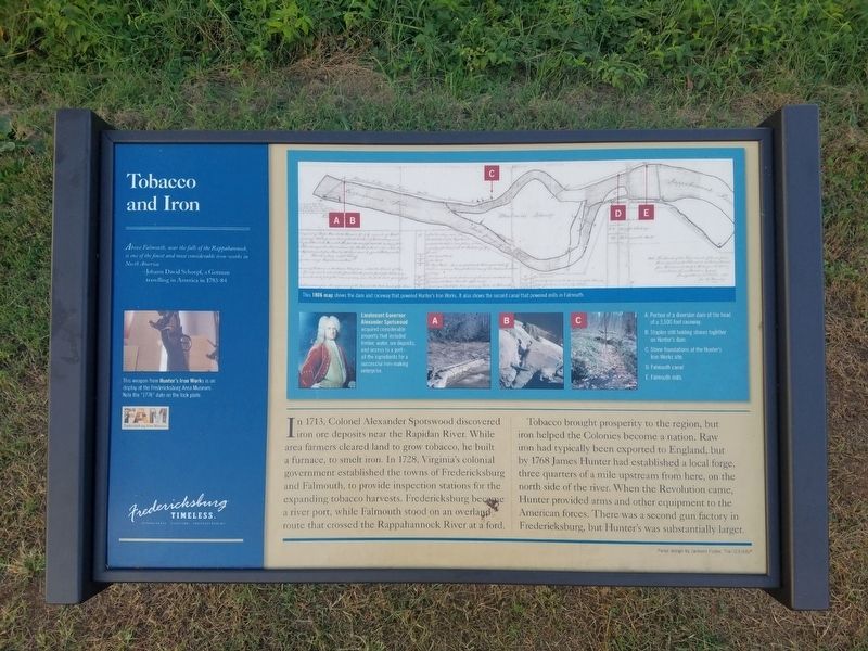
In 1713, Colonel Alexander Spotswood discovered iron ore deposits near the Rapidan River. While area farmers cleared land to grow tobacco, he built a furnace, to smelt iron. In 1728, Virginia's colonial government established the towns of Fredericksburg and Falmouth, to provide inspection stations for the expanding tobacco harvests. Fredericksburg became a river port, while Falmouth stood on an overland route that crossed the Rappahannock River at a ford.
Tobacco brought prosperity to the region, but iron helped the Colonies become a nation. Raw iron had typically been exported to England, but by 1768 James Hunter had established a local forge three quarters of a mile upstream from here, on the north side of the river. When the Revolution came, Hunter provided arms and other equipment to the American forces. There was a second gun factory in Fredericksburg, but Hunter's was substantially larger.
Erected by Fredericksburg Area
this page online
Topics. This historical marker is listed in these topic lists: Industry & Commerce • Settlements & Settlers. A significant historical year for this entry is 1713.
Location. 38° 19.167′ N, 77° 28.399′ W. Marker is in Fredericksburg, Virginia. It is at the intersection of Riverside Drive and Woodford Street, on the right when traveling west on Riverside Drive. Touch for map. Marker is in this post office area: Fredericksburg VA 22401, United States of America. Touch for directions.

Regionally, this marker is in the Washington Metropolitan Area and in Northern Virginia. It is also in the American South and specifically in the Upper South. Globally, it is in North America, the Western Hemisphere, the Western World, and the Anglosphere. Historically, it finds itself in what was once the territory of the Mississippian Culture, one of the original Thirteen Colonies, one of the Confederate States of America, and the Antebellum South.
Other nearby markers. At least 8 other markers are within walking distance of this marker: The Falmouth Crossing (here, next to this marker); Harnessing The River's Power (about 500
Photographed by Kevin W., October 8, 2018
2. Closeup photo from the Tobacco and Iron Marker
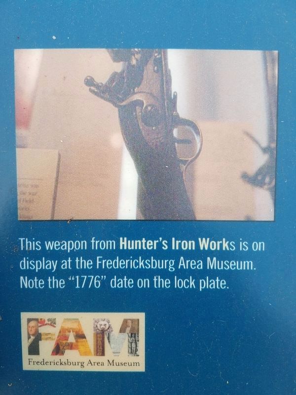
This weapon from Hunter's Iron Works is on display at the Fredericksburg Area Museum. Note the "1776” date on the lock plate.
Another marker is no longer nearby. A Walking Tour of Fredericksburg’s Historic Old Mill District (was about 600 feet away but has been confirmed missing).

Photographed by Kevin W., October 8, 2018
3. Closeup photo from the Tobacco and Iron Marker
Lieutenant Governor Alexander Spotswood acquired considerable property that included timber, water, ore deposits, and access to a port - all the ingredients for a successful ironmaking enterprise.

Photographed by Kevin W., October 8, 2018
4. Closeup photo from the Tobacco and Iron Marker
This shows the legend for other photographs on the marker.
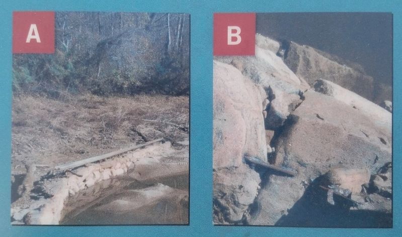
A. Portion of a diversion dam at the head of a 3,500 foot raceway.
B. Staples still holding stones together on Hunter's dam.
C. Stone foundations at the Hunter's Iron Works site.
D. Falmouth canal.
E. Falmouth mills.
A. Portion of a diversion dam at the head of a 3,500 foot raceway.
B. Staples still holding stones together on Hunter's dam.
C. Stone foundations at the Hunter's Iron Works site.
D. Falmouth canal.
E. Falmouth mills.
Photographed by Kevin W., October 8, 2018
5. Closeup photo from the Tobacco and Iron Marker
Photographed by Kevin W., October 8, 2018
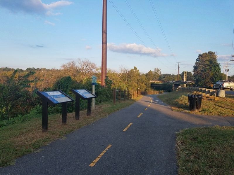
6. Tobacco and Iron and the Falmouth Crossing Markers
Credits. This page was last revised on July 20, 2024. It was originally submitted on July 20, 2024, by Kevin W. of Stafford, Virginia. This page has been viewed 212 times since then and 25 times this year. Photos: 1, 2, 3, 4, 5, 6. submitted on July 20, 2024, by Kevin W. of Stafford, Virginia.
