North Bend in Dodge County, Nebraska — The American Midwest (Upper Plains)
Datel Building
1915-Present
| — | Old Settlers Heritage Trail | — |
Photographed by Mark Parker, June 26, 2024
1. Datel Building Marker
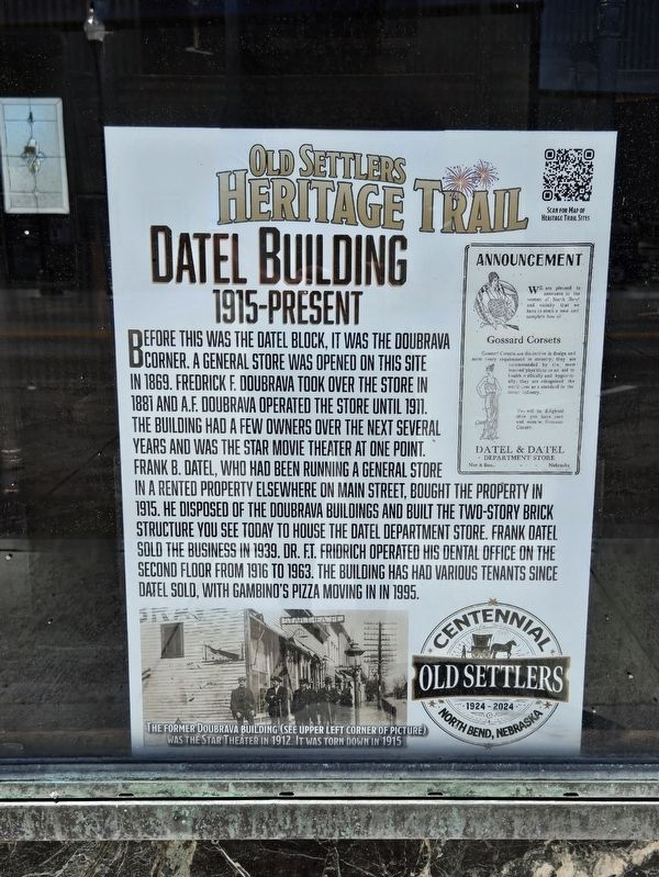
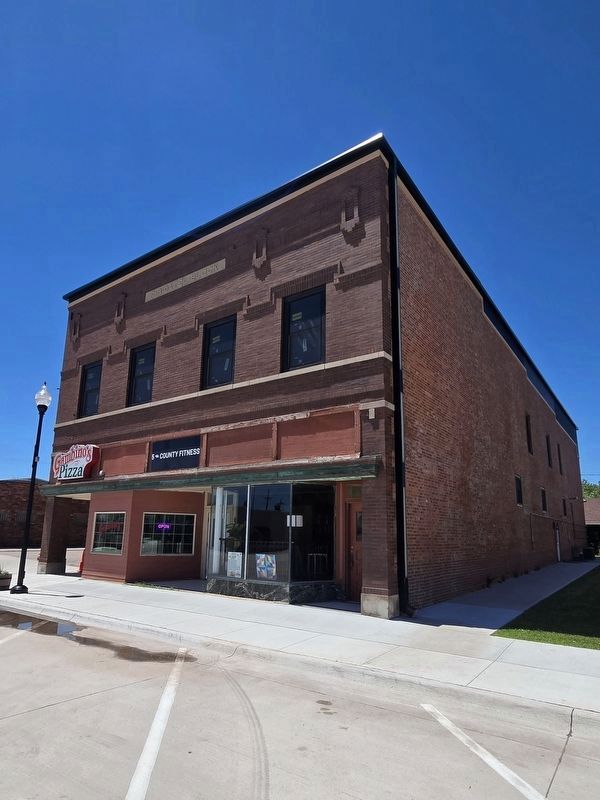
Before this was the Datel Block, it was the Doubrava corner. A general store was opened on this site in 1869. Fredrick F. Doubrava took over the store in 1881 and A.F. Doubrava operated the store until 1911. The building had a few owners over the next several years and was the Star movie theater at one point. Frank D. Datel, who had been running a general store in a rented property elsewhere on Main Street, bought the property in 1915. He disposed of the Doubrava buildings and built the two-story brick structure you see today to house the Datel Department store. Frank Datel sold the business in 1939. Dr. F.T. Fridrich operated his dental office on the second floor from 1916 to 1963. The building has had various tenants since Datel sold, with Gambino's Pizza moving in in 1995. Caption The former Doubrava Building (see upper left corner of picture) was the Star Theater in 1912. It was torn down in 1915.
Erected 2024.
Topics. This historical marker is listed in these topic lists: Industry & Commerce • Settlements & Settlers. A significant historical year for this entry is 1915.
Location. 41° 27.779′ N, 96° 46.814′ W.
this page online

Regionally, this marker is in Eastern Nebraska and in Greater Omaha. It is also in the American Midwest, in the Corn Belt, and on the prairies. Globally, it is in North America, the Western Hemisphere, the Western World, and the Anglosphere. Historically, it finds itself in what was once the Louisiana Purchase.
Other nearby markers. At least 8 other markers are within 9 miles of this marker, measured as the crow flies: Farnham Building (a few steps from this marker); Thomsen's Corner (a few steps from this marker); Hyatt / Lee Building (a few steps from this marker); Downtown Fire: Dec. 28, 2009 (within shouting distance of this marker); Jansen Hardware (within shouting distance of this marker); Memorial Park (about 600 feet away, measured in a direct line); Mormon Trail 1847 / Military Road 1856
Photographed by Mark Parker, June 26, 2024
2. Datel Building and Marker
Gambino's Pizza, mentioned in the marker text, remains at the site.
Credits. This page was last revised on July 22, 2024. It was originally submitted on July 20, 2024, by Mark Parker of Hickory, North Carolina. This page has been viewed 159 times since then and 22 times this year. Photos: 1, 2. submitted on July 20, 2024, by Mark Parker of Hickory, North Carolina. • J. Makali Bruton was the editor who published this page.
