Tybee Island in Chatham County, Georgia — The American South (South Atlantic)
Alger Avenue Neighborhood
Tybee Island Black History Trail
Photographed by Brandon D Cross
1. Alger Avenue Neighborhood Marker
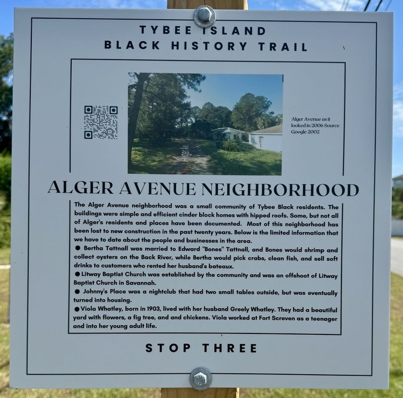
• Bertha Tattnall was married to Edward "Bones" Tattnall, and Bones would shrimp and collect oysters on the Back River, while Bertha would pick crabs, clean fish, and sell soft drinks to customers who rented her husband's bateaux.
• Litway Baptist Church was established by the community and was an offshoot of Litway Baptist Church in Savannah.
• Johnny's Place was a nightclub that had two small tables outside, but was eventually turned into housing.
• Viola Whatley, born in 1903, lived with her husband Greely Whatley. They had a beautiful yard with flowers, a fig tree, and chickens. Viola worked at Fort Screven as a teenager and into her young adult life.
(caption) Alger Avenue as it looked in 2006 Source Google 2002
Erected 2024
this page online
Topics. This historical marker is listed in this topic list: African Americans.
Location. 32° 1.258′ N, 80° 50.863′ W. Marker is on Tybee Island, Georgia, in Chatham County. It is at the intersection of Alger Avenue and Van Horne Avenue, on the right when traveling west on Alger Avenue. Touch for map. Marker is at or near this postal address: 1 Alger Avenue, Tybee Island GA 31328, United States of America. Touch for directions.

Regionally, this marker is on the Coastal Plain, on the Georgia Coast and the Golden Isles, in Greater Savannah, and on the Sea Islands. It is also in the American South, specifically in the Deep South, and on the Eastern Seaboard. Globally, it is in the North Atlantic Region, North America, the Western Hemisphere, the Western World, and the Anglosphere. Historically, it finds itself in what was once New Spain, the territory of the Mississippian Culture, one of the original Thirteen Colonies, one of the Confederate States of America, and the Antebellum South.
Other nearby markers. At
Photographed by Brandon D Cross
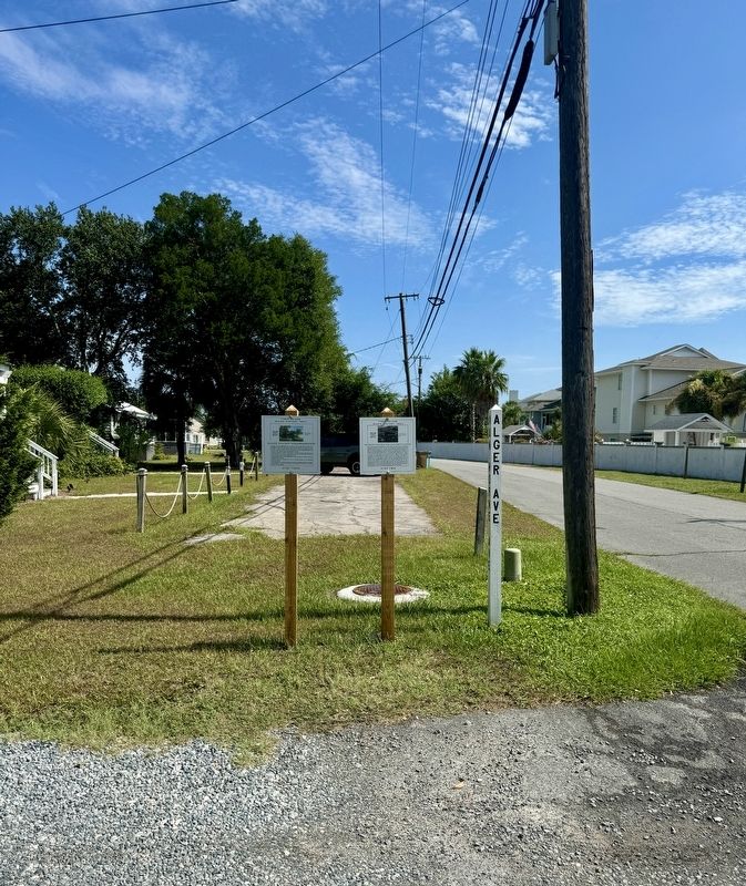
2. Alger Avenue Neighborhood Marker (left)
Also see . . . Tybee Black History Trail markers dedicated. ‘We’re learning about the people who lived here’. (Submitted on July 20, 2024, by Brandon D Cross of Flagler Beach, Florida.)
Credits. This page was last revised on July 21, 2024. It was originally submitted on July 20, 2024, by Brandon D Cross of Flagler Beach, Florida. This page has been viewed 362 times since then and 38 times this year. Photos: 1, 2. submitted on July 20, 2024, by Brandon D Cross of Flagler Beach, Florida. • Bernard Fisher was the editor who published this page.
