Barrington in Bristol County, Rhode Island — The American Northeast (New England)
Drownville
Harvest from the Land and Sea
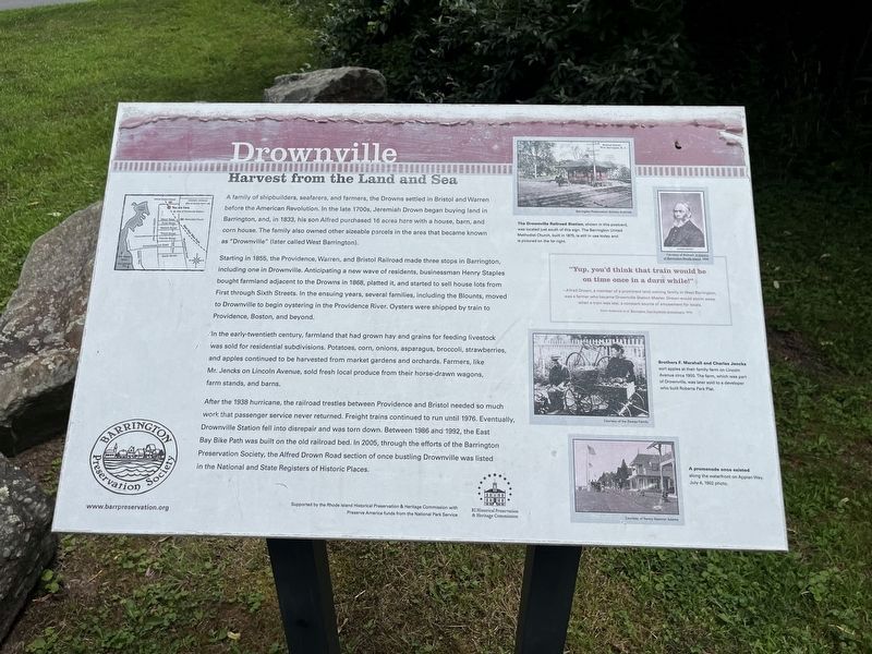
A family of shipbuilders, seafarers, and farmers, the Drowns settled in Bristol and Warren before the American Revolution. In the late 1700s, Jeremiah Drown began buying land in Barrington, and, in 1833, his son Alfred purchased 16 acres here with a house, barn, and corn house. The family also owned other sizeable parcels in the area that became known as "Drownsville" (later called West Barrington).
Starting in 1855, the Providence, Warren, and Bristol Railroad made three stops in Barrington, including one in Drownville. Anticipating a new wave of residents, businessman Henry Staples bought farmland adjacent to the downs in 1868, platted it, and started to sell house lots from First through Sixth Streets. In the ensuing years, several families, including the Blounts, moved to Drownville to begin oystering in the Providence River. Oysters were shipped by train to Providence, Boston, and beyond.
In the early-twentieth century, farmland that had grown hay and grains for feeding livestock was sold for residential subdivisions. Potatoes, corn, onions, asparagus, broccoli, strawberries, and apples continued to be harvested
this page online
After the 1938 hurricane, the railroad trestles between Providence and Bristol needed so much work that passenger service never returned. Freight trains continued to run until 1976. Eventually, Drownville Station fell into disrepair and was torn down. Between 1986 and 1992, the East Bay Bike Path was built on the old railroad bed. In 2005, through the efforts of the Barrington Preservation Society, the Alfred Drown Road section of once bustling Drownville was listed in the National and State Registers of Historic Places.
[Captions:]
The Drownville Railroad Station, shown in this postcard was located just south of this sign. The Barrington United Methodist Church, built in 1875, is still in use today and is pictured on the far right.
"Yup, you'd think that train would be on time once in a durn while!"
—Alfred Drown, a member of a prominent land-owning family in West Barrington, was a farmer who became Drownville Station Manager. Drown would storm away when a train was late, a constant source of amusement for locals.
From Anderson et al, Barrington Two-Hundredth Anniversary, 1970.
Brothers F. Marshall and Charles Jencks sorted apples at their family farm on Lincoln Avenue since 1900. This farm, which was part of Drownville, was later sold to a developer who built Roberta Parck Plat.
A promenade once existed along the waterfront on Appian Way. July 4, 1902 photo.
Erected by Barrington
Topics. This historical marker is listed in these topic lists: Architecture • Industry & Commerce • Railroads & Streetcars • Settlements & Settlers. A significant historical date for this entry is July 4, 1902.
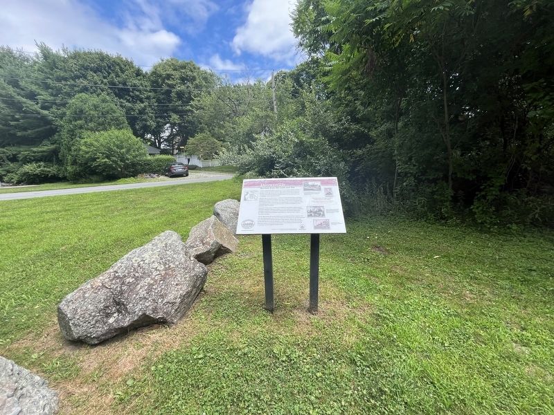
Location. 41° 44.759′ N, 71° 20.587′ W. Marker is in Barrington, Rhode Island, in Bristol County. It is at the intersection of East Bay Bike Path and Alfred Drowne Road, on the right when traveling north on East Bay Bike Path. Touch for map. Marker is at or near this postal address: 11 Alfred Drowne Rd, Barrington RI 02806, United States of America. Touch for directions.

Regionally, this marker is in Greater Providence and on Narragansett Bay. It is also in the American Northeast, in New England, and on the Eastern Seaboard. Globally, it is in the North Atlantic Region, North America, the Western Hemisphere, the Western World, and the Anglosphere. Historically, it finds itself in what was once one of the original Thirteen Colonies.
Other nearby markers. At least 8 other markers are within 2 miles of this marker, measured as the crow flies: A different marker also named Drownville (about 400 feet away, measured in a direct line); Bay Spring (approx. 0.2 miles away); Haines Park (approx. 0.6 miles away); Little Echo (approx. 0.6 miles away); Welcome to Sowams Woods (approx. one mile away); Crescent Park Looff Carousel (approx. 1.1 miles away); World War II Memorial (approx. 1.3 miles away); Brickyard Pond (approx. 1.3 miles away). Touch for a list and map of all markers in Barrington.
Credits. This page was last revised on July 21, 2024. It was originally submitted on July 21, 2024, by Devry Becker Jones of Washington, District of Columbia. This page has been viewed 631 times since then and 78 times this year. Photos: 1, 2. submitted on July 21, 2024, by Devry Becker Jones of Washington, District of Columbia.
