Bakersfield in Kern County, California — The American West (Pacific Coastal)
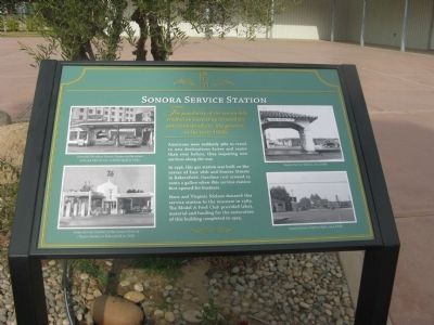
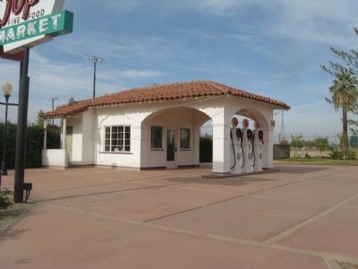
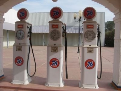
Sonora Service Station
The popularity of the automobile created an increasing demand for petroleum products, like gasoline, in the early 1900s.
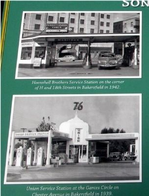
Americans were suddenly able to travel to new destinations faster and easier than ever before, thus requiring new services along the way.
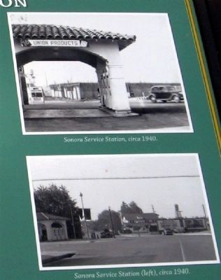
In 1936, this gas station was built on the corner of East 18th and Sonora Streets in Bakersfield. Gasoline cost around 15 cents a gallon when this service station first opened for business.
Hans and Virginia Nielsen donated this service station to the museum in 1989. The Model A Ford Club provided labor, material and funding for the restoration of this building completed in 1993.
Erected by Kern County Museum.
Topics. This historical marker is listed in these topic lists: Industry & Commerce • Notable Buildings. A significant historical year for this entry is 1936.
Location. 35° 23.641′ N, 119° 1.329′ W. Marker is in Bakersfield, California, in Kern County. Marker can be reached from Chester Avenue. Marker is located at the Transportation Courtyard section of Pioneer Village at the Kern County Museum. Touch for map. Marker is at or near this postal address: 3801 Chester Avenue, Bakersfield CA 93301, United States of America. Touch for directions.
Other nearby markers. At least 8 other markers are within walking distance of this marker. Hospital (within shouting distance of this marker); Standard End Pumping Unit (about 300 feet away, measured in a direct line); Cable Tool Drilling Rig (about 300 feet away); Sentry Statues and Gate Posts (about 300 feet away); B.H.S. Water Tower (about 300 feet away); Dust Bowl Housing Units (about 300 feet away); Cook Wagon (about 400 feet away); Havilah Courier (about 400 feet away). Touch for a list and map of all markers in Bakersfield.
Credits. This page was last revised on October 25, 2023. It was originally submitted on December 6, 2009, by Syd Whittle of Mesa, Arizona. This page has been viewed 968 times since then and 28 times this year. Photos: 1, 2, 3, 4, 5. submitted on December 6, 2009, by Syd Whittle of Mesa, Arizona.
