Nebraska City in Otoe County, Nebraska — The American Midwest (Upper Plains)
Official Oregon Trail Marker

Photographed by Mark Hilton, July 11, 2024
1. Official Oregon Trail Marker Marker
From the Steamboat Landing thousands started westward to Pike's Peak, Salt Lake, California and Oregon.
Topics and series. This historical marker is listed in this topic list: Settlements & Settlers. In addition, it is included in the Oregon Trail, and the Overland Trail series lists. A significant historical year for this entry is 1849.
Location. 40° 40.586′ N, 95° 51.071′ W. Marker is in Nebraska City, Nebraska, in Otoe County. It is at the intersection of South 5th Street and Central Avenue, on the left when traveling south on South 5th Street. Touch for map. Marker is at or near this postal address: 423 Central Ave, Nebraska City NE 68410, United States of America. Touch for directions.

Regionally, this marker is in Eastern Nebraska. It is also in the American Midwest, in the Lewis & Clark Corridor, in the Corn Belt, and on the prairies. Globally, it is in North America, the Western Hemisphere, the Western World, and the Anglosphere. Historically, it finds itself in what was once the Louisiana Purchase.
Other nearby markers. At
this page online
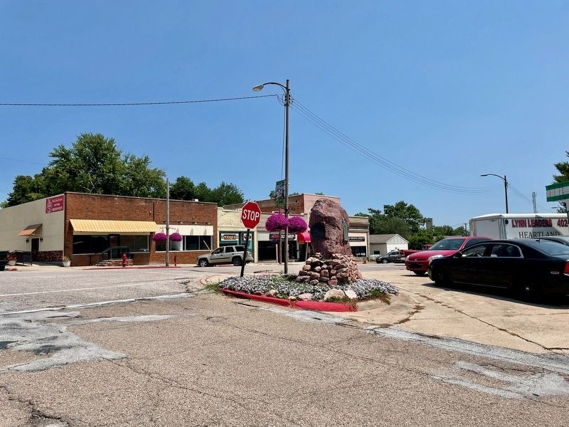
Photographed by Mark Hilton, July 11, 2024
2. Official Oregon Trail Marker Marker

Photographed by Mark Hilton, July 11, 2024
3. Official Oregon Trail Marker Marker
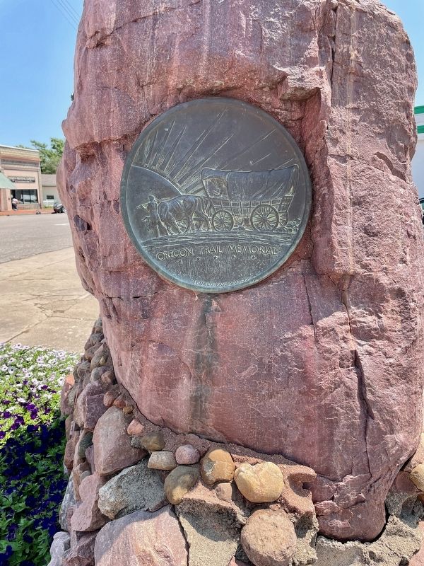
Photographed by Mark Hilton, July 11, 2024
4. Oregon Trail Memorial on east side.
Sculptors: J.E. & L.G. Fraser

Courtesy of the Union Pacific Railroad, May 23, 2013
5. Location of the Overland Branch of the Oregon Trail at Nebraska City. (arrow)
Credits. This page was last revised on July 21, 2024. It was originally submitted on July 21, 2024, by Mark Hilton of Montgomery, Alabama. This page has been viewed 455 times since then and 49 times this year. Photos: 1, 2, 3, 4, 5. submitted on July 21, 2024, by Mark Hilton of Montgomery, Alabama.
