Near York in York County, Nebraska — The American Midwest (Upper Plains)
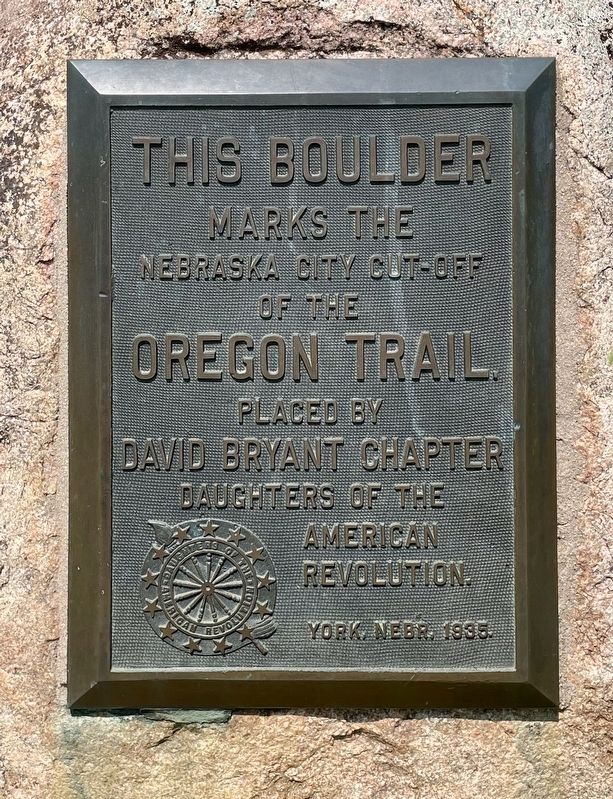
Nebraska City Cut-Off of the Oregon Trail
Photographed by Mark Hilton, July 11, 2024
1. Nebraska City Cut-Off of the Oregon Trail Marker
Erected 1935 by David Bryant Chapter Daughters of the American Revolution. York, Nebr. .
Topics and series. This historical marker is listed in this topic list: Notable Places. In addition, it is included in the Daughters of the American Revolution (DAR), and the Oregon Trail series lists.
Location. 40° 48.97′ N, 97° 27.824′ W. Marker is near York, Nebraska, in York County. It is on Road S 0.4 miles south of Interstate 80, on the right when traveling south. Touch for map. Marker is in this post office area: York NE 68467, United States of America. Touch for directions.

Regionally, this marker is in Eastern Nebraska. It is also in the American Midwest, in the Corn Belt, and on the prairies. Globally, it is in North America, the Western Hemisphere, the Western World, and the Anglosphere. Historically, it finds itself in what was once the Louisiana Purchase.
Other nearby markers. At least 8 other markers are within 10 miles of this marker, measured as the crow flies: The Purple Heart (approx.
this page online
Regarding Nebraska City Cut-Off of the Oregon Trail. The Oregon Trail was not one single path, but rather a multitude of variant wagon roads. Many departed the more heavily used trail to avoid getting stuck in deep mud furrows and to find suitable grazing grass for their livestock. As westward expansion continued, new routes became part of the Oregon Trail system, such as the Nebraska City/Fort Kearney Cut-off, the Oxbow trail, and the Oketo cut-off.
Photographed by Mark Hilton, July 11, 2024
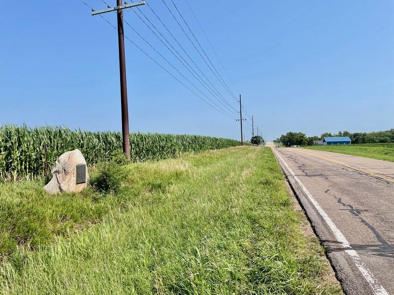
2. View from marker looking North towards I-80 exit 360.
Photographed by Mark Hilton, July 11, 2024
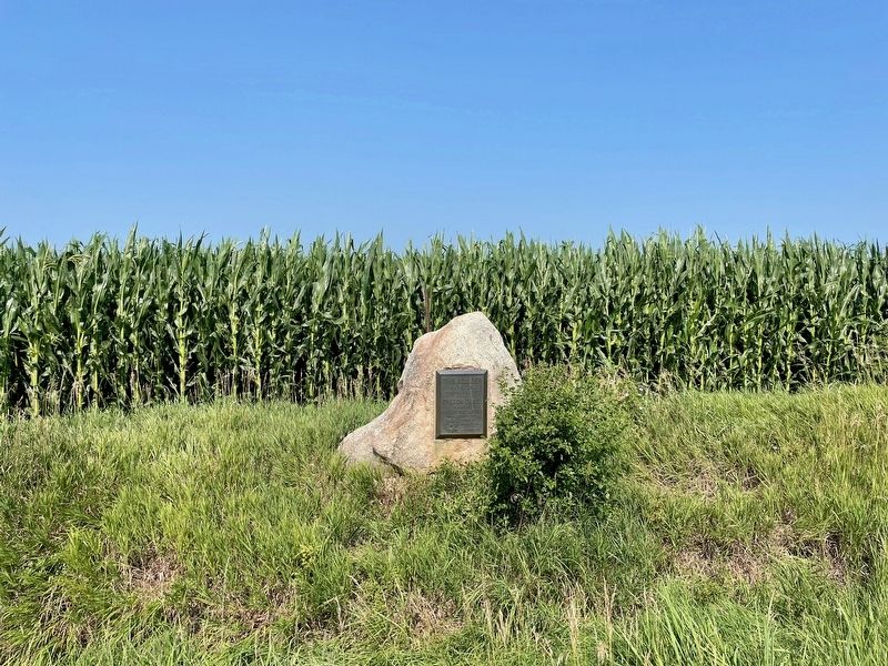
3. Nebraska City Cut-Off of the Oregon Trail Marker
Credits. This page was last revised on July 21, 2024. It was originally submitted on July 21, 2024, by Mark Hilton of Montgomery, Alabama. This page has been viewed 456 times since then and 49 times this year. Photos: 1, 2, 3. submitted on July 21, 2024, by Mark Hilton of Montgomery, Alabama.
