Rulo in Richardson County, Nebraska — The American Midwest (Upper Plains)
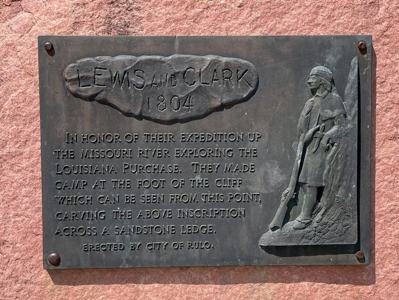
Lewis and Clark
1804
Photographed by Mark Hilton, July 11, 2024
1. Lewis and Clark Marker
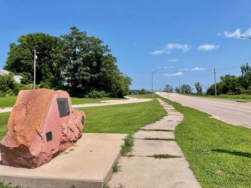
In honor of their expedition up the Missouri River exploring the Louisiana Purchase. They made camp at the foot of the cliff whịch can be seen from this point, carving the above inscription across a sandstone ledge.
Erected 1939 by City of Rulo.
Topics and series. This historical marker is listed in this topic list: Notable Places. In addition, it is included in the Lewis & Clark Expedition series list.
Location. 40° 3.124′ N, 95° 25.586′ W. Marker is in Rulo, Nebraska, in Richardson County. It is at the intersection of Stutsman Street (Route 159) and 1st Street when traveling west on Stutsman Street. Touch for map. Marker is in this post office area: Rulo NE 68431, United States of America. Touch for directions.

Regionally, this marker is in Eastern Nebraska. It is also in the American Midwest, in the Lewis & Clark Corridor, in the Corn Belt, and on the prairies. Globally, it is in North America, the Western Hemisphere, the Western World, and the Anglosphere. Historically, it finds itself in what was once the Louisiana Purchase.
Other nearby markers. At
this page online
Photographed by Mark Hilton, July 11, 2024
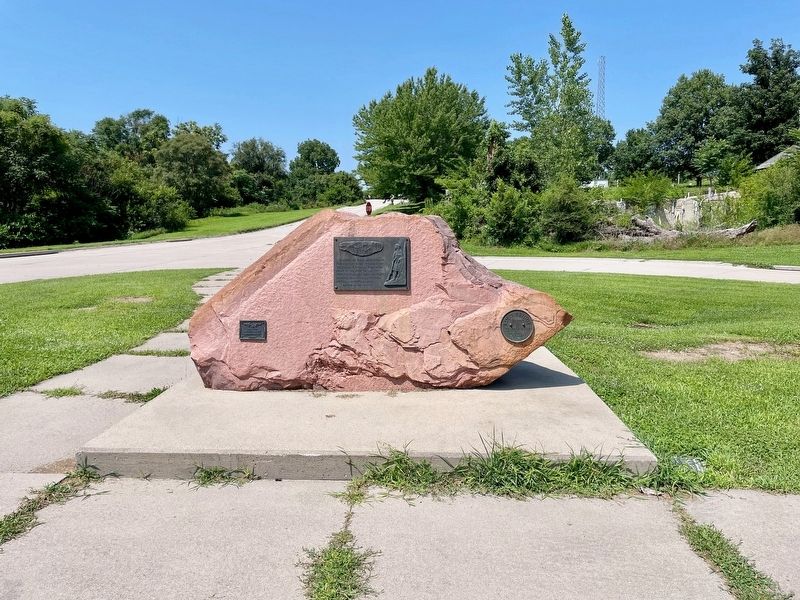
2. Lewis and Clark Marker
Photographed by Mark Hilton, July 11, 2024
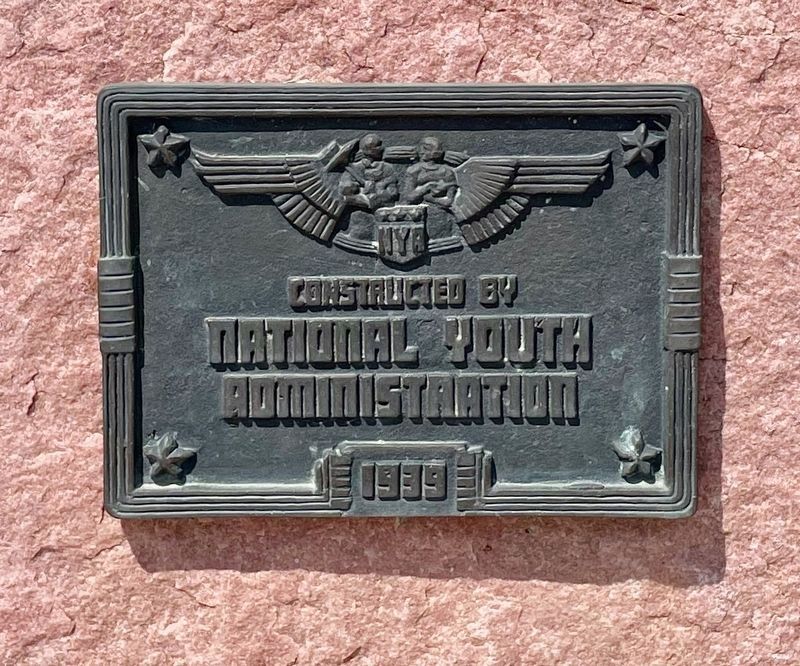
3. Additional marker about the National Youth Administration that constructed this marker.
Photographed by Mark Hilton, July 11, 2024
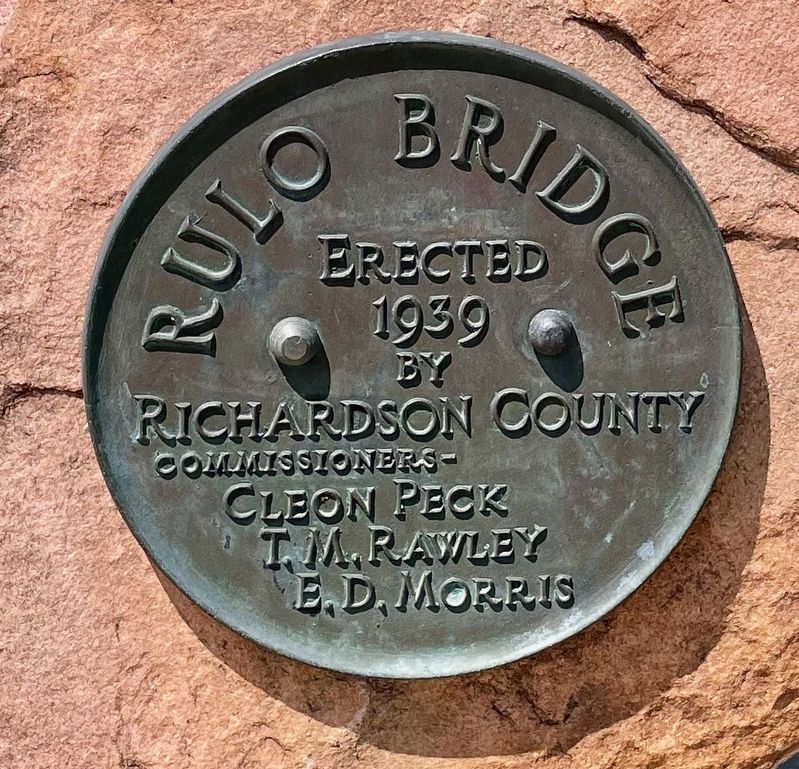
4. Unrelated marker about the nearby Rulo Bridge over the Missouri River.
Photographed by Mark Hilton, July 11, 2024
5. View of bridge over the Missouri River that Lewis & Clark traveled.
Credits. This page was last revised on July 21, 2024. It was originally submitted on July 21, 2024, by Mark Hilton of Montgomery, Alabama. This page has been viewed 290 times since then and 46 times this year. Photos: 1, 2, 3, 4, 5. submitted on July 21, 2024, by Mark Hilton of Montgomery, Alabama.
