North Bend in Dodge County, Nebraska — The American Midwest (Upper Plains)
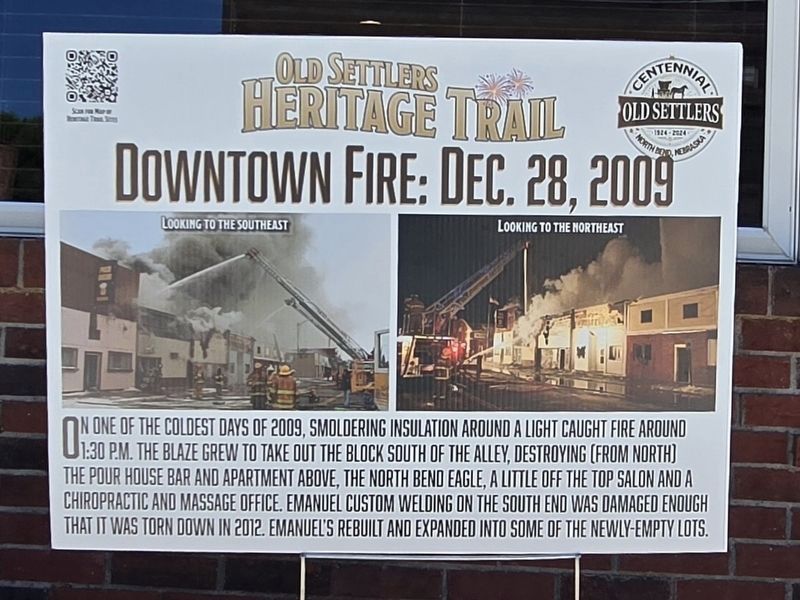
Downtown Fire: Dec. 28, 2009
Photographed by Mark Parker, June 26, 2024
1. Downtown Fire: Dec. 28, 2009 Marker
On one of the coldest days of 2009, smoldering insulation around a light caught fire around 1:30 p.m. The blaze grew to take out the south of the alley, the Pour House bar and apartment above, the North Bend Eagle, A Little Off the Top salon and a chiropractic and massage office. Emanuel Custom Welding on the south end was damaged enough that it was torn down in 2012. Emanuel's rebuilt and expanded into some of the newly-empty lots.
Erected 2024.
Topics. This historical marker is listed in these topic lists: Disasters • Industry & Commerce. A significant historical date for this entry is December 28, 2009.
Location. 41° 27.795′ N, 96° 46.8′ W. Marker is in North Bend, Nebraska, in Dodge County. It is on North Main Street (Nebraska Route 79) north of East 7th Street, on the right when traveling north. Touch for map. Marker is at or near this postal address: 727 N Main St, North Bend NE 68649, United States of America. Touch for directions.

Regionally, this marker is in Eastern Nebraska and in Greater Omaha. It is also in the American Midwest, in the Corn Belt, and on the prairies. Globally, it is in North America,
this page online
Other nearby markers. At least 8 other markers are within 9 miles of this marker, measured as the crow flies: Hyatt / Lee Building (within shouting distance of this marker); Jansen Hardware (within shouting distance of this marker); Farnham Building (within shouting distance of this marker); Datel Building (within shouting distance of this marker); Thomsen's Corner (within shouting distance of this marker); Memorial Park (about 500 feet away, measured in a direct line); Mormon Trail 1847 / Military Road 1856 (approx. 1.3 miles away); Overland Trail (approx. 8.6 miles away). Touch for a list and map of all markers in North Bend.
Photographed by Mark Parker, June 26, 2024
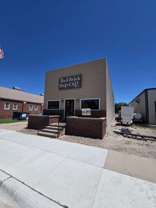
2. Downtown Fire: Dec. 28, 2009 Marker
Credits. This page was last revised on July 23, 2024. It was originally submitted on July 21, 2024, by Mark Parker of Hickory, North Carolina. This page has been viewed 151 times since then and 25 times this year. Photos: 1, 2. submitted on July 21, 2024, by Mark Parker of Hickory, North Carolina. • J. Makali Bruton was the editor who published this page.
