Wayne Township near Versailles in Darke County, Ohio — The American Midwest (Great Lakes)
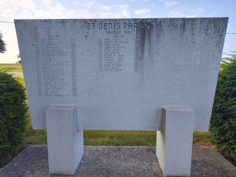
St. Denis Parish
Founded 1840
| — | Pastors | — |
Photographed by Craig Doda, July 13, 2024
1. St. Denis Parish Marker
Rev. Louis Navarron 1840 • Rev. Louis Gillet C.S.S.R. 1849 • Rev. Arnold Pinkers 1852 • Rev. August Rollinet 1853 • Rev. Matthew Convers 1854 • Rev. Patrick Henneberry C.PP.S. 1857 • Rev. Bartholomew Langlois 1857 • Rev. T. Frere S.M. 1858 • Rev. Cyril Brisaid 1859 • Rev. Matthias Kreusch C.PP.S. 1867 • Rev. Francis Schwab C.S.Sp. 1873 • Rev. George Ott C.S.Sp. 1873 • Rev. John Kayser C.S.Sp. 1873 • Rev. James Richertc C.S.Sp. 1876 • Rev. Francis Roth C.S.Sp. 1877 • Rev. Alcide Bourion 1878 • Rev. Leo Boehmer C.PP.S. 1886 • Rev. Louis Hefele C.PP.S. 1892 • Rev. Edward Jacobs C.PP.S. 1895 • Rev. Otto Misler C.PP.S. 1897 • Rev. Joseph Denning 1898 • Rev. John Cotter 1901 • Rev. John Cisack 1903 • Rev. Stephen Weigand C.PP.S. 1903 • Rev. James Fogarty 1903 • Rev. Bernard Beckemeyer 1905 • Rev. Henry Schuer 1906 • Rev. Lawrence Denning 1914 • Rev. Henri Cortain 1918 • Rev. John Brinker 1923 • Rev. Goswin B. Menge 1941 • Rev. Edward J. Herb 1960 • Rev. Lawrence Jaekle 1966 • Rev. Thomas R. Hopp 1981 • Rev. Oscar H. Seger 1983 • Rev. Leo A Hoving 1995 • Rev. David P. Vincent 2001
Topics. This historical marker is listed
this page online
Location. 40° 14.45′ N, 84° 27.857′ W. Marker is near Versailles, Ohio, in Darke County. It is in Wayne Township. It is on Long Road (Truck Route County Road T-345) 0.1 miles west of State Route 47, on the right when traveling west. Touch for map. Marker is at or near this postal address: 9273 Long Rd, Versailles OH 45380, United States of America. Touch for directions.

Regionally, this marker is in the Till Plains. It is also in the American Midwest and in the Corn Belt. Globally, it is in North America, the Western Hemisphere, the Western World, and the Anglosphere. Historically, it finds itself in what was once the Haudenosaunee (Iroquois) Confederacy, the territory of the Mississippian Culture, and the Northwest Territory.
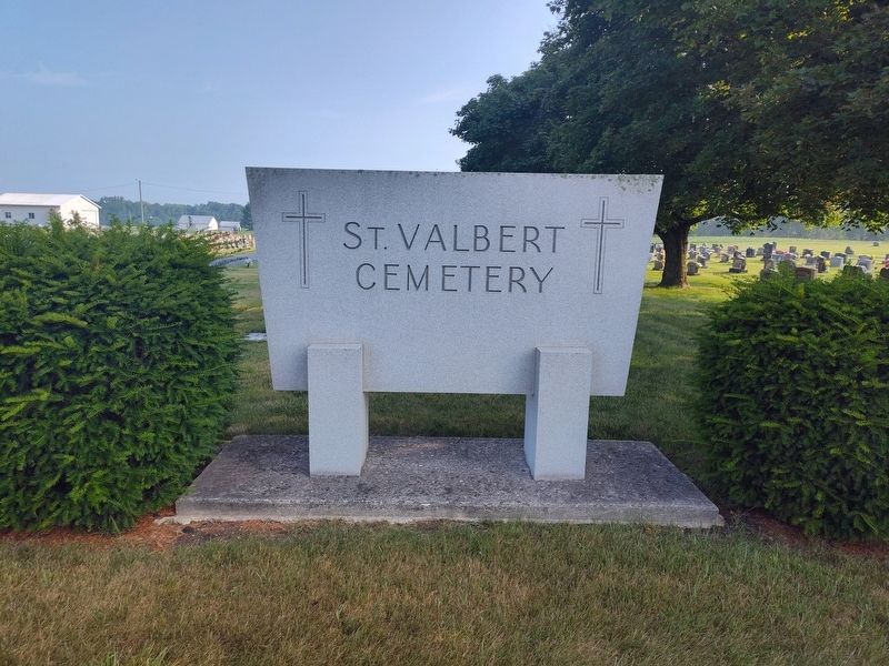
Other nearby markers. At least 8 other markers are within 2 miles of this marker, measured as the crow flies: St. Denis Parish - St. Valbert Cemetery (here, next to this marker); Original Plat of Jacksonville (approx. 1.6 miles away); The Fire of 1901 (approx. 1.6 miles away); Mr. Foy's Cow (approx.
Photographed by Craig Doda, July 13, 2024
2. St. Denis Parish Marker
Credits. This page was last revised on July 27, 2024. It was originally submitted on July 22, 2024, by Craig Doda of Napoleon, Ohio. This page has been viewed 192 times since then and 27 times this year. Photos: 1, 2. submitted on July 22, 2024, by Craig Doda of Napoleon, Ohio. • Devry Becker Jones was the editor who published this page.
