Near Cañon City in Fremont County, Colorado — The American Mountains (Southwest)
The Morrison Formation
Garden Park Fossil Area
Photographed by Mark Hilton, July 8, 2024
1. The Morrison Formation Marker
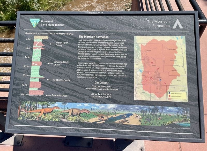
Look for the red and green rock layers around you. This is the Morrison Formation that extends for 600,000 square miles throughout the Western United States. The majority of the formation is covered by other rock layers. The few areas where the Morrison Formation is exposed excite paleontologists and geologists because they preserve large amounts of highly detailed fossils. Through studying these areas, researchers are able to gain a clearer understanding of what the world looked like during the Jurassic Period.
This area was a vast floodplain in a semi-arid environment 155 million years ago. Frequent flash floods covered the banks of streams in muddy silt, while pools in the streams collected coarser sands. Over the course of 10 million years, these streams continued to stack sediments on top of each other. Now, those sediments have been compressed into 280 feet of mudstone and sandstone.
Erected by Bureau of Land Management.
Topics and series. This historical marker is listed in this topic list: Paleontology. In addition, it is included in the National Historic Landmarks series list.
Location. 38° 31.974′ N,
this page online

Regionally, this marker is in the Arkansas River Valley and in Pikes Peak Region. It is also in the American Mountain West. Globally, it is in North America, the Rocky Mountains, the Western Hemisphere, the Western World, and the Anglosphere. Historically, it finds itself in what was once the Comanchería and also the Republic of Texas.
Other nearby markers. At least 8 other markers are within 7 miles of this marker, measured as the crow flies: The Cleveland-Delfs Quarry (here, next to this marker); Where Have The Fossils Gone? (here, next to this marker); Garden Park (approx. 0.2 miles away); Oil Creek (approx. 1.4 miles away); Holy Cross Abbey Monastery (approx. 5.9 miles away); Cañon City / The Gold Belt Tour

Photographed by Mark Hilton, July 8, 2024
2. The Morrison Formation Marker on the right of three.
Photographed by Mark Hilton, July 8, 2024
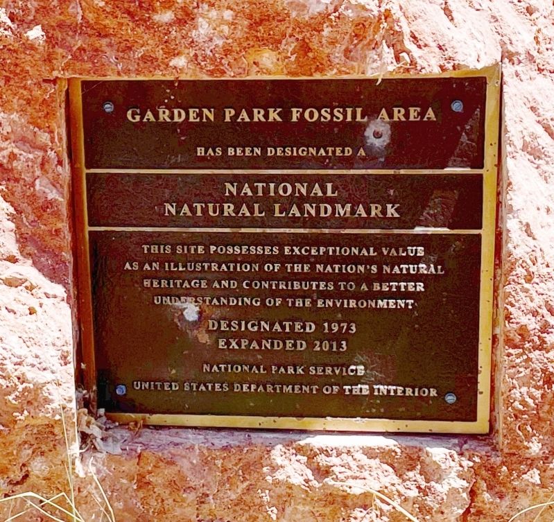
3. The Garden Park Fossil Area is a National Historic Landmark.
Photographed by Mark Hilton, July 8, 2024
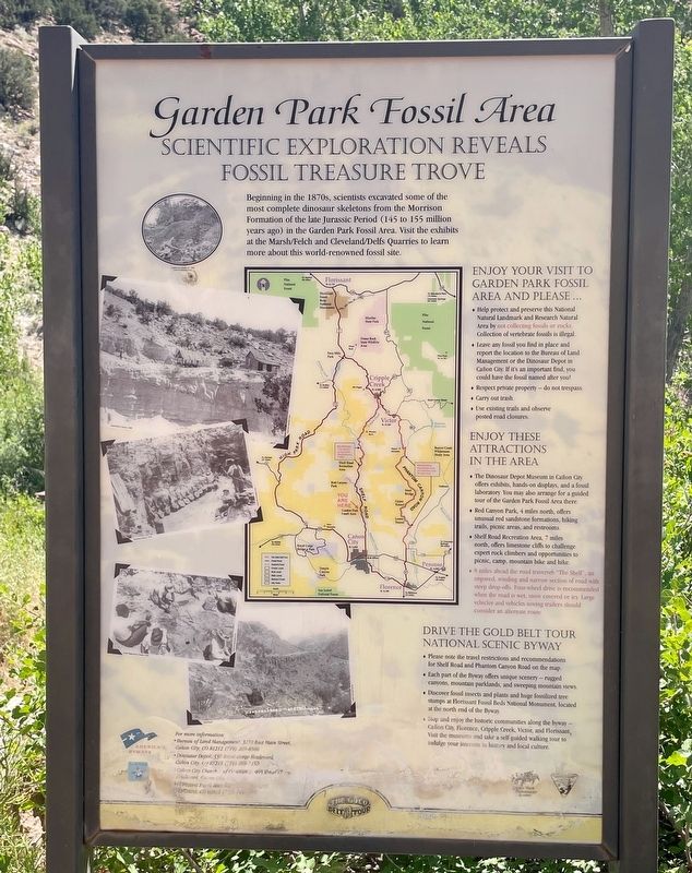
4. Garden Park Fossil Area - Scientific Exploration Reveals Fossil Treasure Trove.
Credits. This page was last revised on July 22, 2024. It was originally submitted on July 22, 2024, by Mark Hilton of Montgomery, Alabama. This page has been viewed 236 times since then and 40 times this year. Photos: 1, 2, 3, 4. submitted on July 22, 2024, by Mark Hilton of Montgomery, Alabama.
