Upper Marlboro in Prince George's County, Maryland — The American Northeast (Mid-Atlantic)
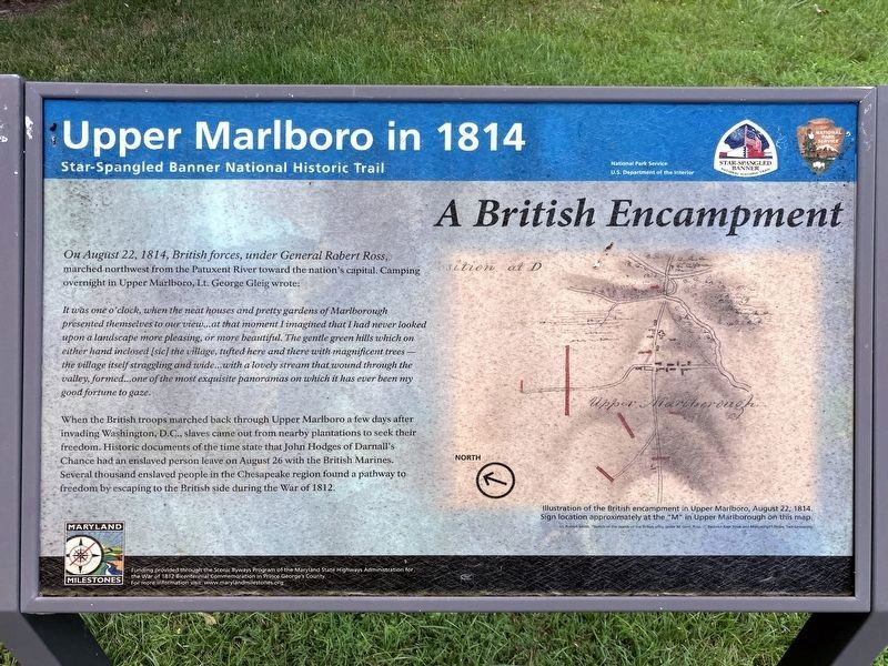
A British Encampment
Upper Marlboro in 1814
| — | Star-Spangled Banner National Historic Trail | — |
Photographed by Allen C. Browne, July 21, 2024
1. A British Encampment Marker
It was one o'clock, when the neat houses and pretty gardens of Marlborough presented themselves to our view. …at that moment I imagined that I had never looked upon a landscape more pleasing, or more beautiful. The gentle green hills which on either hand inclosed [sic] the village, tufted here and there with magnificent trees — the village itself straggling and wide…with a lovely stream that wound through the valley, formed… one of the most exquisite panoramas on which it has ever been my good fortune to gaze.
When the British troops marched back through Upper Marlboro a few days after invading Washington, D. C., slaves came out from nearby plantations to seek their freedom. Historic documents of the time state that John Hodges of Darnall’s Chance had an enslaved person leave on August 26 with the British Marines. Several thousand enslaved people in the Chesapeake region found a pathway to freedom by escaping to the British
this page online
Erected by National Park Service.
Topics and series. This historical marker is listed in this topic list: War of 1812. In addition, it is included in the Star-Spangled Banner National Historic Trail series list. A significant historical date for this entry is August 22, 1814.
Location. 38° 48.854′ N, 76° 45.468′ W. Marker is in Upper Marlboro, Maryland, in Prince George's County. It is on School Lane. Behind Upper Marlboro Town Hall. Touch for map. Marker is at or near this postal address: 14211 School Ln, Upper Marlboro MD 20772, United States of America. Touch for directions.

Regionally, this marker is in the Washington Metropolitan Area. It is also in the American South, specifically in the Upper South, in the Mid-Atlantic, and on the Eastern Seaboard. Globally, it is in the North Atlantic Region, North America, the Western Hemisphere, the Western World, and the Anglosphere. Historically, it finds itself in what was once one of the original Thirteen Colonies and also the Antebellum South.
Other nearby markers. At least 8 other markers are within walking distance of this marker: Protecting the Records and Papers
Photographed by Allen C. Browne, July 21, 2024
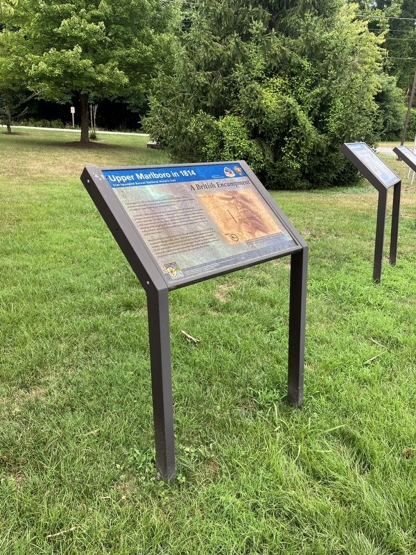
2. A British Encampment Marker
Photographed by Allen C. Browne, July 21, 2024
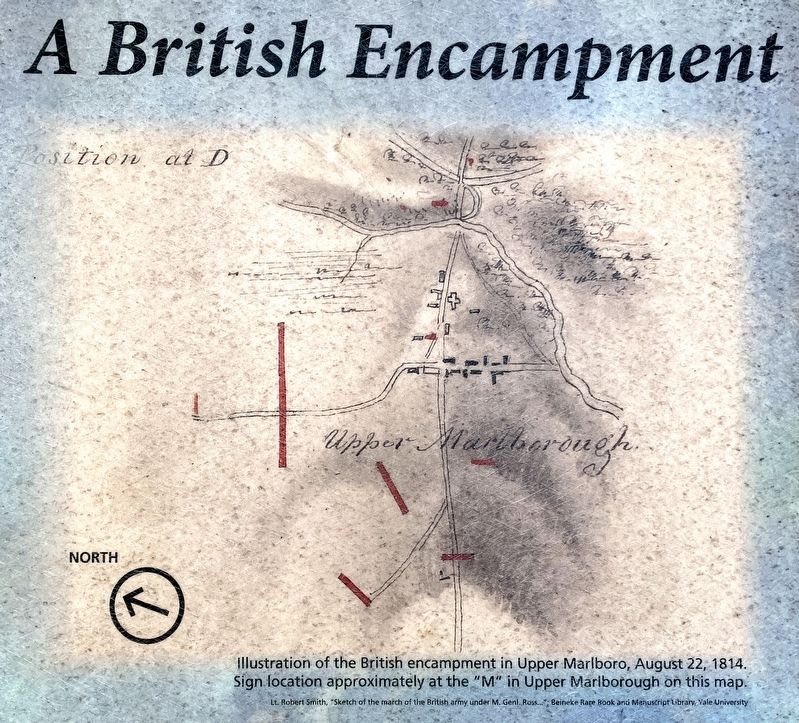
3. Illustration of the British encampment in Upper Marlboro, August 22, 1814.
Sign location approximately at the “M” in Upper Marlborough on this Map.
Lt. Robert Smith “Sketch of the March of the British Army Under M. Gen. Ross…” Beineke Rare Book and Manuscript Library, Yale University.
Lt. Robert Smith “Sketch of the March of the British Army Under M. Gen. Ross…” Beineke Rare Book and Manuscript Library, Yale University.
Credits. This page was last revised on July 24, 2024. It was originally submitted on July 23, 2024, by Allen C. Browne of Silver Spring, Maryland. This page has been viewed 261 times since then and 44 times this year. Photos: 1, 2, 3. submitted on July 23, 2024, by Allen C. Browne of Silver Spring, Maryland.
