
Hereford in Herefordshire, England, United Kingdom — Northwestern Europe (the British Isles)
Rev. John Venn, M.A.
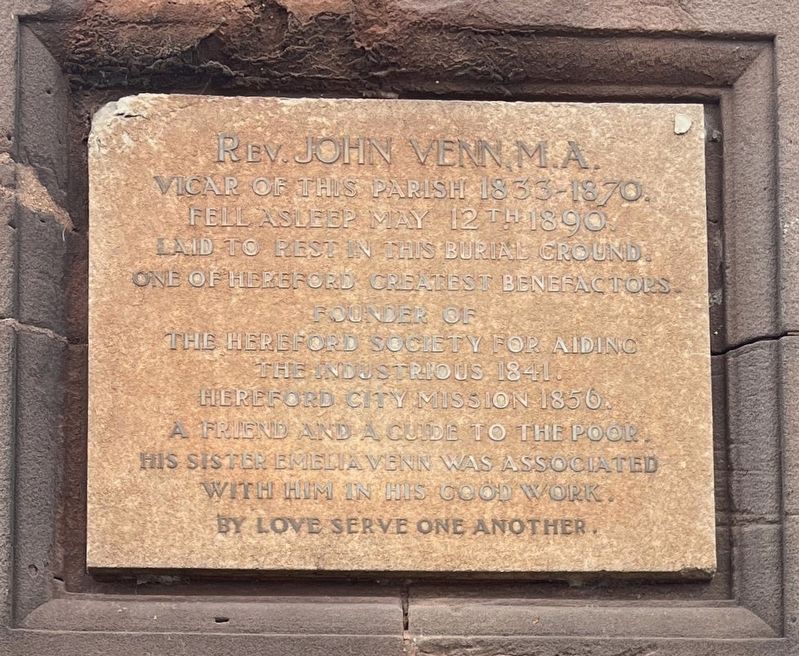
Photographed by Ray Gurganus, April 6, 2024
1. Rev. John Venn, M.A. Marker
Vicar of this parish 1853-1870.
Fell asleep May 12th 1890.
Laid to rest in this burial ground.
One of Hereford greatest benefactors.
Founder of The Hereford Society for Aiding the Industrious 1841.
Hereford City Mission 1856.
A friend and a guide to the poor.
His sister Emelia Venn was associated with him in his good work.
By love serve one another.
Topics. This historical marker is listed in these topic lists: Charity & Public Work • Religion & Religious Structures. A significant historical date for this entry is May 12, 1890.
Location. 52° 3.514′ N, 2° 42.633′ W. Marker is in Hereford, England, in Herefordshire. It is on Commercial Road, on the left when traveling east. Touch for map. Marker is at or near this postal address: 23B Commercial Road, Hereford, England HR1, United Kingdom. Touch for directions.

Regionally, this marker is in England’s Midlands. It is also on the British Marches. Globally, it is on the Atlantic Ocean, in the North Atlantic Region, in Europe, in Atlantic Europe, on one of the British Isles, in the Western World, and in the Anglosphere. Historically, it finds itself in what
this page online
Other nearby markers. At least 7 other markers are within 19 kilometers of this marker, measured as the crow flies: Hereford Train Station (approx. 0.4 kilometers away); a different marker also named Hereford Train Station (approx. 0.4 kilometers away); Hereford Cathedral Close (approx. half a kilometer away); a different marker also named Hereford Cathedral Close (approx. 0.6 kilometers away); a different marker also named Hereford Cathedral Close (approx. 0.6 kilometers away); Wye Bridge (approx. 0.9 kilometers away); Red Crosse Bridge (approx. 19.1 kilometers away).
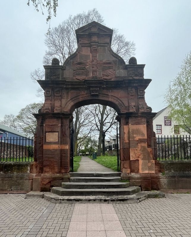
Photographed by Ray Gurganus, April 6, 2024
2. Rev. John Venn, M.A. Marker
Credits. This page was last revised on July 23, 2024. It was originally submitted on July 23, 2024, by Ray Gurganus of Washington, District of Columbia. This page has been viewed 161 times since then and 18 times this year. Photos: 1, 2. submitted on July 23, 2024, by Ray Gurganus of Washington, District of Columbia. • Andrew Ruppenstein was the editor who published this page.
