Upper Marlboro in Prince George's County, Maryland — The American Northeast (Mid-Atlantic)
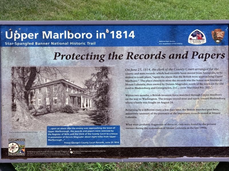
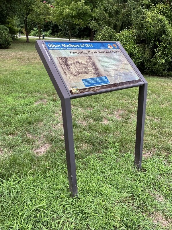
Protecting the Records and Papers
Upper Marlboro in 1814
| — | Star-Spangled Banner National Historic Trail | — |
Photographed by Allen C. Browne, July 21, 2024
1. Protecting the Records and Papers Marker
Within two months, a British invasion force marched through Upper Marlboro on the way to Washington. The troops veered west and north toward Bladensburg where a battle was fought on August 24.
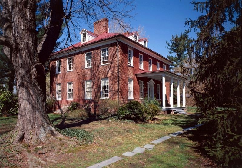
Returning by a different route a few days later, the British marched past here, apparently unaware of the presence of the important records stored at Mount Lubentia.
What were probably fragments of these records were found by the present owners during the restoration of Mount Lubentia in the late 1990s.
Erected by National Park Service.
Topics and series. This historical marker is listed in this topic list: War of 1812. In addition, it is included in the Star-Spangled Banner National Historic Trail
this page online
Location. 38° 48.854′ N, 76° 45.468′ W. Marker is in Upper Marlboro, Maryland, in Prince George's County. It is on School Lane. Behind the Upper Marlboro Town Hall. Touch for map. Marker is at or near this postal address: 14211 School Ln, Upper Marlboro MD 20772, United States of America. Touch for directions.

Regionally, this marker is in the Washington Metropolitan Area. It is also in the American South, specifically in the Upper South, in the Mid-Atlantic, and on the Eastern Seaboard. Globally, it is in the North Atlantic Region, North America, the Western Hemisphere, the Western World, and the Anglosphere. Historically, it finds itself in what was once one of the original Thirteen Colonies and also the Antebellum South.
Other nearby markers. At least 8 other markers are within walking distance of this marker: A British Encampment (here, next to this marker); At a Crossroads of Travel and Trade (a few steps from this marker); Marlborough (approx. 0.2 miles away); Baltimore-Southern Maryland Trunk Line (approx. 0.2 miles away); Thomas John Claggett, D.D. (approx.
Photographed by Allen C. Browne, July 21, 2024
2. Protecting the Records and Papers Marker
Library of Congress
3. Mount Lubentia
“…upon an alarm that the enemy was approaching the town of Upper Marlborough, the records and papers were removed by the Registrar of Wills and the Clerk of the County Court to a house in possession of Dennis Magruder about eight miles from Upper Marlborough…”
Prince George’s County Court Records, June 25 1814
Photo by Jack Boucher HABS/HAER, Library of Congress
Prince George’s County Court Records, June 25 1814
Photo by Jack Boucher HABS/HAER, Library of Congress
Credits. This page was last revised on July 23, 2024. It was originally submitted on July 23, 2024, by Allen C. Browne of Silver Spring, Maryland. This page has been viewed 134 times since then and 20 times this year. Photos: 1, 2, 3. submitted on July 23, 2024, by Allen C. Browne of Silver Spring, Maryland.
