
Kimball in McDowell County, West Virginia — The American South (Appalachia)
2001 – 2002 Floods
| — | National Coal Heritage Trail | — |
Photographed by J. J. Prats, July 24, 2021
1. 2001 – 2002 Floods Marker
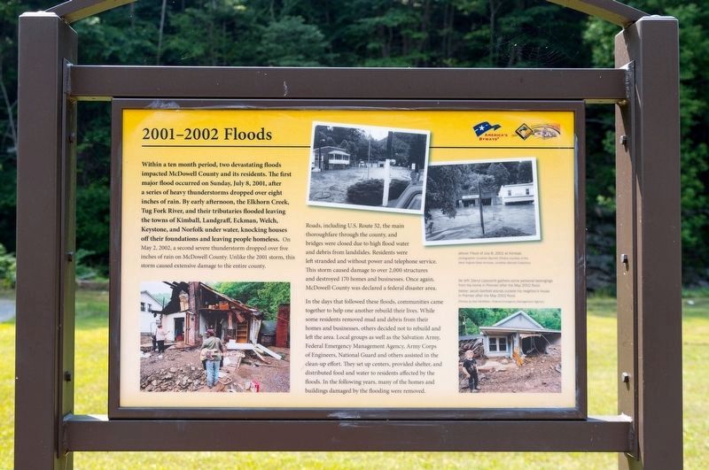
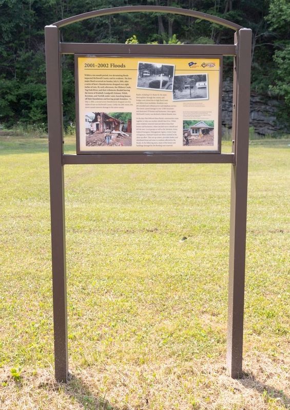
Within a ten month period, two devastating floods impacted McDowell County and its residents. The first major flood occurred on Sunday, July 8, 2001, after a series of heavy thunderstorms dropped over eight inches of rain. By early afternoon, the Elkhorn Creek, Tug Fork River, and their tributaries flooded leaving the towns of Kimball, Landgraff, Eckman, Welch, Keystone, and Norfolk under water, knocking houses off their foundations and leaving people homeless. On May 2, 2002, a second severe thunderstorm dropped over five inches of rain on McDowell County. Unlike the 2001 storm, this storm caused extensive damage to the entire county.
Roads, including U.S. Route 52, the main thoroughfare through the county, and bridges were closed due to high flood water and debris from landslides. Residents were left stranded and without power and telephone service. This storm caused damage to over 2,000 structures and destroyed 170 homes and businesses. Once again, McDowell County was declared a federal disaster area.
In the days that followed these floods, communities came together to help one another rebuild their lives.
this page online
Erected by National Coal Highway Authority and America’s Byways.
Topics and series. This historical marker is listed in this topic list: Disasters. In addition, it is included in the Coal Heritage Trail series list. A significant historical date for this entry is May 2, 2002.
Location. 37° 25.588′ N, 81° 30.438′ W. Marker is in Kimball, West Virginia, in McDowell County. It is on Main Street (U.S. 52) 0.1 miles south of Lavania Street, on the right when traveling south. Touch for map. Marker is in this post office area: Kimball WV 24853, United States of America. Touch for directions.

Regionally, this marker is in the Southern Coalfields. It is also
Photographed by J. J. Prats, July 24, 2021
2. 2001 – 2002 Floods Marker
Other nearby markers. At least 8 other markers are within walking distance of this marker: Kimball War Memorial (here, next to this marker); African Americans (here, next to this marker); Frederick Kimball (here, next to this marker); Houston Company Store (a few steps from this marker); Dr. Roscoe Conklin Harrison (about 300 feet away, measured in a direct line); Coal Company Town (about 600 feet away); Heartland Corridor Project (about 600 feet away); World War I Memorial (about 600 feet away). Touch for a list and map of all markers in Kimball.
More about this marker. This interpretive panel has four photographs. At top are two captioned, “Flood of July 8, 2011 at Kimball.” On the left is a color photograph captioned “Darryl Lipscomb gathers some personal belongings from his home in Premier after the May 2002 flood.” At

Photographed by J. J. Prats, July 24, 2021
3. Kimball National Coal Trail Interpretive Site
This marker is the first upright marker on the left.
Credits. This page was last revised on July 24, 2024. It was originally submitted on August 4, 2021, by J. J. Prats of Powell, Ohio. This page has been viewed 1,282 times since then and 123 times this year. Last updated on July 23, 2024, by Dave W of Co, Colorado. Photos: 1, 2, 3. submitted on August 4, 2021, by J. J. Prats of Powell, Ohio. • Devry Becker Jones was the editor who published this page.
