Troy in Doniphan County, Kansas — The American Midwest (Upper Plains)
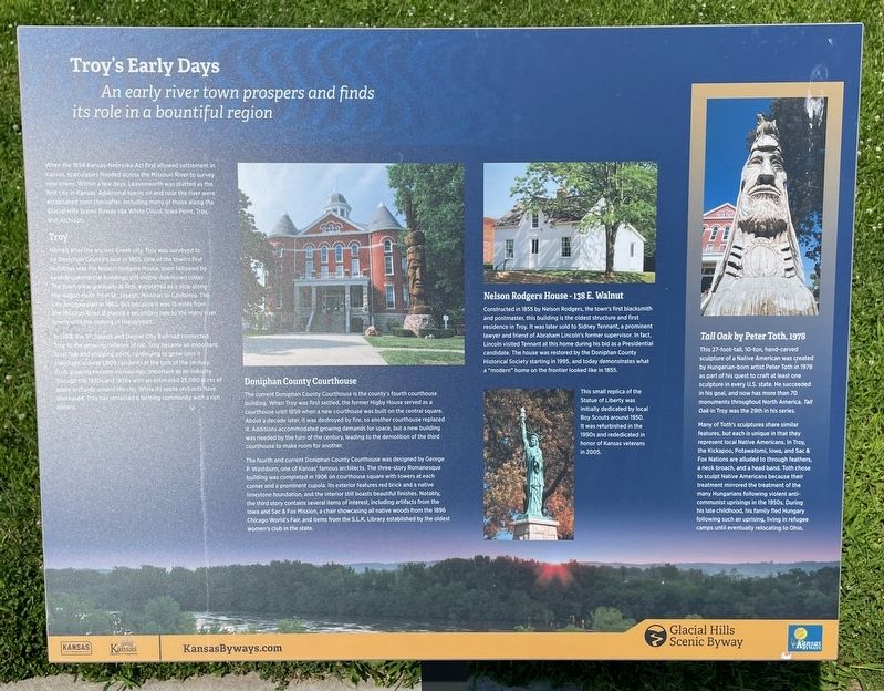
Troy's Early Days
An early river town prospers and finds its role in a bountiful region
| — | Glacial Hills Scenic Byway | — |
Photographed by Mark Hilton, July 11, 2024
1. Troy's Early Days Marker
When the 1854 Kansas-Nebraska Act first allowed settlement in Kansas speculators flooded across the Missouri River to survey new towns. Within a few days, Leavenworth was platted as the first city in Kansas. Additional towns on and near the river were established soon thereafter, including many of those along the Glacial Hills Scenic Byway like White Cloud, lowa Point, Troy, and Atchison.
Troy
Named after the ancient Greek city, Troy was surveyed to be Doniphan County's seat in 1855. One of the town's first buildings was the Nelson Rodgers House, soon followed by several commercial buildings still visible downtown today. The town grew gradually at first, supported as a stop along the wagon route from St. Joseph, Missouri to California. The city incorporated in 1860, but because it was 15 miles from the Missouri River, it played a secondary role to the many river towns until the coming of the railroad.
In 1869, the St. Joseph and Denver City Railroad connected Troy to the growing network of rail. Troy became an important local hub and shipping point, continuing to grow until it stabilized around 1,000 residents
this page online
Doniphan County Courthouse
The current Doniphan County Courthouse is the county's fourth courthouse bullding When Troy was first settled, the former Higby House served as a courthouse until 1859 when a new courthouse was built on the central square. About a decade later it was destroyed by fire, so another courthouse replaced it. Additions accommodated growing demands for space, but a new building was needed by the turn of the century, leading to the demolition of the third courthouse to make room for another.
The fourth and current Doniphan County Courthouse was designed by George P Washburn, one of Kansas famous architects. The three-story Romanesque building was completed in 1906 on courthouse square with towers at each corner and a prominent cupola. Its exterior features red brick and a native limestone foundation, and the interior still boasts beautiful
Photographed by Mark Hilton, July 11, 2024
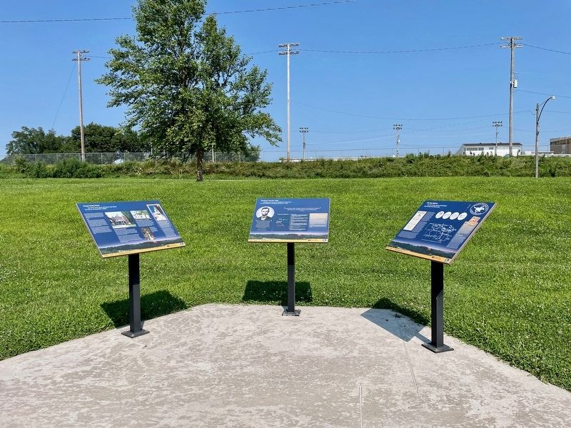
2. Troy's Early Days Marker (on left of three).
Erected by Kansas Tourism, Kansas Department of Transportation.
Topics. This historical marker is listed in these topic lists: Architecture • Settlements & Settlers. A significant historical year for this entry is 1854.
Location. 39° 47.103′ N, 95° 5.845′ W. Marker is in Troy, Kansas, in Doniphan County. It can be reached from Last Chance Road (Kansas Route 136) south of Doniphan Street, on the right when traveling south. Located near the Troy Community Center. Touch for map. Marker is at or near this postal address: 1225 Last Chance Rd, Troy KS 66087, United States of America. Touch for directions.

Regionally, this marker is in Eastern Kansas. It is also in the American Midwest, in the Lewis & Clark Corridor, in the Corn Belt, on the prairies, and on the Southern Plains. Globally, it is in North America, the Western Hemisphere, the Western
Photographed by Mark Hilton, July 11, 2024
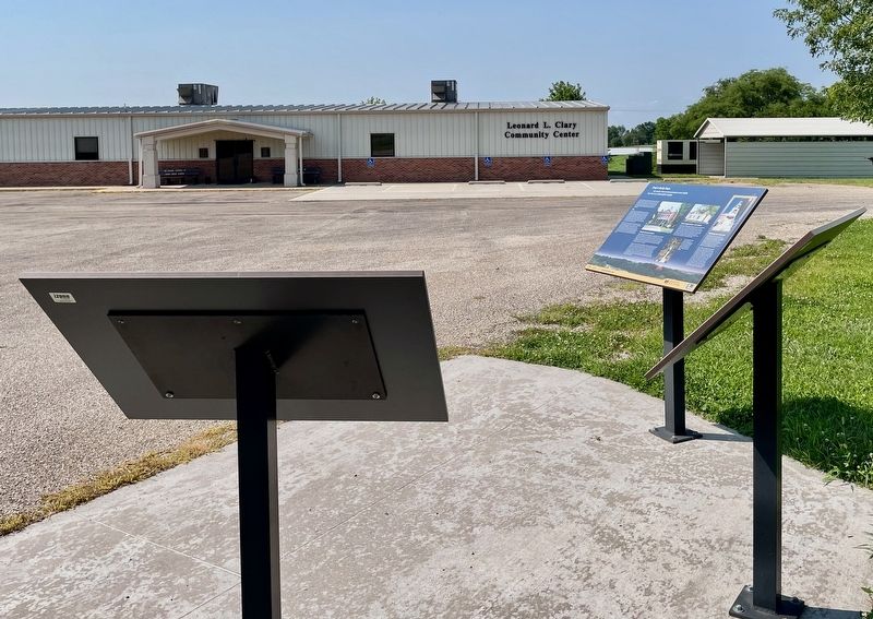
3. Troy's Early Days Marker looking towards the Troy Community Center.
Other nearby markers. At least 8 other markers are within walking distance of this marker: Abraham Lincoln's Visit (here, next to this marker); The Pony Express (here, next to this marker); Replica of the Statue of Liberty (approx. 0.4 miles away); Melvin L. Schmidt, J.D. (approx. 0.4 miles away); Doniphan County Courthouse (approx. half a mile away); "Tall Oak" (approx. half a mile away); Walter C. Worman and George Larson (approx. half a mile away); Abraham Lincoln (approx. half a mile away). Touch for a list and map of all markers in Troy.
Also see . . . Glacial Hills Scenic Byway – Kansas. (Submitted on July 23, 2024, by Mark Hilton of Montgomery, Alabama.)
Credits. This page was last revised on July 23, 2024. It was originally submitted on July 23, 2024, by Mark Hilton of Montgomery, Alabama. This page has been viewed 364 times since then and 54 times this year. Photos: 1, 2, 3. submitted on July 23, 2024, by Mark Hilton of Montgomery, Alabama.
