Near Fort Hunter in Montgomery County, New York — The American Northeast (Mid-Atlantic)
William Harper
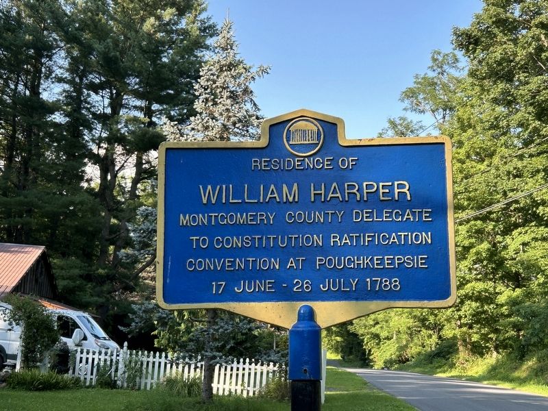
Photographed by Steve Stoessel, July 23, 2024
1. William Harper Marker
Topics. This historical marker is listed in this topic list: Notable Places. A significant historical date for this entry is June 17, 1788.
Location. 42° 56.625′ N, 74° 16.168′ W. Marker is near Fort Hunter, New York, in Montgomery County. It is on Queen Anne Road 0.1 miles east of Main Street, on the left when traveling east. Touch for map. Marker is at or near this postal address: 187 Queen Anne Road, Amsterdam NY 12010, United States of America. Touch for directions.

Regionally, this marker is in Upstate New York and in the Mohawk Valley. It is also in the American Northeast and in the Mid-Atlantic. Globally, it is in North America, the Western Hemisphere, the Western World, and the Anglosphere. Historically, it finds itself in what was once the Haudenosaunee (Iroquois) Confederacy, New Netherland, and one of the original Thirteen Colonies.
Other nearby markers. At least 8 other markers are within walking distance of this marker: Queen Anne Parsonage (here, next to this marker);
this page online
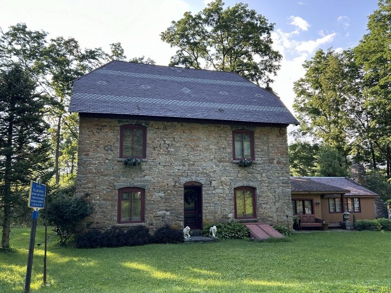
Photographed by Steve Stoessel, July 23, 2024
2. William Harper Marker
Credits. This page was last revised on July 23, 2024. It was originally submitted on July 23, 2024, by Steve Stoessel of Niskayuna, New York. This page has been viewed 218 times since then and 30 times this year. Photos: 1, 2. submitted on July 23, 2024, by Steve Stoessel of Niskayuna, New York.
