Barry in Kansas City in Platte County, Missouri — The American Midwest (Upper Plains)
The Town of Barry
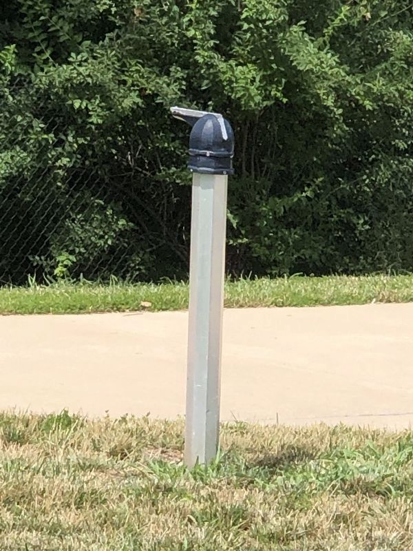
Photographed by Duane and Tracy Marsteller, June 30, 2024
1. The Town of Barry Marker (missing)
A few structures existed at Barry as early as 1822, including a trading post/tavern built by George Burnett. He located his log building on the Missouri side of the border adjoining Indian Territory. Burnett operated the business until his death in 1838. Judge Thomas Minor Chevis bought the property in 1839 and added several rooms to the tavern. In the early 1960s, the Burnett-Chevis Tavern was moved to Jackson County as part of Missouri Town 1855.
By the time of the Platte Purchase in 1836, Barry included a post office, blacksmith shop, stores, saloons, a grist mill, an inn and several churches. The booming town also welcomed travelers with a public well. Originally dug in 1835 on the south side of today's Barry Road
this page online
Because of its location on the Military Road, Barry witnessed significant history. Yet as the frontier moved west, so did many of its early settlers. Most notable was Peter Hardeman Burnett, who, after selling his father's tavern to Judge Chevis, helped to lead a 1000-person wagon train from Jackson County to Oregon in 1843. He became the first civilian governor of California in 1849.
Erected 2018 by The Native Sons and Daughters of Greater Kansas City • Kansas City Parks and Recreation. (Marker Number 47.)
Topics. This historical marker is listed in these topic lists: Government & Politics • Industry & Commerce • Settlements & Settlers. A significant historical year for this entry is 1822.
Location. Marker is missing. It was located near 39° 15.235′ N, 94° 36.396′ W. Marker was in Kansas City, Missouri, in Platte County. It was in Barry. It could be reached from Northwest 87th Terrace east of Northwest 88th Street/Northwest Old Stagecoach Rd, on
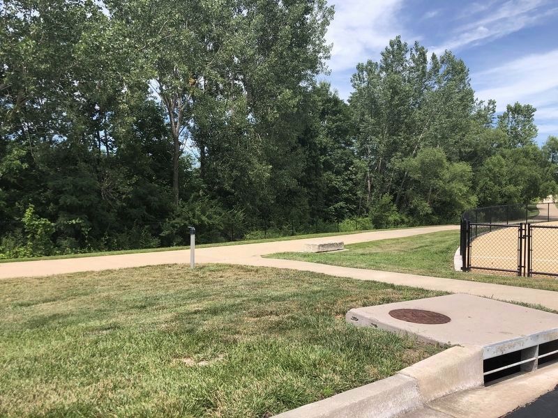
Photographed by Duane and Tracy Marsteller, June 30, 2024
2. The Town of Barry Marker (missing)

Regionally, this marker was in the American Midwest, in the Lewis & Clark Corridor, and in the Corn Belt. Globally, it was in North America, the Western Hemisphere, the Western World, and the Anglosphere. Historically, it found itself in what was once the territory of the Mississippian Culture, the Louisiana Purchase, and the Antebellum South.
Other nearby markers. At least 8 other markers are within 6 miles of this location, measured as the crow flies: Old Western Border of the United States (approx. 0.3 miles away); Historic Linden, Missouri (approx. 3.1 miles away); Old Pike Road / Ferry Boat Operators at Kawsmouth (approx. 4.8 miles away); Atkins-Johnson Farmhouse (approx. 4.9 miles away); Atkins-Johnson House (approx. 4.9 miles away); Atkins-Johnson Farm (approx. 4.9 miles away); Renner Village Site (approx. 5.4 miles away); Former Site of Red Crown Tavern and Tourist Cabins
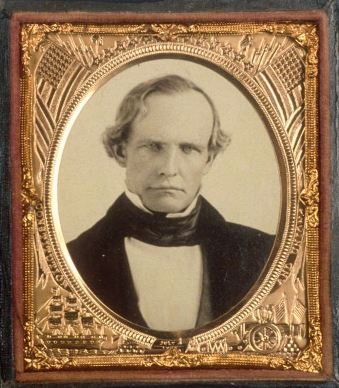
via Online Archive of California (Public Domain), circa 1860
3. Peter Hardeman Burnett (1807-1895)
He became a prominent white supremist in the West, advocating the creation of a whites-only California and Oregon by expelling African Americans, Native Americans and Chinese immigrants.
More about this marker. Inscription obtained from The Native Sons and Daughters of Greater Kansas City.
Credits. This page was last revised on August 4, 2024. It was originally submitted on July 24, 2024, by Duane and Tracy Marsteller of Murfreesboro, Tennessee. This page has been viewed 669 times since then and 138 times this year. Photos: 1, 2, 3. submitted on July 24, 2024, by Duane and Tracy Marsteller of Murfreesboro, Tennessee.
Editor’s want-list for this marker. Closeup and wide-view photographs of marker before it disappeared or after it is returned or replaced. • Can you help?
