Downtown West in Minneapolis in Hennepin County, Minnesota — The American Midwest (Upper Plains)
The Oakland
Photographed by McGhiever, June 9, 2024
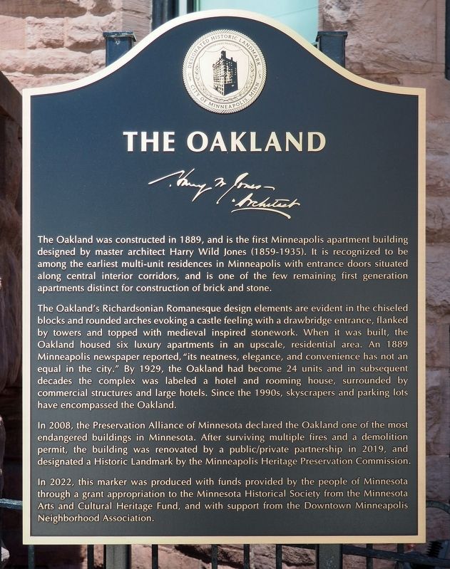
1. The Oakland Marker
The Oakland was constructed in 1889, and is the first Minneapolis apartment building designed by master architect Harry Wild Jones (1859-1935). It is recognized to be among the earliest multi-unit residences in Minneapolis with entrance doors situated along central interior corridors, and is one of the few remaining first generation apartments distinct for construction of brick and stone.
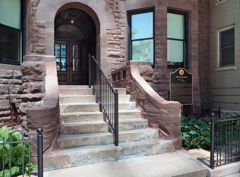
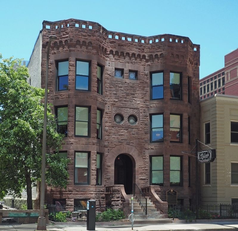
The Oakland's Richardsonian Romanesque design elements are evident in the chiseled blocks and rounded arches evoking a castle feeling with a drawbridge entrance, flanked by towers and topped with medieval inspired stonework. When it was built, the Oakland housed six luxury apartments in an upscale, residential area. An 1889 Minneapolis newspaper reported, "its neatness, elegance, and convenience has not an equal in the city." By 1929, the Oakland had become 24 units and in subsequent decades the complex was labeled a hotel and rooming house, surrounded by commercial structures and large hotels. Since the 1990s, skyscrapers and parking lots have encompassed the Oakland.
In 2008, the Preservation Alliance of Minnesota declared the
this page online
Erected 2022 by Downtown Minneapolis Neighborhood Association.
Topics. This historical marker is listed in this topic list: Architecture. A significant historical year for this entry is 1889.
Location. 44° 58.405′ N, 93° 16.238′ W. Marker is in Minneapolis, Minnesota, in Hennepin County. It is in Downtown West. It is on S. 9th Street west of 3rd Avenue S., on the left when traveling west. Touch for map. Marker is at or near this postal address: 215 S 9th Street, Minneapolis MN 55402, United States of America. Touch for directions.

Regionally, this marker is in the Twin Cities Metropolitan Area.
Photographed by McGhiever, June 9, 2024
2. The Oakland Marker
Other nearby markers. At least 8 other markers are within walking distance of this marker: Foshay Tower (about 600 feet away, measured in a direct line); Former Site of Plymouth Congregational Church (approx. 0.2 miles away); Architects and Engineers Building (approx. ¼ mile away); Westminster Presbyterian Church (approx. ¼ mile away); Founders of Central Lutheran Church (approx. ¼ mile away); Minneapolis YMCA Central Building (approx. 0.3 miles away); Eagles (approx. 0.3 miles away); USS Minnesota (BB22) (approx. 0.3 miles away). Touch for a list and map of all markers in Minneapolis.
Photographed by McGhiever, June 9, 2024
3. The Oakland
Credits. This page was last revised on July 24, 2024. It was originally submitted on July 24, 2024, by McGhiever of Minneapolis, Minnesota. This page has been viewed 258 times since then and 53 times this year. Photos: 1, 2, 3. submitted on July 24, 2024, by McGhiever of Minneapolis, Minnesota.
