Epping in Williams County, North Dakota — The American Midwest (Upper Plains)
"Lewis Mistaken For an Elk"
Lewis and Clark State Park

Photographed by Barry Swackhamer, February 2, 2011
1. "Lewis Mistaken For an Elk" Marker
Cruzatte pleaded innocence, but conceded that he must have done this when he shot at an elk in the willows. Lewis held no grudge toward Cruzatte but, as a result of his injury, Lewis spent much of the return voyage on his stomach in the bottom of a perogue.
Erected by North Dakota Parks & Recreation Department.
Topics and series. This historical marker is listed in these topic lists: Disasters • Exploration. In addition, it is included in the Lewis & Clark Expedition series list. A significant historical date for this entry is August 11, 1806.
Location. 48° 7.44′ N, 103° 13.895′ W.
this page online

Regionally, this marker is in the Bakken Oil Patch. It is also in the American Lewis & Clark Corridor, on the prairies, and on the Northern Plains. Globally, it is in North America, the Western Hemisphere, the Western World, and the Anglosphere. Historically, it finds itself in what was once Rupert’s Land and also the Louisiana Purchase.
Other nearby markers. At least 5 other markers are within 6 miles of this marker, measured as the crow flies: "Handsome High Planes" (here, next to this marker); Lewis and Clark State Park (here, next to this marker); "Great Numbers" (here, next to this marker); "Keeping up with Necessities" (here, next to this marker); Tobacco Garden Bay (approx. 6 miles away).
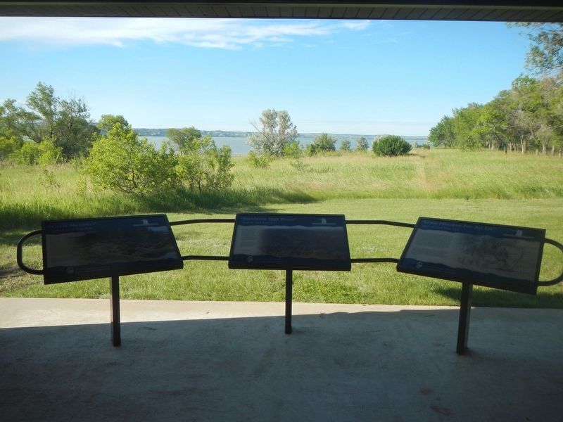
Photographed by Barry Swackhamer, February 2, 2011
2. "Lewis Mistaken For an Elk" Marker
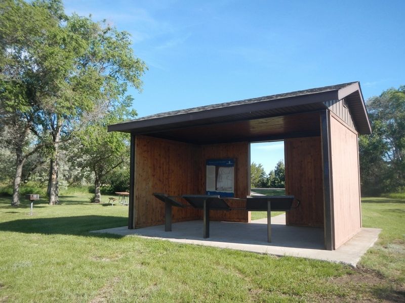
Photographed by Barry Swackhamer, February 2, 2011
3. "Lewis Mistaken For an Elk" Marker
Credits. This page was last revised on July 26, 2024. It was originally submitted on July 26, 2024, by Barry Swackhamer of Brentwood, California. This page has been viewed 159 times since then and 26 times this year. Photos: 1, 2, 3. submitted on July 26, 2024, by Barry Swackhamer of Brentwood, California.
