West Central El Paso in El Paso County, Texas — The American South (West South Central)
First Presbyterian Church of El Paso

Photographed by James Hulse, July 22, 2024
1. First Presbyterian Church of El Paso Marker
The membership outgrew that building during the pastorate of Dr. Henry W. Moore (d. 1905) after 1896. A new structure at Yandell Blvd. and Stanton St. was dedicated on January 14, 1908, by Dr. W. Edward McLeod (d.1908).
By the early 1940s, membership reached 1400, and the congregation provided numerous religious and recreational services to soldiers based in El Paso during World War II. The church continued community work in post-war years with youth programs and missionary activities along the El Paso border.
Under the pastorate of George W. Burroughs (1919-1966) a new church complex was begun at this site, where services were first held in 1958.
As the first Presbyterian fellowship in Texas west of the Pecos, this church has strong ties to West Texas history and the development of modern El Paso.
Erected 1986 by Texas Historical Commission. (Marker Number 1835.)
Topics. This historical marker is listed in this topic list: Religion & Religious Structures. A significant historical date for this entry is January 14, 1908.
Location. 31° 46.711′ N, 106° 29.088′ W. Marker is in El Paso, Texas, in El Paso County. It is in West Central El Paso. It is on Murchison Drive east of Brown Street. The marker is located in a small side entrance to the church. Touch for map. Marker is at or near this postal address: 1340 Murchison Dr, El Paso TX 79902, United States of America. Touch for directions.

Regionally,
this page online
Other nearby markers. At least 8 other markers are within walking distance of this marker: Bien Venido! (approx. 0.4 miles away); Texas Western College/ The Peace Grove (approx. 0.4 miles away); The City of El Paso / Ciudad Juarez, Mexico (approx. 0.4 miles away); Mount Cristo Rey/ The Gadsden Purchase/ El Paso Smelting Works (approx. 0.4 miles away); The Chamizal Settlement (approx. 0.4 miles away); The Rio Grande Irrigation Project (approx. 0.4 miles away); The Rainmakers of 1891 (approx. 0.4 miles away); The Franklin Mountains (approx. 0.4 miles away). Touch for a list and map of all markers in El Paso.
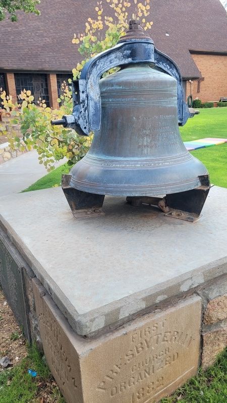
Photographed by James Hulse, July 22, 2024
2. Church Bell and Cornerstone
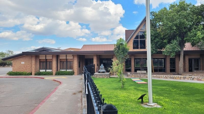
Photographed by James Hulse, July 22, 2024
3. The marker is located under the covered side entrance to the church (left side of the bell)
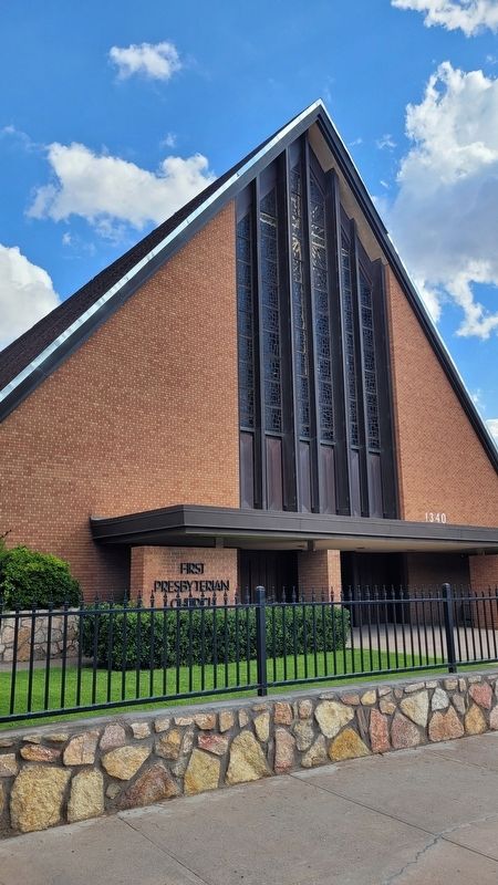
Photographed by James Hulse, July 22, 2024
4. The front view of the First Presbyterian Church of El Paso
Credits. This page was last revised on July 28, 2024. It was originally submitted on July 26, 2024, by James Hulse of Medina, Texas. This page has been viewed 694 times since then and 386 times this year. Photos: 1, 2, 3, 4. submitted on July 28, 2024, by James Hulse of Medina, Texas.
