Near Epping in Williams County, North Dakota — The American Midwest (Upper Plains)
"Keeping up with Necessities"
Photographed by Barry Swackhamer
1. "Keeping up with Necessities" Marker
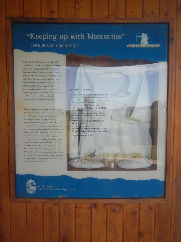
When the expedition started, the men were dressed in military uniforms. As time went on their clothing began to wear out. The men then began making buckskin clothing, including shirts, leggings, breechcloths, and moccasins. Moccasins wore out quickly and were constantly being repaired or replaced, a tedious and time consuming duty. The steel needles used to sew their clothing together were brought with the expedition as a trade item. Eventually, the men realized that elk was the hide of choice, as they are larger than deer, and were actually easier to hunt. Being dressed in brown buckskin clothing did have one likely consequence:
this page online
Recipe for tanning hides:
1. Clean the flesh and fat off the underside of the hide.
2. Clean the hair off the top side of the hide.
3. Cook the brain of the animal in water for 20 minutes.
4. Make a past of the cooked brains.
5. Rub the paste into both sides of the hide.
6. Let the hide set in a container for at least 12 hours.
7. Wipe off any excess paste.
8. Pull and stretch the hide until it is dry. This step takes several hours and cannot be stopped until the hide is dry.
9. When the hide is properly stretched dry, it will become very soft.
10. It will smell extremely bad!
11. Place the dressed hide over a smokey fire. This helps the smell, and adds a light oily film over the surface.
The hide in now ready to use.
Topics and series. This historical marker is listed in this topic list: Exploration. In addition, it is included in the Lewis & Clark Expedition series list. A significant historical date for this entry is August 8, 1806.
Location. 48° 7.44′ N, 103° 13.89′ W. Marker is near Epping, North Dakota, in Williams
Photographed by Barry Swackhamer, February 2, 2011
2. "Keeping up with Necessities" Marker
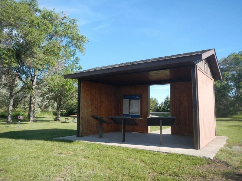
The marker is on the back wall of the kiosk.

Regionally, this marker is in the Bakken Oil Patch. It is also in the American Lewis & Clark Corridor, on the prairies, and on the Northern Plains. Globally, it is in North America, the Western Hemisphere, the Western World, and the Anglosphere. Historically, it finds itself in what was once Rupert’s Land and also the Louisiana Purchase.
Other nearby markers. At least 5 other markers are within 6 miles of this marker, measured as the crow flies: "Great Numbers" (here, next to this marker); "Lewis Mistaken For an Elk" (here, next to this marker); "Handsome High Planes" (here, next to this marker); Lewis and Clark State Park (here, next to this marker); Tobacco Garden Bay (approx. 6 miles away).
Credits. This page was last revised on July 28, 2024. It was originally submitted on July 28, 2024, by Barry Swackhamer of Brentwood, California. This page has been viewed 147 times since then and 16 times this year. Photos: 1, 2. submitted on July 28, 2024, by Barry Swackhamer of Brentwood, California.
