
Hodgenville in Larue County, Kentucky — The American South (East South Central)
The Boundary Oak
Photographed by Beverly Pfingsten, June 11, 2005
1. The Boundry Oak Marker
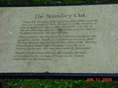
Originally thought to be approximately 400 years old prior to its death in 1976, the park cut the remains of this magnificent oak in 1986. However, a study of the growth rings after its removal showed the tree to be approximately 195 years of age.
Mentioned for the first time in 1832 as a corner to the property where Abraham Lincoln was born in 1809, the tree became known as the Boundary Oak. Having become associated with Abraham Lincoln as a historic landmark, the tree was carefully protected.
Despite preservation efforts, this stately old tree succumbed to the ravages of time as the nation celebrated its Bicentennial.
Erected by National Park Service, U.S. Department of the Interior.
Topics and series. This historical marker is listed in this topic list: Horticulture & Forestry. In addition, it is included in the Former U.S. Presidents: #16 Abraham Lincoln, and the Historic Trees series lists. A significant historical year for this entry is 1976.
Location. Marker has been permanently removed. It was located near 37° 31.825′ N, 85° 44.242′ W. Marker was in Hodgenville, Kentucky, in Larue County. It could be reached
this page online
We have been informed that this marker is no longer there and will not be replaced. This page is an archival view of what was.
Regionally, this marker was in the American South and specifically in the Upper South. Globally, it was in North America, the Western Hemisphere, the Western World, and the Anglosphere. Historically, it found itself in what was once the territory of the Mississippian Culture and also the Antebellum South.

Other nearby markers. At least 8 other markers are within walking distance of this location: Sinking Spring (within shouting distance of this marker); The Memorial Building (within shouting distance of this marker); a different marker also named The Sinking Spring (within shouting distance of this marker); a different marker also named Boundary Oak (within shouting distance of this marker); Nancy Lincoln Inn (within shouting distance of this marker); An Enduring Symbol
Photographed by Beverly Pfingsten, June 11, 2005
2. The Boundry Oak Marker
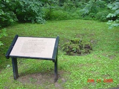
All that remains of the oak tree is the stump.
Credits. This page was last revised on July 29, 2024. It was originally submitted on November 2, 2008, by Bill Pfingsten of Bel Air, Maryland. This page has been viewed 2,302 times since then and 33 times this year. Last updated on July 28, 2024, by Connor Olson of Menomonee Falls, Wisconsin. Photos: 1, 2. submitted on November 2, 2008, by Bill Pfingsten of Bel Air, Maryland. • Devry Becker Jones was the editor who published this page.
