White Sands in Doña Ana County, New Mexico — The American Mountains (Southwest)
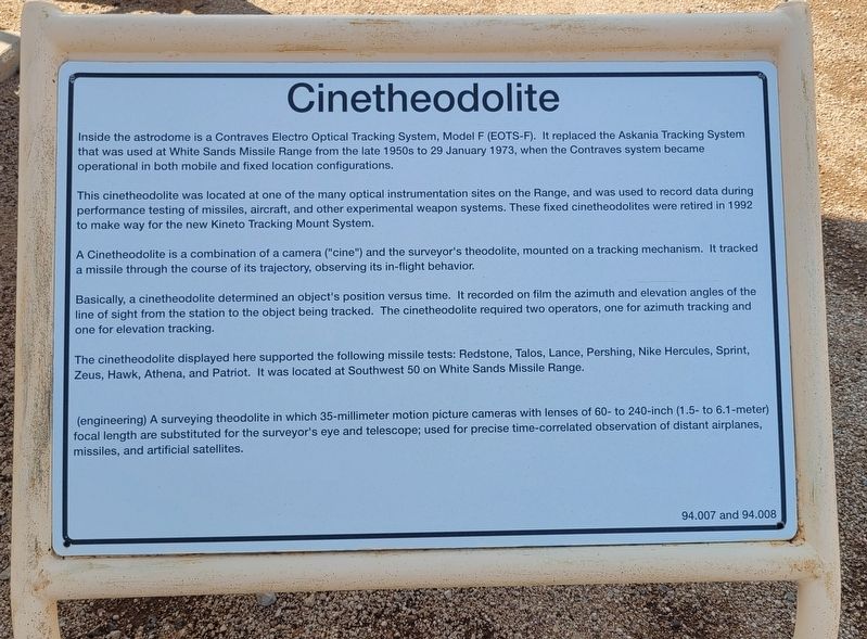
Cinetheodolite
Photographed by James Hulse, July 23, 2024
1. Cinetheodolite Marker
This cinetheodolite was located at one of the many optical instrumentation sites on the Range, and was used to record data during performance testing of missiles, aircraft, and other experimental weapon systems. These fixed cinetheodolites were retired in 1992 to make way for the new Kineto Tracking Mount System.
A Cinetheodolite is a combination of a camera ("cine") and the surveyor's theodolite, mounted on a tracking mechanism. It tracked a missile through the course of its trajectory, observing its in-flight behavior.
Basically, a cinetheodolite determined an object's position versus time. It recorded on film the azimuth and elevation angles of the line of sight from the station to the object being tracked. The cinetheodolite required two operators, one for azimuth tracking and one for elevation tracking.
The
this page online
(engineering) A surveying theodolite in which 35-millimeter motion picture cameras with lenses of 60- to 240-inch (1.5- to 6.1-meter) focal length are substituted for the surveyor's eye and telescope; used for precise time-correlated observation of distant airplanes, missiles, and artificial satellites.
Erected by White Sands Missile Range Museum. (Marker Number 94.007.)
Topics. This historical marker is listed in this topic list: Air & Space. A significant historical date for this entry is January 29, 1973.
Location. 32° 23.132′ N, 106° 28.688′ W. Marker is in White Sands, New Mexico, in Doña Ana County. It is on Wsmr P Rt 1 (New Mexico Route 213) 4 miles south of U.S. 70. The marker and various missiles are located on the grounds of the White Sands Missile Range Museum. Touch for map. Marker is in this post office area: White Sands Missile Range NM 88002, United States of America. Touch for directions.

Regionally, this
Photographed by James Hulse, July 23, 2024
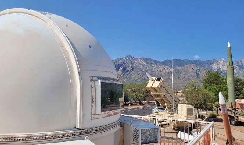
2. The astrodome of the Cinetheodolite
Other nearby markers. At least 8 other markers are within walking distance of this marker: Tracking Telescopes at White Sands Missile Range (here, next to this marker); The Type IV (T-4) Tracking Telescope at Mule Peak (a few steps from this marker); Hermes A1 (a few steps from this marker); Clyde Tombaugh (1906-1997) (a few steps from this marker); IGOR (a few steps from this marker); MLRS Multiple Launch Rocket System (a few steps from this marker); Anatomy of the Type IV (T-4) Tracking Telescope (a few steps from this marker); Fat Man Bomb Casing (a few steps from this marker). Touch for a list and map of all markers in White Sands.
More about this marker. The marker and museum are located on the White Sands Missile Range, an active U.S. military installation. The museum is open to the public, but appropriate identification
Photographed by James Hulse, July 23, 2024
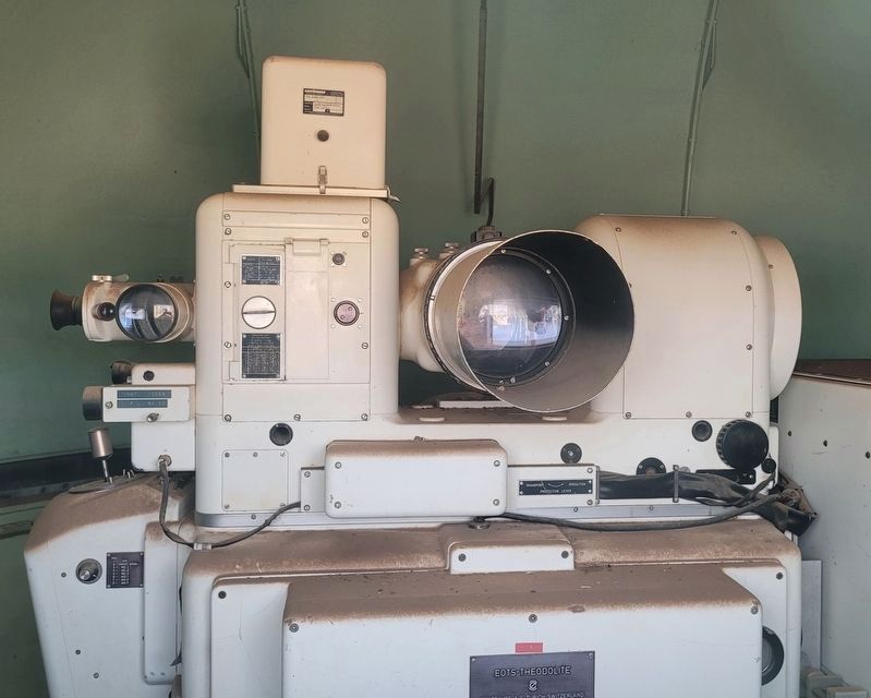
3. The inside optics of the Cinetheodolite
Contraves Electro Optical Tracking System, Model F (EOTS-F)
Also see . . .
1. Cinetheodolite.
A cinetheodolite or kinetheodolite is a photographic instrument for collection of trajectory data. It can be used to acquire data in the testing of missiles, rockets, projectiles, aircraft, and fire control systems; in the ripple firing of rockets, graze action tests, air burst fuze tests, and similar operations. Cinetheodolites provide angular measurements of the line of sight to the vehicle. This permits acquiring accurate position data. Together with timing systems, velocity and acceleration data can be developed from the position measurements. Cinetheodolites can serve as primary sources of position and velocity data to about 30 km slant range.(Submitted on July 28, 2024, by James Hulse of Medina, Texas.)
2. Welcome to the White Sands Missile Range Museum. White Sands Missile Range Museum (Submitted on July 28, 2024, by James Hulse of Medina, Texas.)
Photographed by James Hulse, July 23, 2024
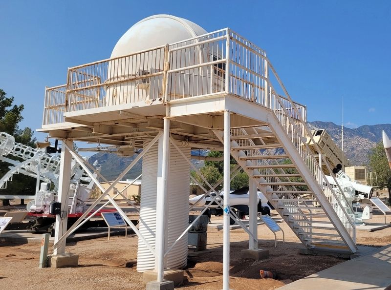
4. The full view of the Cinetheodolite and Marker
Credits. This page was last revised on July 29, 2024. It was originally submitted on July 28, 2024, by James Hulse of Medina, Texas. This page has been viewed 836 times since then and 166 times this year. Photos: 1, 2, 3, 4. submitted on July 29, 2024, by James Hulse of Medina, Texas.
