Near Middleburgh in Schoharie County, New York — The American Northeast (Mid-Atlantic)
Welcome to Vroman’s Nose
25,000 Years in the Making
| — | Enjoy your stay and come back soon! | — |
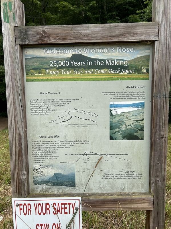
Photographed by Steve Stoessel, July 28, 2024
1. Welcome to Vroman’s Nose Marker
Glacial Movement
Vroman's Nose is a classic example of a "scour and pluck" formation As the Wisconsin glacier moved across the hills it yanked large chunks of bedrock to loosen or "pluck them off slowly causing the formation of the cliffs on the south side of Vroman’s Nose. The scouring sediment of the glacier caused the gentle sculpture of the north-facing slope.
Glacial Striations
Look for the glacial scratches called "striations" and chatter marks produced by stones protruding from the bottom of the moving glacier. These marks show the advancing ice was moving down the valley.
Glacial Lake Effect
Vroman's Nose, during the time of climate fluctuation and glacial melting was almost completely under water. The summit of the nose stood about 1,220 feet while Lake Schoharie lay at about 1,170 feet. Thus the Dance Floor of today's mountain and its steep cliff face must have formed a most beautiful cliffed shoreline of glacial Lake Schoharie. And for a while behind that shore, Vroman’s Nose must have been Vroman's Island - Dr. Robert Titus
Geology
The nose has many layers of sedimentary bedrock The uppermost layer
this page online
Topics. This historical marker is listed in this topic list: Landmarks.
Location. 42° 35.633′ N, 74° 21.471′ W. Marker is near Middleburgh, New York, in Schoharie County. It can be reached from Mill Valley Road one mile west of New York State Route 30 when traveling west. Touch for map. Marker is in this post office area: Middleburgh NY 12122, United States of America. Touch for directions.

Regionally, this marker is in Upstate New York and in the Mohawk Valley. It is also in the American Northeast, in the Mid-Atlantic, in Appalachia, and specifically in Northern Appalachia. Globally, it is in North America, the Western Hemisphere, the Western World, and the Anglosphere. Historically, it finds itself in what was once the Haudenosaunee (Iroquois) Confederacy, New Netherland, and one of the original Thirteen Colonies.
Other nearby markers. At least 8 other markers are within 2 miles of this marker, measured as the crow flies: Vroman's Land (approx. 0.4 miles away); Smoke Generator (approx.
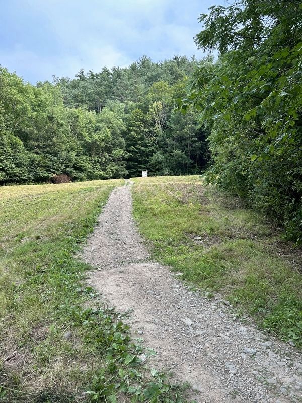
Photographed by Steve Stoessel, July 28, 2024
2. Welcome to Vroman’s Nose Marker
Also see . . . Vroman’s Nose (Wikipedia). (Submitted on July 28, 2024, by Steve Stoessel of Niskayuna, New York.)

Photographed by Steve Stoessel, July 28, 2024
3. View from the Top of Vroman’s Nose
Looking south along the Schoharie Valley from Vroman’s Nose

Photographed by Steve Stoessel, July 28, 2024
4. Looking Northeast from the Nose
Note the ragged cliff edges on the left.
Credits. This page was last revised on July 29, 2024. It was originally submitted on July 28, 2024, by Steve Stoessel of Niskayuna, New York. This page has been viewed 1,013 times since then and 337 times this year. Photos: 1, 2. submitted on July 28, 2024, by Steve Stoessel of Niskayuna, New York. 3, 4. submitted on July 29, 2024, by Steve Stoessel of Niskayuna, New York.
