Haworth in Bergen County, New Jersey — The American Northeast (Mid-Atlantic)
Haworth's Early Water Supply
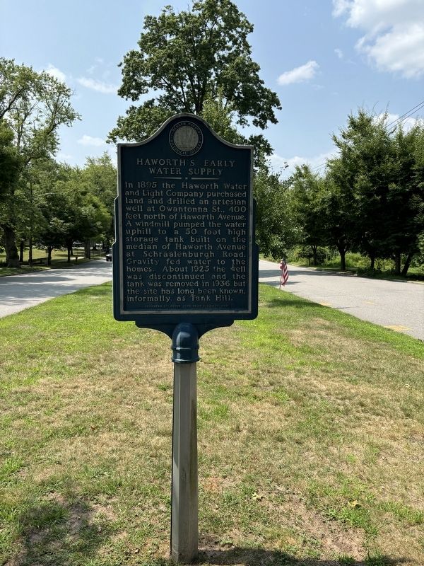
Photographed by Raymond Siwek
1. Haworth's Early Water Supply Marker
In 1895, the Haworth Water and Light Company purchased land and drilled an artesian well at Owantonna St., 400 feet north of Haworth Avenue. A windmill pumped the water uphill to a 50 foot high storage tank built on the median of Haworth Avenue at Schraalenburgh Road. Gravity fed water to the homes. About 1925 the well was discontinued and the tank was removed in 1936 but the site has long been known informally as Tank Hill.
Erected by Bergen County Historical Society.
Topics and series. This historical marker is listed in this topic list: Charity & Public Work. In addition, it is included in the Windmills series list. A significant historical year for this entry is 1895.
Location. 40° 57.645′ N, 73° 59.224′ W. Marker is in Haworth, New Jersey, in Bergen County. It is at the intersection of Haworth Avenue and Owatonna Street, on the left when traveling west on Haworth Avenue. Touch for map. Marker is in this post office area: Haworth NJ 07641, United States of America. Touch for directions.

Regionally, this marker is in North Jersey, in Greater Newark, and in the New York City Metropolitan Area. It is also in the
this page online
Other nearby markers. At least 8 other markers are within 2 miles of this marker, measured as the crow flies: Schraalenburgh Road (approx. 0.4 miles away); Zabriskie-Christie House (approx. 0.4 miles away); Harold Hess Lustron House (approx. 1.2 miles away); Demarest Railroad Station (approx. 1.3 miles away); The Perry Cemetery (approx. 1.3 miles away); Derick Banta House (approx. 1.4 miles away); Reformed Church of Closter (approx. 1.4 miles away); Old North Church (approx. 1½ miles away). Touch for a list and map of all markers in Haworth.
Credits. This page was last revised on July 31, 2024. It was originally submitted on July 29, 2024, by Raymond Siwek of Morristown, New Jersey. This page has been viewed 238 times since then and 58 times this year. Photo 1. submitted on July 29, 2024, by Raymond Siwek of Morristown, New Jersey. • Michael Herrick was the editor who published this page.
Editor’s want-list for this marker. A wide view photo of the marker and its surroundings. • Can you help?
