Valkenburg in Valkenburg aan de Geul, Limburg, Netherlands — Northwestern Europe
Kasteel Oost
⎯⎯⎯
Oost Castle
| — | Rijksmonument | — |
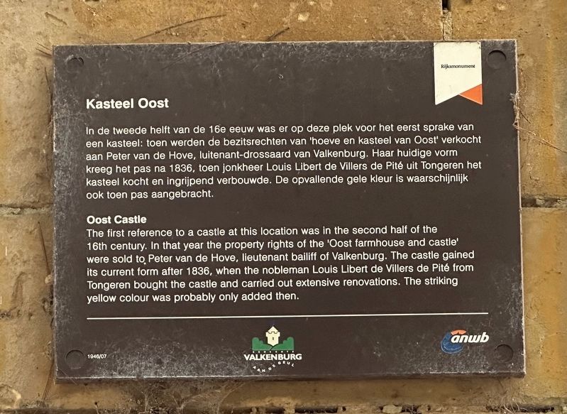
Photographed by Andrew Ruppenstein, July 13, 2024
1. Kasteel Oost / Oost Castle Marker

In de tweede helft van de 16e eeuw was er op deze plek voor het eerst sprake van een kasteel: toen werden de bezitsrechten van 'hoeve en kasteel van Oost' verkocht aan Peter van de Hove, luitenant-drossaard van Valkenburg. Haar huidige vorm kreeg het pas na 1836, toen jonkheer Louis Libert de Villers de Pité uit Tongeren het kasteel kocht en ingrijpend verbouwde. De opvallende gele kleur is waarschijnlijk ook toen pas aangebracht.
The first reference to a castle at this location was in the second half of the 16th century. In that year the property rights of the 'Oost farmhouse and castle' were sold to Peter van de Hove, lieutenant bailiff of Valkenburg. The castle gained its current form after 1836, when the nobleman Louis Libert de Villers de Pité from Tongeren bought the castle and carried out extensive renovations. The striking yellow colour was probably only added then.
Erected by ANWB, Gemeente Valkenburg Aan De Geul. (Marker Number 1946/07.)
Topics. This historical marker is listed in this topic list: Notable Buildings. A significant historical year for this entry is 1836.
Location. 50° 51.74′ N, 5° 50.543′ E. Marker is in Valkenburg, Limburg, in Valkenburg aan de Geul. It is on Oosterweg,
this page online

Regionally, it is in Europe, the European Union, Atlantic Europe, the Benelux Low Countries, the Schengen Area, Western Europe, and the Western World. Historically, it finds itself in what was once the Roman Empire and specifically also the Holy Roman Empire.
Other nearby markers. At least 8 other markers are within walking distance of this marker: Kasteel Oost (here, next to this marker); Vaandeluitreiking Landstormkorps / Flag presentation of the Landstorm Corps (about 150 meters away, measured in a direct line); Geologisch Monument Groeve Kasteel Oost / Kasteel Oost Quarry Geological Monument (about 210 meters away); Halifax JB 907 Crash Memorial (approx. half a kilometer away); Crash Vliegtuig Kasteel Schaloen / Kasteel Schaloen Plane Crash (approx. half a kilometer away); Duitse invasie - May 10, 1940 - German Invasion (approx. 0.7 kilometers away); Berkelpoort (city gate) (approx. 0.7 kilometers away); Spaans Leenhof / Spanish Feudal Court (approx. 0.7 kilometers away). Touch for a list and map of all markers in Valkenburg.
Also see . . . Kasteel Oost (Valkenburg).

Photographed by Andrew Ruppenstein, July 13, 2024
2. Kasteel Oost / Oost Castle Marker - wide view

Photographed by Andrew Ruppenstein, July 13, 2024
3. Kasteel Oost / Oost Castle

Weenenk & Snel, den Haag (courtesy Trinity College, Watkinson Library), circa 1910
4. Kasteel Oost
Credits. This page was last revised on August 2, 2025. It was originally submitted on July 29, 2024, by Andrew Ruppenstein of Lamorinda, California. This page has been viewed 165 times since then and 19 times this year. Photos: 1, 2, 3, 4. submitted on July 29, 2024, by Andrew Ruppenstein of Lamorinda, California.
