Rostraver Township near Smithton in Westmoreland County, Pennsylvania — The American Northeast (Mid-Atlantic)
Cedar Creek Mill
Photographed by Bradley Owen, July 27, 2024
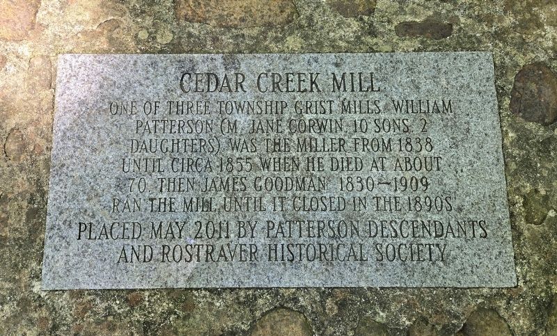
1. Cedar Creek Mill Marker
One of three township grist mills. William Patterson (m. Jane Corwin, 10 sons, 2 daughters) was the miller from 1838 until circa 1855 when he died at about 70. Then James Goodman 1830-1909 ran the mill until it closed in the 1890s.
Erected 2011 by Patterson Descendants and Rostraver Historical Society.
Topics. This historical marker is listed in this topic list: Industry & Commerce. A significant historical year for this entry is 1838.
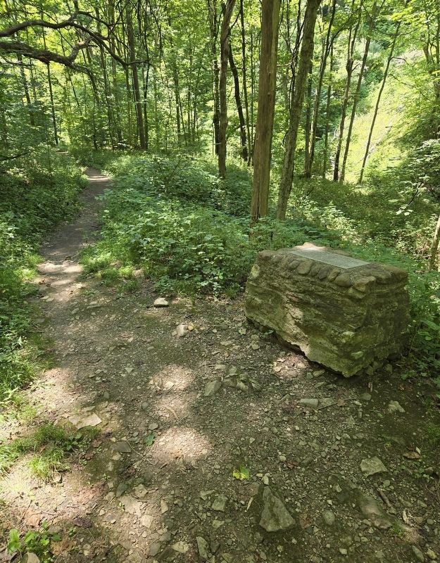
Location. 40° 10.276′ N, 79° 47.009′ W. Marker is near Smithton, Pennsylvania, in Westmoreland County. It is in Rostraver Township. It can be reached from Evergreen Drive 1.4 miles north of Municipal Drive, on the left when traveling north. Marker is located in Cedar Creek Park on the Cedar Creek Hiking Trail. Touch for map. Marker is in this post office area: Smithton PA 15479, United States of America. Touch for directions.

Regionally, this marker is in the Laurel Highlands and in Greater Pittsburgh. It is also in the American Northeast, in the Mid-Atlantic, in Appalachia, and specifically in Northern Appalachia. Globally, it is in North America, the Western Hemisphere, the
this page online
Other nearby markers. At least 8 other markers are within 3 miles of this marker, measured as the crow flies: Greenwood Homestead circa 1893 (approx. 0.2 miles away); Saw Mill (approx. 0.6 miles away); Rostraver Veterans Memorial (approx. 0.6 miles away); Col. George Crogan (Circa 1718 - 1782) (approx. 0.7 miles away); M102 Howitzer (approx. 0.7 miles away); Darr Mine Disaster (approx. 1.9 miles away); Fells District Roll of Honor (approx. 2.4 miles away); Fellsburg (approx. 2.4 miles away). Touch for a list and map of all markers in Smithton.
Photographed by Bradley Owen, July 27, 2024
2. Cedar Creek Mill Marker
Credits. This page was last revised on July 29, 2024. It was originally submitted on July 29, 2024, by Bradley Owen of Morgantown, West Virginia. This page has been viewed 292 times since then and 41 times this year. Photos: 1, 2. submitted on July 29, 2024, by Bradley Owen of Morgantown, West Virginia.
