Near Pensacola in Escambia County, Florida — The American South (South Atlantic)
Advanced Redoubt
| — | Gulf Islands National Seashore | — |

Photographed by Connor Olson, July 28, 2024
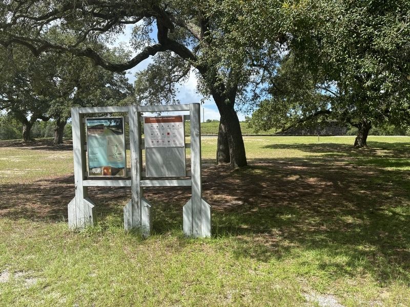
1. Advanced Redoubt Marker
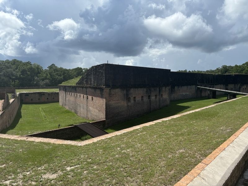
Advanced Redoubt was built between 1845 and 1870 as a part of the Fort Barrancas network to protect the Pensacola Navy Yard. While the primary mission of Barrancas was to guard the harbor entrance, the redoubt's mission was to defend the north side of the peninsula from a land attack. The redoubt was the only Third System fort that did not defend the coast. View the exhibits on the south side of the redoubt and then walk along the Trench Trail—or drive—to Fort Barrancas.
Redoubt Tours
See the bulletin board or ask at the Fort Barrancas visitor center about tours of Advanced Redoubt.
Safety Precautions
Be aware of uneven and slippery surfaces.
Stay off walls and historic objects.
Watch children closely.
Carry a flashlight while visiting the fort, which has dark corridors.
Watch your step; snakes may be present.
(captions)
Spanish Water Battery at Fort Barrancas
Advanced Redoubt arches
Fort Barrancas's cross-fire gunports
Erected by National Park Service, U.S. Department of the Interior.
Topics. This historical marker is listed in this topic list: Forts and Castles. A significant historical year for this entry is 1845.
Location. 30° 21.281′ N,
this page online

Regionally, this marker is on the Florida Panhandle. It is also in the American South, specifically in the Deep South, and on the Gulf Coast. Globally, it is in the North Atlantic Region, North America, a Gulf of Mexico state, the Western Hemisphere, the Western World, and the Anglosphere. Historically, it finds itself in what was once New Spain, the territory of the Mississippian Culture, one of the Confederate States of America, and the Antebellum South.
Other nearby markers. At least 8 other markers are within walking distance of this marker: Deadly Crossfire (about 300 feet away, measured in a direct line); Resisting Land-Based Assaults (about 300 feet away); Barrancas Trench (approx. 0.2 miles away); Fort Barrancas Area (approx. 0.4 miles away); The National Flight Academy (approx. 0.4 miles away); The Cradle of Naval Aviation
Photographed by Connor Olson, July 29, 2024
2. Advanced Redoubt Marker
Also see . . . Gulf Islands National Seashore - Advanced Redoubt. National Park Service (Submitted on July 31, 2024.)
Photographed by Connor Olson, July 28, 2024
3. Advanced Redoubt
Credits. This page was last revised on July 31, 2024. It was originally submitted on July 29, 2024, by Connor Olson of Menomonee Falls, Wisconsin. This page has been viewed 328 times since then and 56 times this year. Photos: 1, 2, 3. submitted on July 29, 2024, by Connor Olson of Menomonee Falls, Wisconsin. • Bernard Fisher was the editor who published this page.
