
Near Washburn in McLean County, North Dakota — The American Midwest (Upper Plains)
Fort Mandan Historic Site
Fort Mandan

Photographed by Barry Swackhamer
1. Fort Mandan Historic Site Marker
Approximately two miles south of this point, on low ground, on the east bank of the Missouri River the Lewis and Clark Expedition built Fort Mandan. This fort, the first military post in the State, was a substantial log structure which served as the winter quarters of the expedition during the winter of 1804-05. Lewis and Clark and their men spent a pleasant winter in this area adjacent to the friendly Mandan and Hidatsa Indians. The shifting channel of the Missouri River totally destroyed the site of the Fort after it had been abandoned. The Journals of Lewis and Clark contain the best accounts of this territory before the days of the fur trade.
The Lewis and Clark Expedition is the highlight of early North Dakota history and its successful conclusion is a lasting tribute to the courage and resourcefulness of Lewis and Clark and their men.
Erected by State Historical Society of North Dakota.
Topics and series. This historical marker is listed in these topic lists: Exploration • Forts and Castles. In addition, it is included in the Lewis & Clark Expedition series list. A significant historical year for this entry is 1804.
Location. 47° 17.702′ N,
this page online

Regionally, this marker is in North Dakota’s Standing Rock Sioux Tribe, in the Drift Prairie, and on the Missouri Plateau. It is also in the American Lewis & Clark Corridor, on the prairies, and on the Northern Plains. Globally, it is in North America, the Western Hemisphere, the Western World, and the Anglosphere. Historically, it finds itself in what was once Rupert’s Land and also the Louisiana Purchase.
Other nearby markers. At least 8 other markers are within 3 miles of this marker, measured as the crow flies: Lewis and Clark Expedition (here, next to this marker); Matootnha (approx.

Photographed by Barry Swackhamer
2. Fort Mandan Historic Site Marker
Also see . . . Winter at Fort Mandan - Discover Lewis & Clark. On 2 November 1804 below the Knife River Villages, work begins on the expedition’s winter fortification. ... “This place we have named Fort Mandan,” Lewis recorded, “in honour of our Neighbours” (Submitted on July 30, 2024, by Barry Swackhamer of Brentwood, California.)

Photographed by Barry Swackhamer
3. Fort Mandan Historic Site Marker
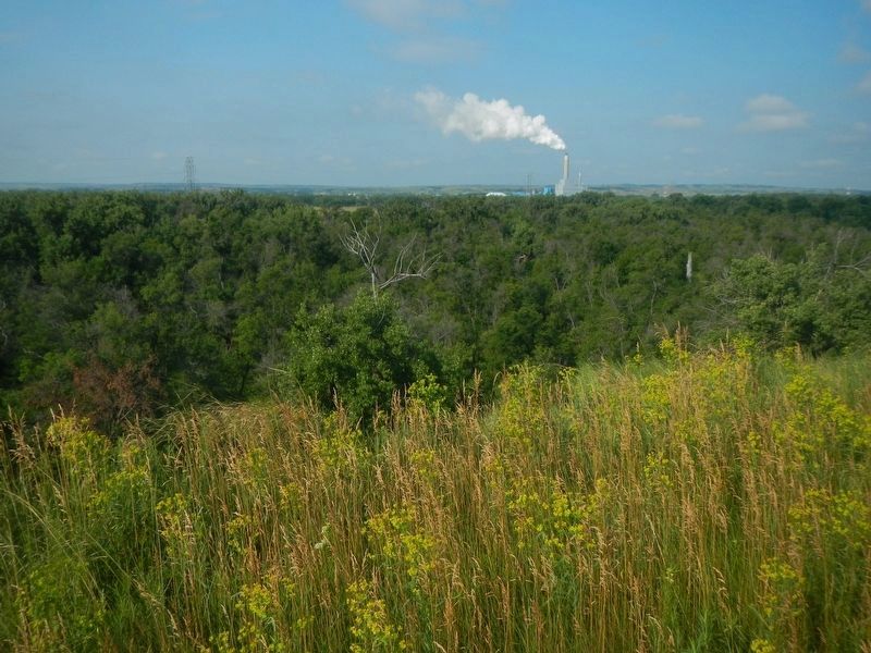
Photographed by Barry Swackhamer
4. Fort Mandan was out there, somewhere.
Credits. This page was last revised on July 17, 2025. It was originally submitted on July 30, 2024, by Barry Swackhamer of Brentwood, California. This page has been viewed 495 times since then and 109 times this year. Photos: 1, 2, 3, 4. submitted on July 30, 2024, by Barry Swackhamer of Brentwood, California.
